MyTopo
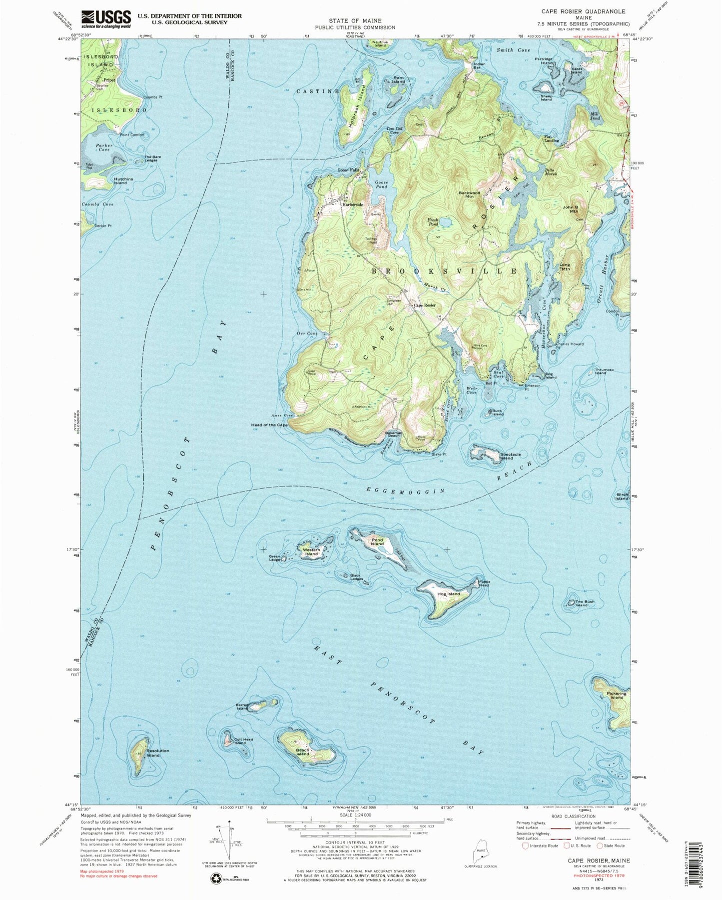
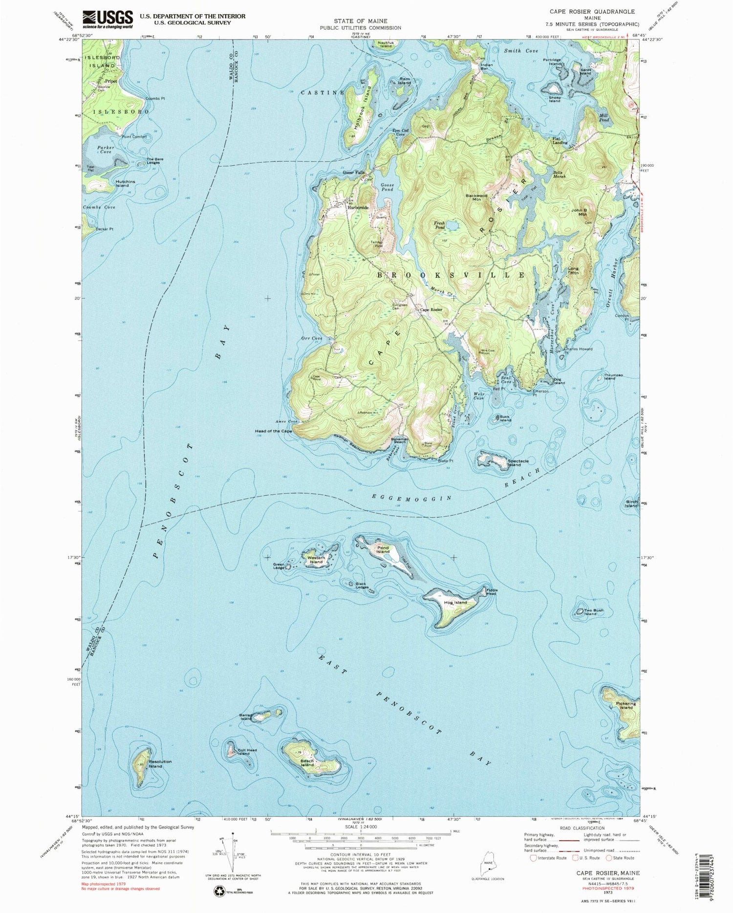
Classic USGS Cape Rosier Maine 7.5'x7.5' Topo Map
Couldn't load pickup availability
Historical USGS topographic quad map of Cape Rosier in the state of Maine. Typical map scale is 1:24,000, but may vary for certain years, if available. Print size: 24" x 27"
This quadrangle is in the following counties: Hancock, Waldo.
The map contains contour lines, roads, rivers, towns, and lakes. Printed on high-quality waterproof paper with UV fade-resistant inks, and shipped rolled.
Contains the following named places: Ames Cove, Backwood Mountain, Bakeman Beach, Bakeman Cove, Barred Island, Bayview Cemetery, Beach Island, Bells Marsh, Benson Brook, Black Ledges, Blake Point, Buck Island, Cape Rosier, Charles Howard Point, Colt Head Island, Condon Point, Coombs Point, Decker Point, Dog Island, Emerson Point, Evergreen Cemetery, Fiddle Head, Fresh Pond, Goose Falls, Goose Pond, Green Ledge, Harborside, Head of the Cape, Hog Island, Holbrook Island, Horseshoe Cove, Hutchins Island, Indian Bar, John B Mountain, Long Mountain, Marsh Creek, Mill Pond, Nautilus Island, Orr Cove, Parker Cove, Partridge Island, Point Comfort, Pond Island, Ram Island, Red Point, Redman Beach, Resolution Island, Saras Island, Seal Cove, Sheep Island, Smith Cove, Spectacle Island, Stand Cove, The Bare Ledges, Thrumcap Island, Tom Cod Cove, Two Bush Island, Weir Cove, Western Island, Cape Rosier, Flat Landing, Pripet, Orcutt Harbor, Islesboro Ledge, Merriman Ledge, Nautilus Rock, Spectacle Island Ledge, Thrumcap Ledge, Two Bush Ledge, Barneys Mistake, Town of Brooksville, Goose Pond Dam, Brooksville Post Office, Goose Falls, Holbrook Island Sanctuary, Indian Bar Cemetery, Snyders Rock, Carver Field Cemetery, Coleman Family Cemetery, Dodges Point Cemetery, Dyer Cemetery, John B Gray Cemetery, Indian Point Cemetery, Jesse Gray Cemetery, Moses Blake Cemetery, Old Bakeman Cemetery, Valerius Black Cemetery


