MyTopo
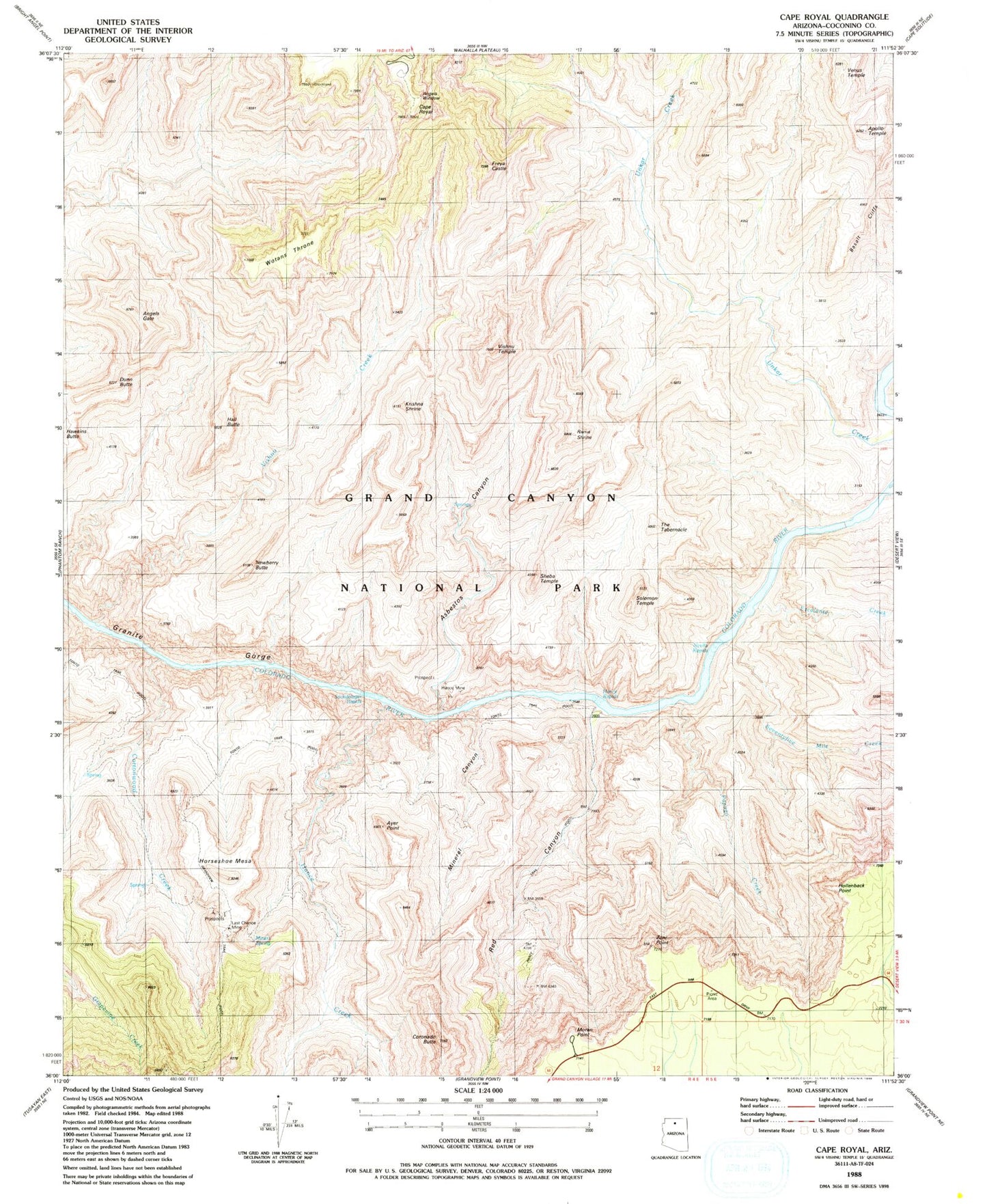
USGS Classic Cape Royal Arizona 7.5'x7.5' Topo Map
Couldn't load pickup availability
Historical USGS topographic quad map of Cape Royal in the state of Arizona. Scale: 1:24000. Print size: 24" x 27"
This quadrangle is in the following counties: Coconino.
The map contains contour lines, roads, rivers, towns, lakes, and grids including latitude / longitude and UTM / MGRS. Printed on high-quality waterproof paper with UV fade-resistant inks.
Contains the following named places: Angels Gate, Angels Window, Apollo Temple, Asbestos Canyon, Ayer Point, Cape Royal, Coronado Butte, Cottonwood Creek, Dunn Butte, Escalante Creek, Freya Castle, Grandview Trail, Hall Butte, Hance Creek, Hance Rapids, Hance Trail, Horseshoe Mesa, Krishna Shrine, Mineral Canyon, Moran Point, Newberry Butte, O'Neill Spring (historical), Papago Creek, Hollenback Point, Rama Shrine, Red Canyon, Seventyfive Mile Creek, Nevills Rapids, Sheba Temple, Sockdolager Rapids, The Tabernacle, Venus Temple, Vishnu Creek, Vishnu Temple, Wotans Throne, Zuni Point, Seventy-Five Mile Rapids, Hance Mine, Last Chance Mine, Page Spring, Hance Canyon, Solomon Temple


