MyTopo
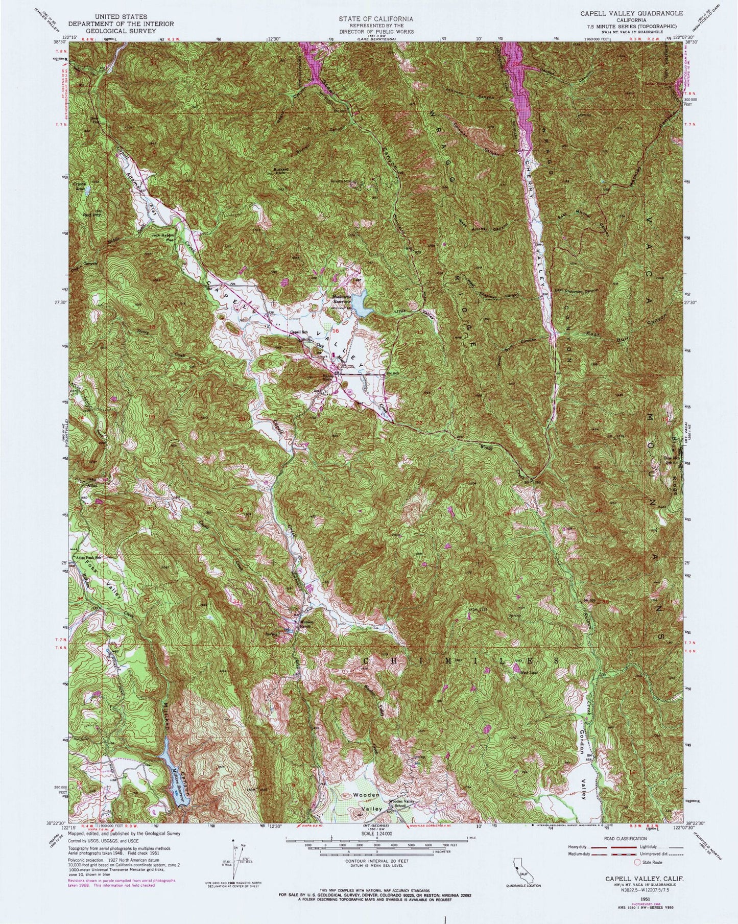
Classic USGS Capell Valley California 7.5'x7.5' Topo Map
Couldn't load pickup availability
Historical USGS topographic quad map of Capell Valley in the state of California. Typical map scale is 1:24,000, but may vary for certain years, if available. Print size: 24" x 27"
This quadrangle is in the following counties: Napa, Solano.
The map contains contour lines, roads, rivers, towns, and lakes. Printed on high-quality waterproof paper with UV fade-resistant inks, and shipped rolled.
Contains the following named places: Adams Flat, Atlas Peak School, Bear Flat, Blue Mountain School, Burrell Canyon, Buzzard Rock, Capell Elementary School, Capell Valley, Cherry Valley, Chimiles, Coleman Canyon, Crystal Lake, Decke Canyon, East Bull Canyon, East Chapman Canyon, East Mitchel Canyon, Jack Rabbit Flat, Johnson Canyon, Little Valley, Milliken Reservoir, Moskowitz Reservoir, Mud Lake, Munson Ranch, Negro Canyon, Oak Moss Creek, Raney Rock, Red Mountain, Daglia Canyon, Foss Valley, Middle Creek, Soda Creek, Soda Valley, Stoney Creek, West Bull Canyon, West Chapman Canyon, West Mitchel Canyon, Wooden Valley Elementary School, Wragg Creek, Wragg Ridge, Atlas, Moskowite Airport (historical), Milliken 7 Dam, Moskowite 416 Dam, Lake La Verne 1414 Dam, Moskowite Corner Census Designated Place, Napa County Fire Department Station 14 Capell Valley


