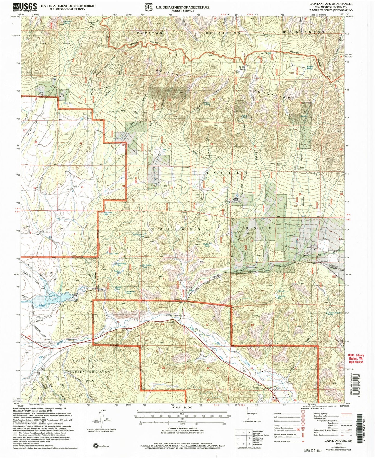
MyTopo
Classic USGS Capitan Pass New Mexico 7.5'x7.5' Topo Map
Couldn't load pickup availability
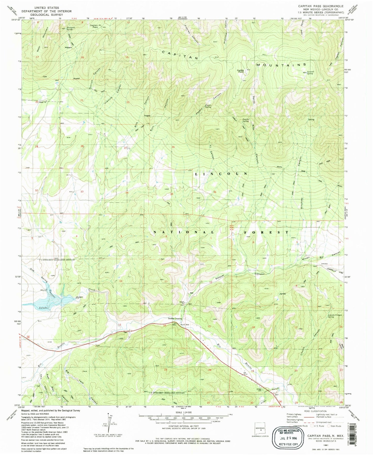
Historical USGS topographic quad map of Capitan Pass in the state of New Mexico. Typical map scale is 1:24,000, but may vary for certain years, if available. Print size: 24" x 27"
This quadrangle is in the following counties: Lincoln.
The map contains contour lines, roads, rivers, towns, and lakes. Printed on high-quality waterproof paper with UV fade-resistant inks, and shipped rolled.
Contains the following named places: Hinchley Ranch (historical), Lincoln Canyon, Padilla Ranch, Padilla Spring, Santa Rita Canyon, Summit Spring, Bills Canyon, Uranium Canyon, Thorium Canyon, Hinchley Canyon, Salazar Canyon, Double Crossing, Base Trail, Big Tank Canyon, Capitan Pass, Cave Canyon, East Well Canyon, Gyp Spring Canyon, Mitten Bar Canyon, Priest Canyon, Salado Creek, Summit Trail, Peppin Canyon, Padilla Tank, Hinchley Bowl, Lincoln Canyon Spring, Northwest Tank, Section 10 Tank, Salado Tank, Southeast Tank, Northeast Tank, Southwest 2 Tank, Padilla Trail, Vl Canyon, Peppin Spring, Buck Canyon, Southwest 1 Tank, Lost Tank, Hammett Spring, Padilla Point, Bear Trick Tank, Lower Padilla Spring, Upper Padilla Spring, Yellow Hand, King Prospect, Hopeful Claims Number 1-19, Monzo Claims, Salazar Canyon Pit, Barry Prospect, Barlejon Number Two, Drunzer Prospect, Oso, Pinie Claims, Silverstone Claim, Abo, Upper Rio Hondo Site One Dam, 10192 Water Well, G Bar F Ranch Airport, Wee Three Number 1 Mine, Wee Three Number 2 Mine, Padilla Trick Tank, Padilla Trail, Griego Cemetery