MyTopo
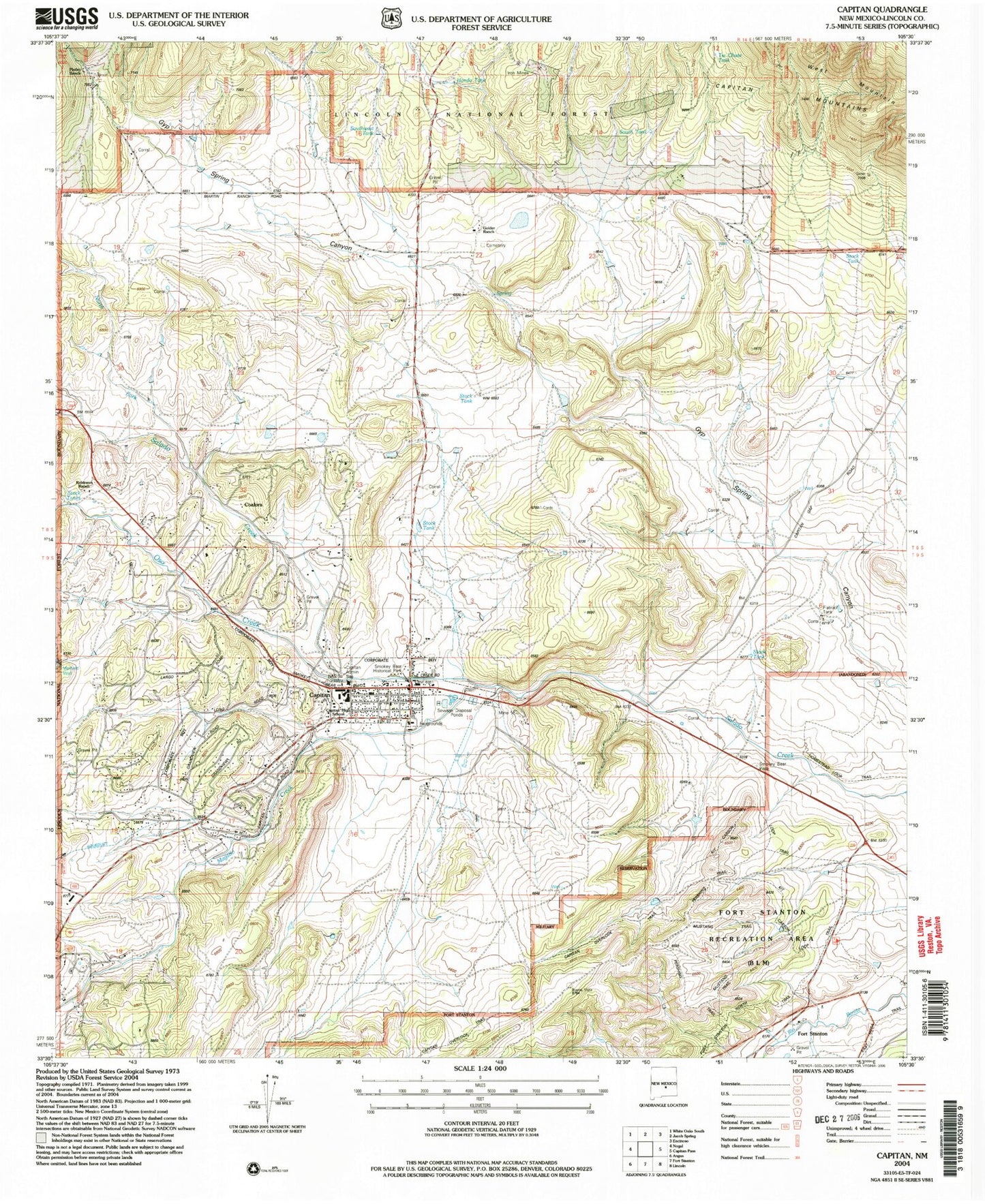
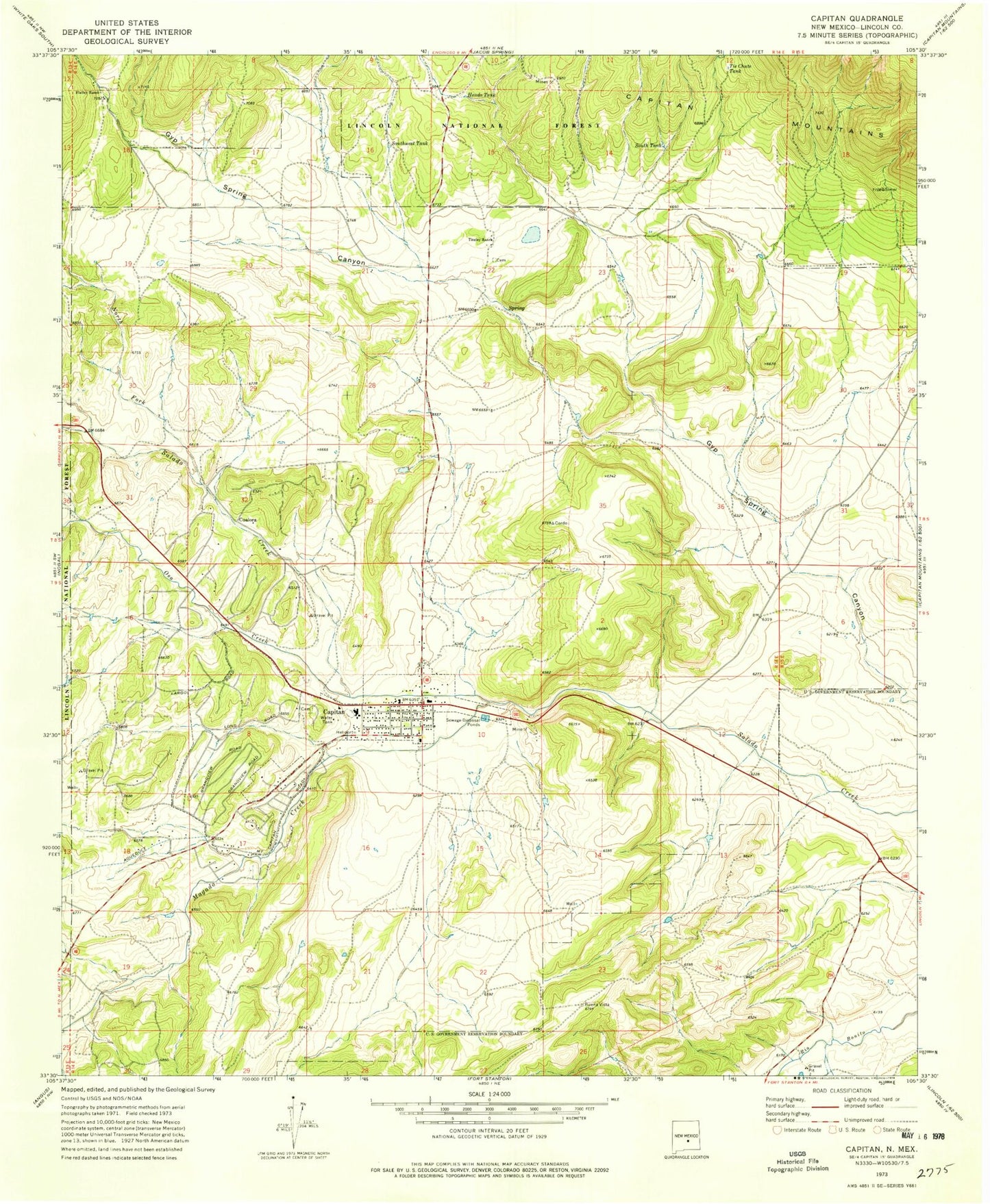
Classic USGS Capitan New Mexico 7.5'x7.5' Topo Map
Couldn't load pickup availability
Historical USGS topographic quad map of Capitan in the state of New Mexico. Typical map scale is 1:24,000, but may vary for certain years, if available. Print size: 24" x 27"
This quadrangle is in the following counties: Lincoln.
The map contains contour lines, roads, rivers, towns, and lakes. Printed on high-quality waterproof paper with UV fade-resistant inks, and shipped rolled.
Contains the following named places: Trinity Southern Baptist Church, United Methodist Church Parish, Capitan Four Square Church, Christ Community Fellowship Church, Sacred Heart Catholic Church, Church of Christ, Coalora, Flatley Ranch, Hondo Tank, Magado Creek, North Fork Salado Creek, Oso Creek, South Fork Salado Creek, South Tank, Southwest Tank, Tie Chute Tank, Golder Ranch, Robinson Ranch, Marfield Well, Capitan Forest Service Facility, Linderman, Gray, Capitan Mine, Capitan Number One, Capitan Number Two, Smokey Mine, Capitan, Smokey Bear State Park Point of Interest, 10010 Water Well, Capitan Weather Station, Capitan Historical Marker, Capitan Elementary School, Capitan High School, Capitian Depot Historic Site, Los Patos Ruins, Coalora Post Office (historical), Capitan Post Office, Fort Stanton, Village of Capitan, Lincoln County Emergency Medical Services Capitan Station, Capitan Volunteer Fire Department Station 1 Headquarters, Capitan Volunteer Fire Department Station 2, Capitan Police Department, Capitan Cemetery