MyTopo
Classic USGS Capitol Montana 7.5'x7.5' Topo Map
Couldn't load pickup availability
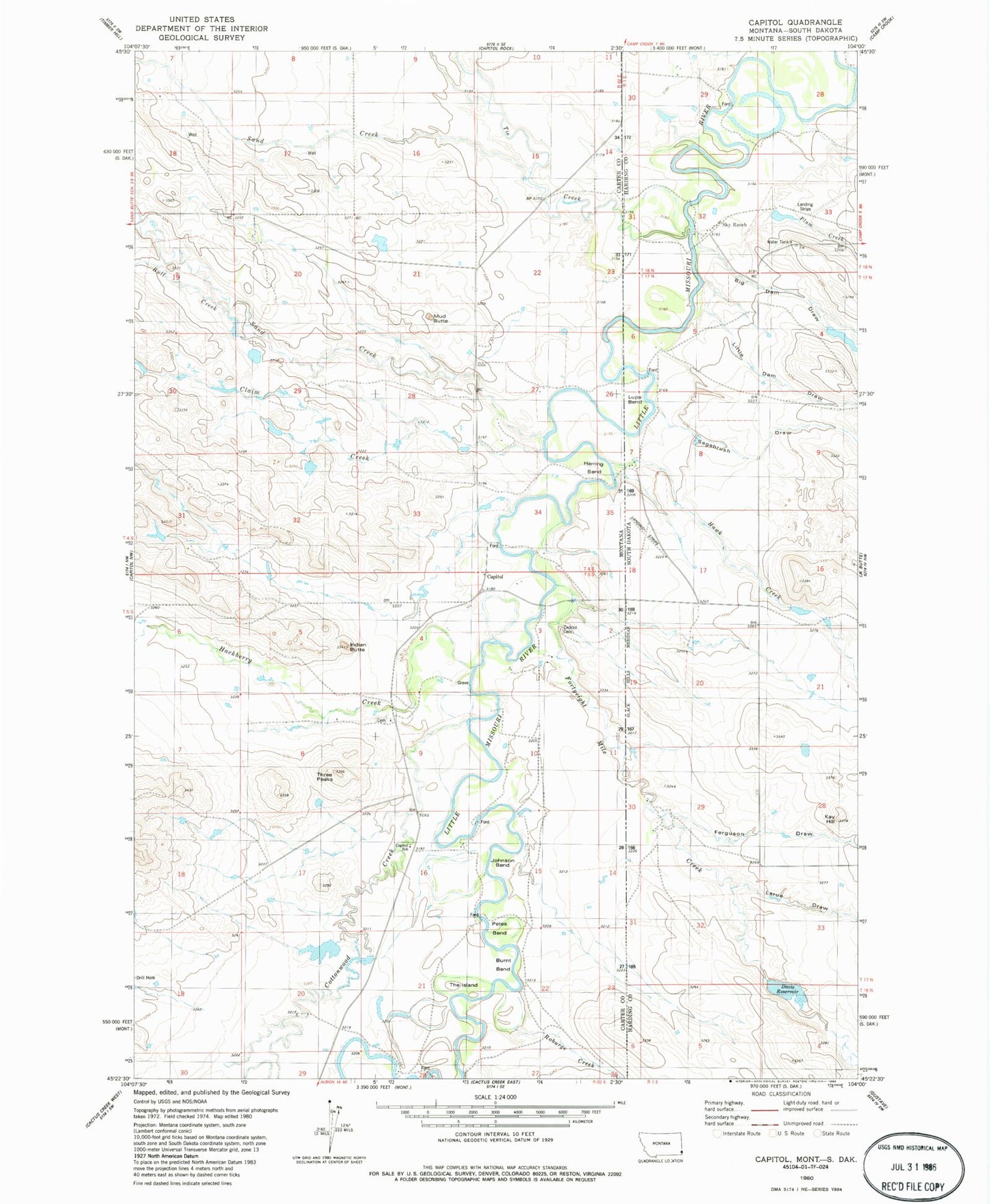
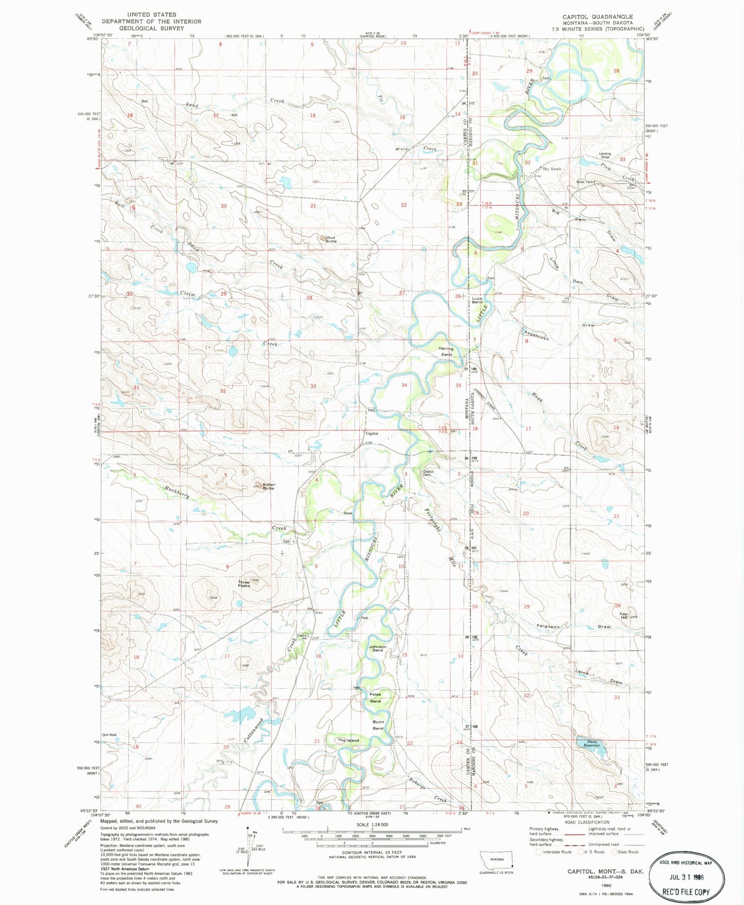
Historical USGS topographic quad map of Capitol in the states of Montana, South Dakota. Map scale may vary for some years, but is generally around 1:24,000. Print size is approximately 24" x 27"
This quadrangle is in the following counties: Carter, Harding.
The map contains contour lines, roads, rivers, towns, and lakes. Printed on high-quality waterproof paper with UV fade-resistant inks, and shipped rolled.
Contains the following named places: 04S62E27CBDC01 Well, 04S62E34DC__01 Well, 05S62E09BBDD01 Well, Big Dam Draw, Bull Creek, Burnt Bend, Capitol, Capitol Cemetery, Capitol Church Cemetery, Capitol Post Office, Capitol School, Claim Creek, Cottonwood Creek, Davis Irrigation Dam, Davis Reservoir, Ferguson Draw, Fly Swatter Number 1 Dam, Fortyeight Mile Creek, Hackberry Creek, Harring Bend, Hawk Creek, Indian Butte, Johnson Bend, Kay Hill, Larue Draw, Little Dam Draw, Little Missouri Lutheran Church, Mud Butte, Oleson Ranch, Petes Bend, Plum Creek, Price Number 1 Dam, Rex Davis Ranch, Roburge Creek, Sagebrush Draw, Sand Creek, Sky Ranch for Boys, Sky Ranch For Boys Airport, The Island, Three Peaks, Tie Creek


