MyTopo
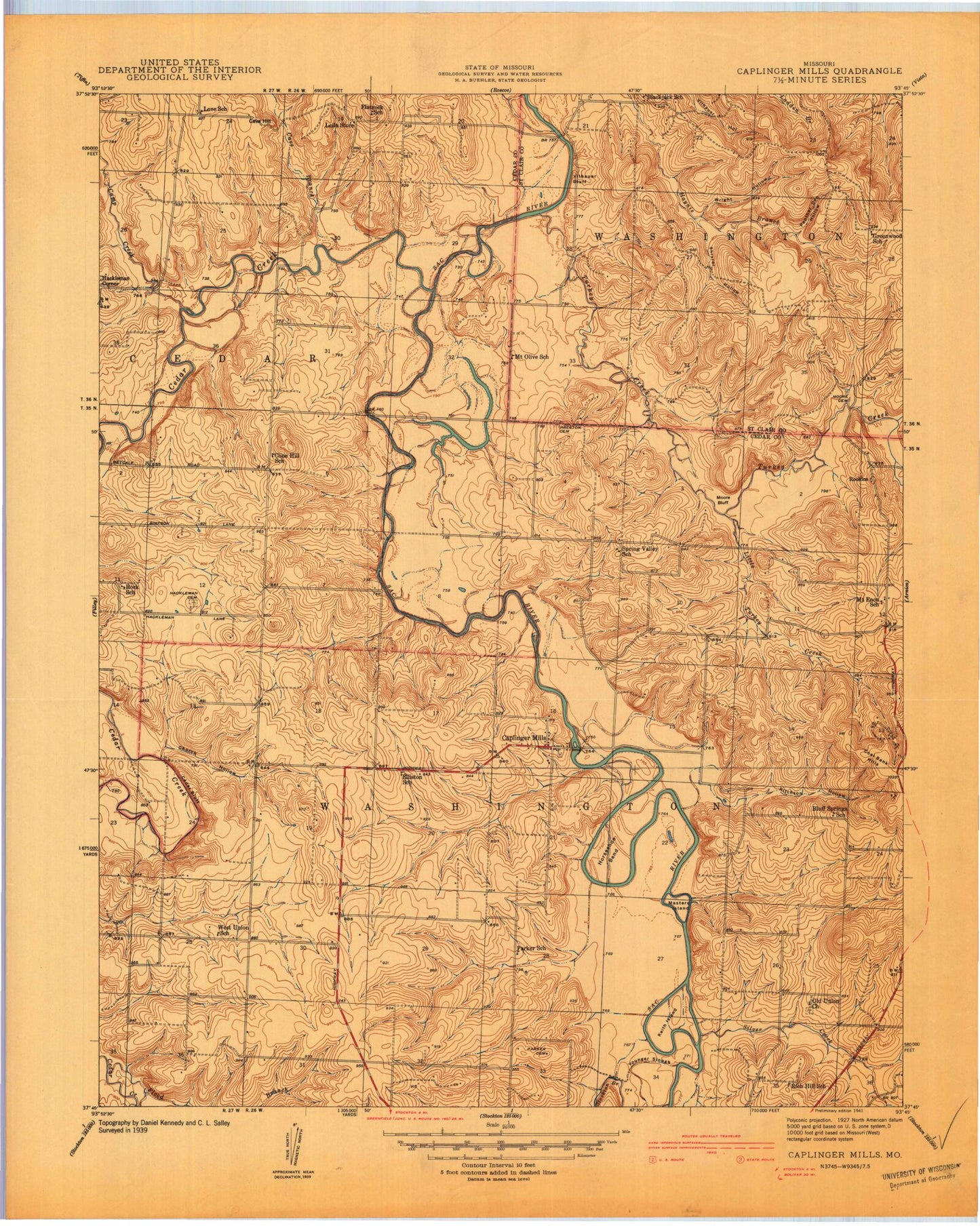
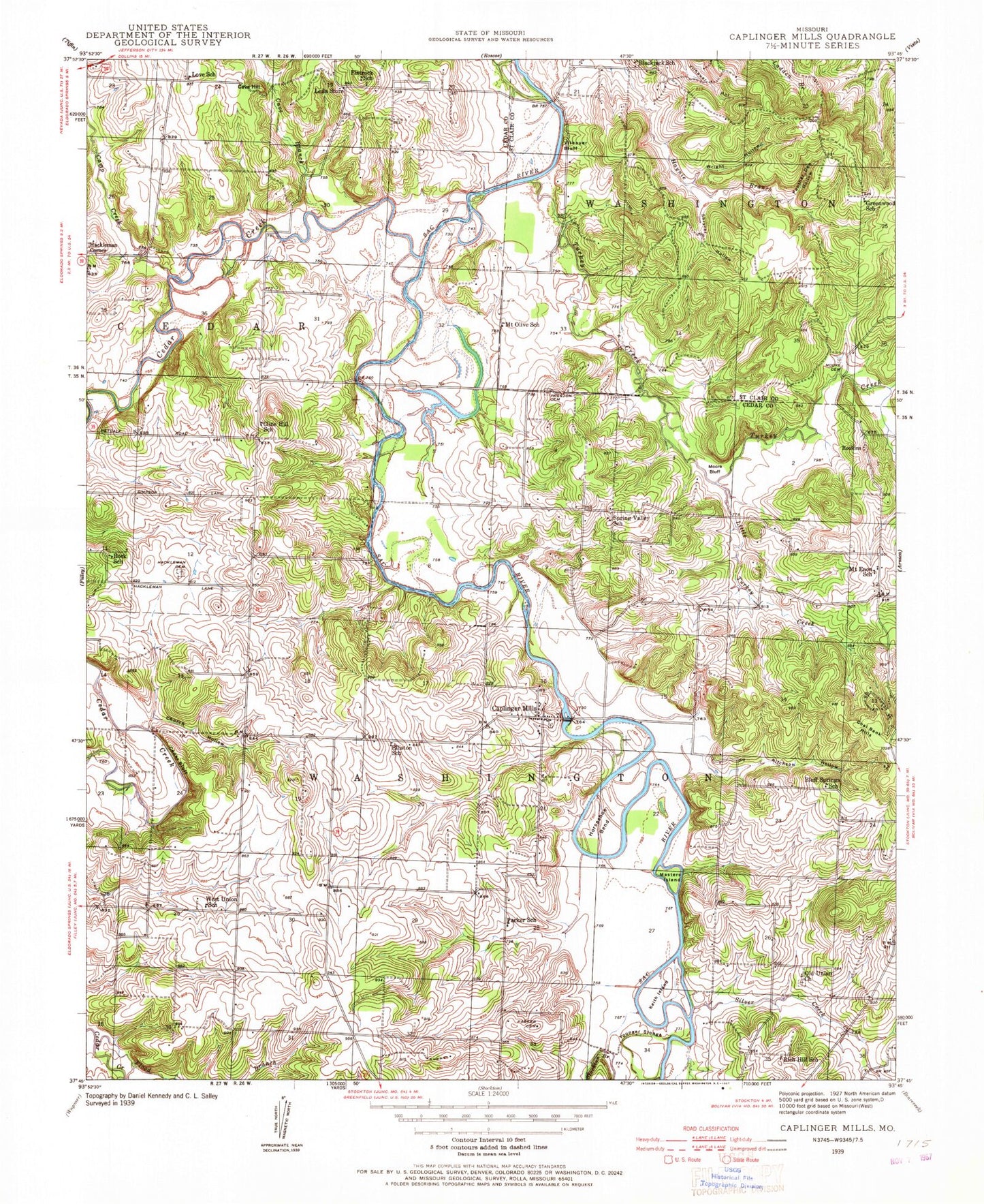
Classic USGS Caplinger Mills Missouri 7.5'x7.5' Topo Map
Couldn't load pickup availability
Historical USGS topographic quad map of Caplinger Mills in the state of Missouri. Map scale may vary for some years, but is generally around 1:24,000. Print size is approximately 24" x 27"
This quadrangle is in the following counties: Cedar, St. Clair.
The map contains contour lines, roads, rivers, towns, and lakes. Printed on high-quality waterproof paper with UV fade-resistant inks, and shipped rolled.
Contains the following named places: Blackjack, Blackjack School, Bland Hollow, Bluff Springs School, Camp Creek, Caplinger Mills, Caplinger Mills Dam, Caplinger Mills School, Caplinger Mills Volunteer Fire Department, Cave Branch, Cave Hill, Cedar Bluff, Cedar Creek, Church Hollow, Cline Hill School, Coal Bank Hills, Cowan Lake East, Cowan Lake East Dam, Cowan Lake West, Cowan Lake West Dam, Dorman Lake, Dorman Lake Dam, Elliston School, Fairview, Flatrock School, Flood Branch, Graceland, Greenwood School, Hackleman Cemetery, Hackleman Corner, Hackleman Corner Lake, Haynie Branch Natural Bridges, Hickman Lake Dam, Horseshoe Bend, Ivy, Keith Island, Leila Store, Little Turkey Creek, Love School, Masters Island, Moore Bluff, Mount Enon School, Mount Olive School, Old Union Church, Panther Den Hollow, Parker Cemetery, Parker School, Preston Cemetery, Rich Hill School, Ritchson Hollow, Rock School, Rookins, Rookins Cemetery, Sac River Reservoir, Silver Creek, Spring Valley School, Stockton Branch, Township of Cedar, Township of Washington, Turkey Creek, Vilhauer Bluff, West Union Missionary Baptist Church, West Union School, Wright Hollow, Younger Slough


