MyTopo
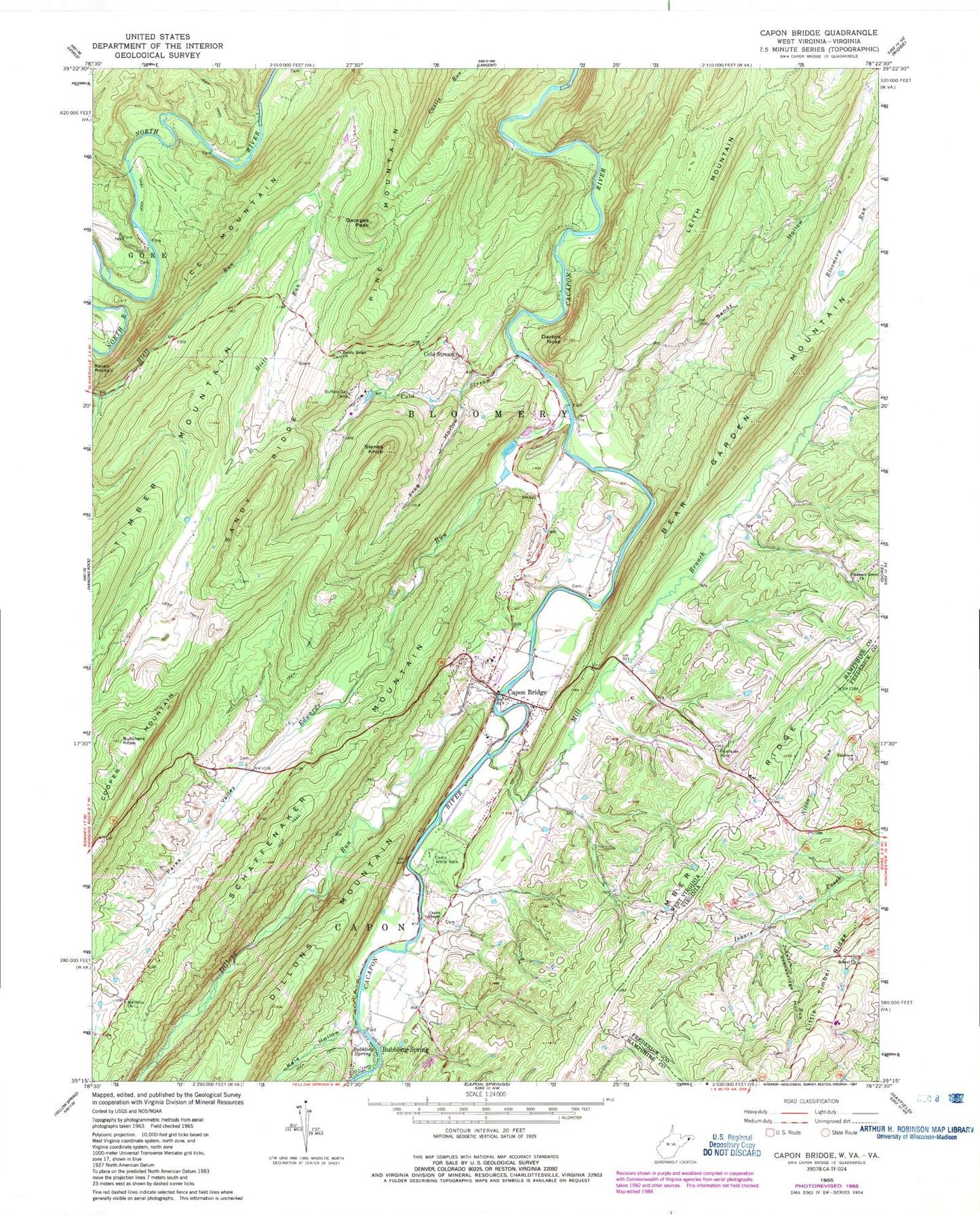
Classic USGS Capon Bridge West Virginia 7.5'x7.5' Topo Map
Couldn't load pickup availability
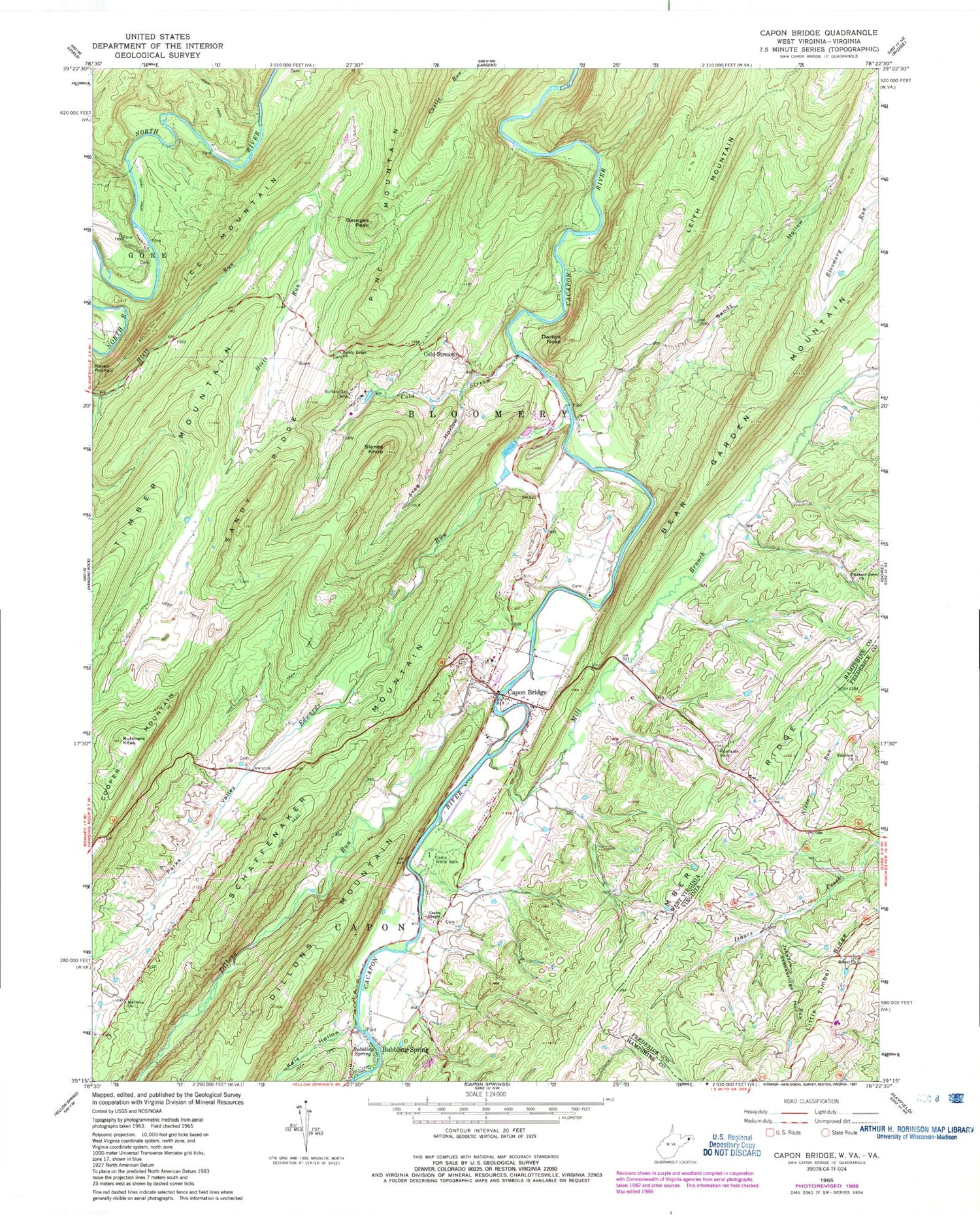
Historical USGS topographic quad map of Capon Bridge in the states of West Virginia, Virginia. Typical map scale is 1:24,000, but may vary for certain years, if available. Print size: 24" x 27"
This quadrangle is in the following counties: Frederick, Hampshire.
The map contains contour lines, roads, rivers, towns, and lakes. Printed on high-quality waterproof paper with UV fade-resistant inks, and shipped rolled.
Contains the following named places: Bear Garden Mountain, Bubbling Spring, Buffalo Gap Camp, Butchers Knob, Camp White Rock, Capon Bridge, Capon Chapel, Cold Stream, Darbys Nose, Edwards Run, Frog Hollow, Ice Mountain, Mill Branch, Mount Olive Church, Parks Valley, Pleasant Grove Church, Raven Rocks, Riggs Hollow, Sandy Hollow, Sandy Ridge, Sandy Ridge Church, Schaffenaker Mountain, Slanes Knob, Dillons Run, Kale Hollow, Old Man Run, Bubbling Spring, Cold Stream, Georges Peak, Leith Mountain, Pine Mountain, Cold Stream School (historical), Glenwood School (historical), Pike School (historical), Pleasant Grove School (historical), Sandy Ridge School (historical), Walnut Grove School (historical), Daisy Baker Spring, Hiett Spring, Ice Mountain Spring, Cold Stream Run Spring, Bore Spring, Buffalo Gap Spring, Capon Bridge Elementary School, Capon Bridge Middle School, Capon Bridge Post Office, Capon Chapel Cemetery, Edwards Run Wildlife Management Area, Town of Capon Bridge, River's Edge Farm Airport, Capon Bridge Volunteer Fire Department, Capon Bridge Rescue Squad, Sandy Ridge Cemetery, Capon Bridge Police Department, Bethel Church, Fairview Church, Johnson Run, Nixon Run, Stonebridge Hollow, Bethel School (historical), Crossroads School (historical), Bethel Cemetery, Fairview Cemetery


