MyTopo
Classic USGS Caponera Peak Arizona 7.5'x7.5' Topo Map
Regular price
$16.95
Regular price
Sale price
$16.95
Unit price
per
Couldn't load pickup availability
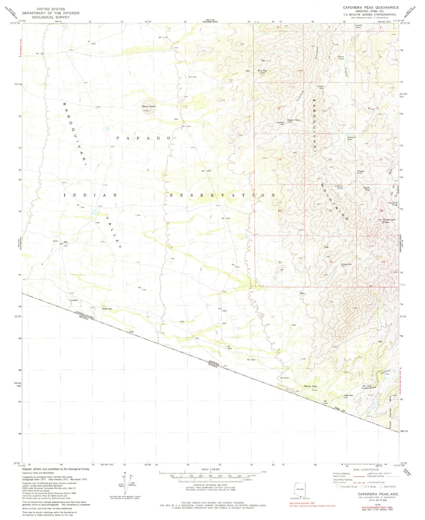
Historical USGS topographic quad map of Caponera Peak in the state of Arizona. Map scale may vary for some years, but is generally around 1:24,000. Print size is approximately 24" x 27"
This quadrangle is in the following counties: Pima.
The map contains contour lines, roads, rivers, towns, and lakes. Printed on high-quality waterproof paper with UV fade-resistant inks, and shipped rolled.
Contains the following named places: Antonio Tank, Beyota Tank, Buenos Aires, Caponera Peak, Caponera Tank, Chono Tank, Coyote Canyon, Coyote Pass, Coyote Tank, Hendricks Well, Kom Kug, Kom Kug Windmill, Lopez Well, Nachi Kulik, Newfield, Papago Tank, Presumido Canyon, Saguaro Tank, Sapano Vaya