MyTopo
Classic USGS Capote Peak Texas 7.5'x7.5' Topo Map
Regular price
$16.95
Regular price
Sale price
$16.95
Unit price
per
Couldn't load pickup availability
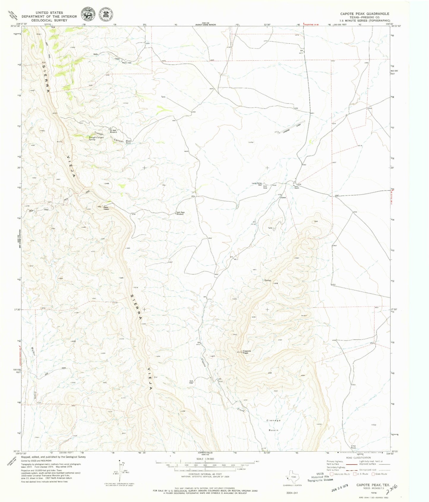
Historical USGS topographic quad map of Capote Peak in the state of Texas. Map scale may vary for some years, but is generally around 1:24,000. Print size is approximately 24" x 27"
This quadrangle is in the following counties: Presidio.
The map contains contour lines, roads, rivers, towns, and lakes. Printed on high-quality waterproof paper with UV fade-resistant inks, and shipped rolled.
Contains the following named places: Brite Ranch, Capote Peak, Capote Springs, Cruz Tank, Hoya Tank, Lucky Strike Well, Oil Well Windmill, Rancho Cielo, Split Peak Windmill, Trough Canyon, Trough Canyon Spring