MyTopo
Classic USGS Caprock Mountain New Mexico 7.5'x7.5' Topo Map
Regular price
$16.95
Regular price
Sale price
$16.95
Unit price
per
Couldn't load pickup availability
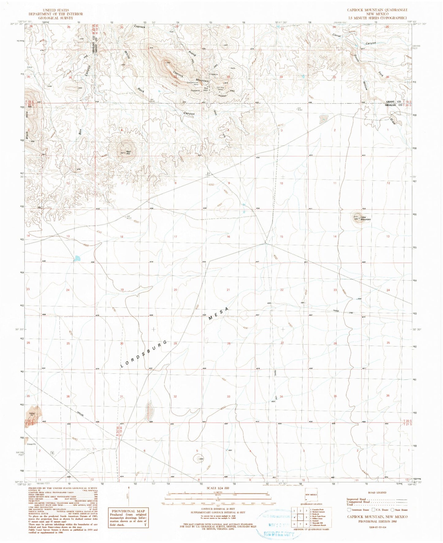
Historical USGS topographic quad map of Caprock Mountain in the state of New Mexico. Map scale may vary for some years, but is generally around 1:24,000. Print size is approximately 24" x 27"
This quadrangle is in the following counties: Grant, Hidalgo.
The map contains contour lines, roads, rivers, towns, and lakes. Printed on high-quality waterproof paper with UV fade-resistant inks, and shipped rolled.
Contains the following named places: Box Canyon Windmill, Caprock Mountain, Caprock Prong, Cliff Roy, Cliff Roy Mine, Constellation Mine, Fuller Ranch, Harper Windmill, Lone Mountain, Lordsburg Mesa, Poe Mine, Red Hill, South Fork Corral Canyon, Willow Draw, Z Bar L Windmill