MyTopo
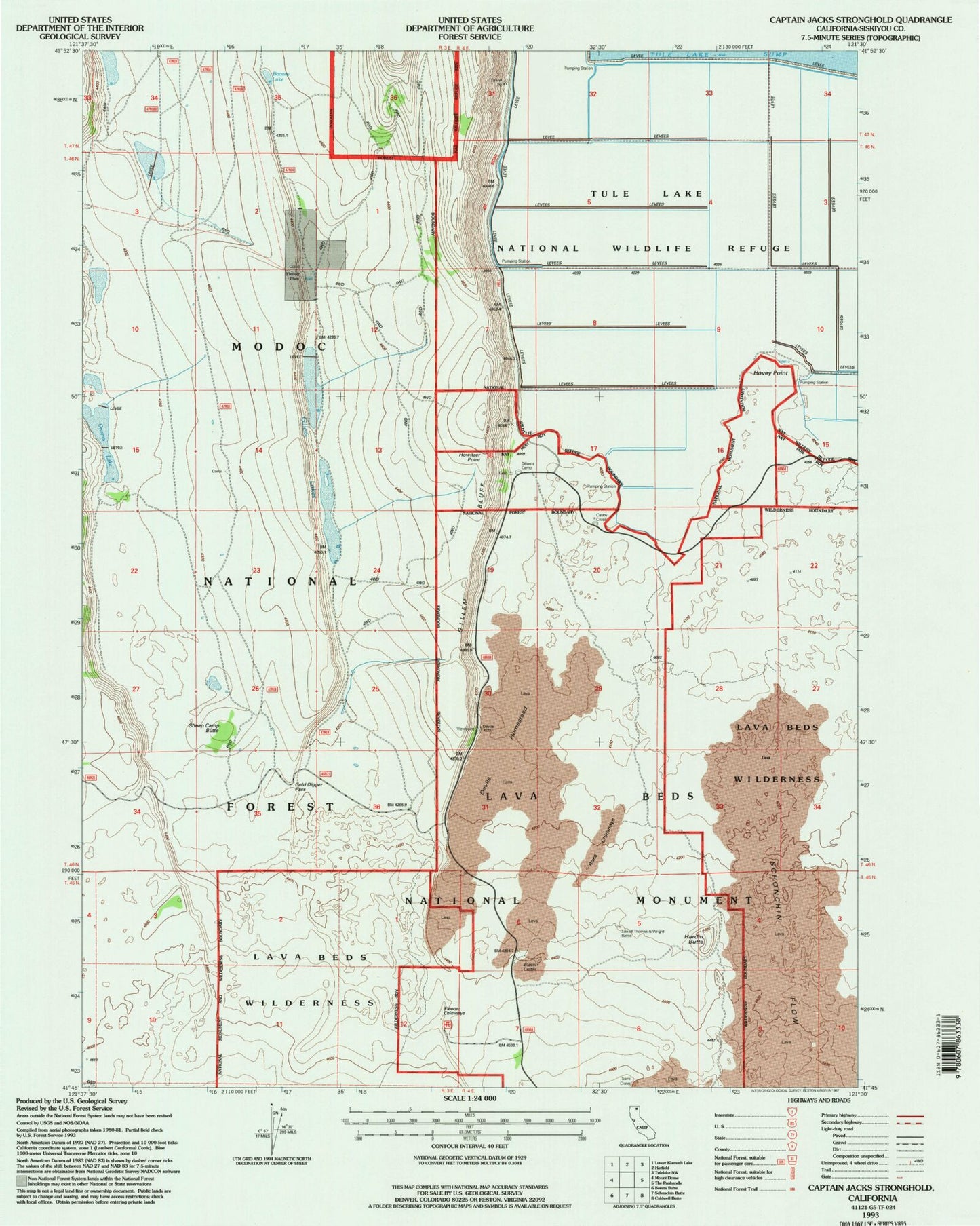
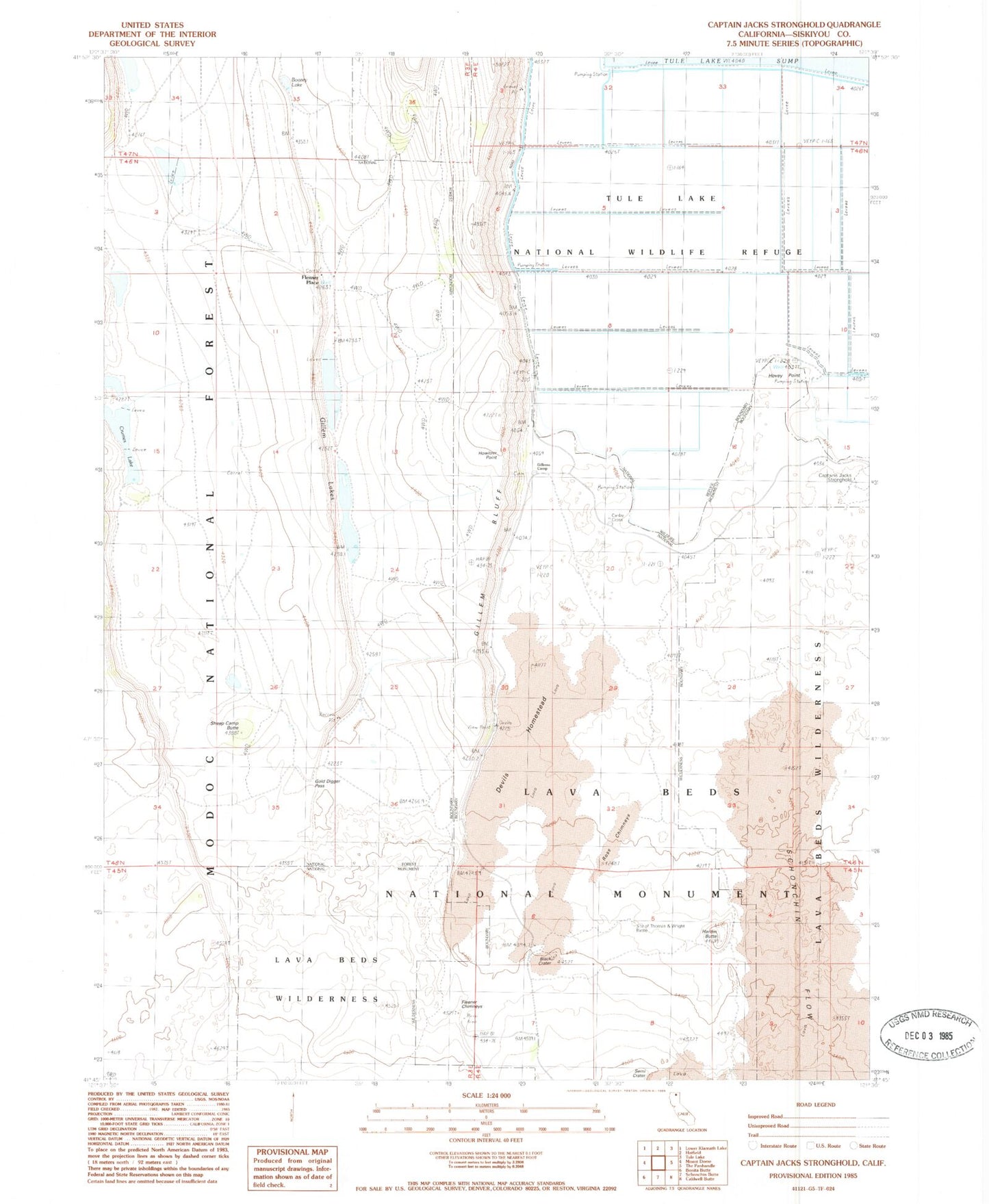
Classic USGS Captain Jacks Stronghold California 7.5'x7.5' Topo Map
Couldn't load pickup availability
Historical USGS topographic quad map of Captain Jacks Stronghold in the state of California. Map scale may vary for some years, but is generally around 1:24,000. Print size is approximately 24" x 27"
This quadrangle is in the following counties: Siskiyou.
The map contains contour lines, roads, rivers, towns, and lakes. Printed on high-quality waterproof paper with UV fade-resistant inks, and shipped rolled.
Contains the following named places: Black Crater, Boozey Lake, Canby Bay, Canby Cross, Captain Jacks Stronghold, Clinton Draw, Cranston Knob, Crumes Lake, Devils Homestead, Dragons Mouth, Fleener Chimneys, Fleener Place, Forbidden Arch, Gillem Bluff, Gillem Bluff Trail, Gillem Lakes, Gillems Camp, Gillems Graveyard, Gold Digge Pass, Hardin Butte, Harris Knoll, Hovey Point, Howe Point, Howitzer Point, Lava Beds National Monument, Lava Beds Wilderness, Peninsula Bay, Roemer Ridge, Ross Chimneys, Ross Flow, Schonchin Flow, Semig Basin, Sheep Camp Butte, Site of Thomas and Wright Battle, The Thumb of the Glove, Thomas Hill, Tulelake Division, Wright Ridge


