MyTopo
Classic USGS Caraway Arkansas 7.5'x7.5' Topo Map
Couldn't load pickup availability
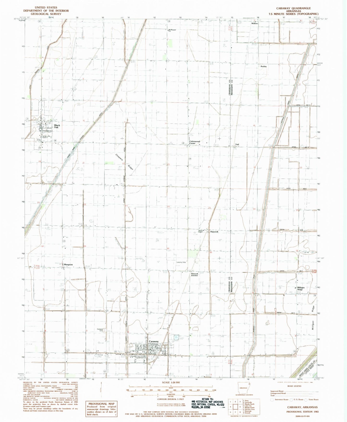
Historical USGS topographic quad map of Caraway in the state of Arkansas. Map scale may vary for some years, but is generally around 1:24,000. Print size is approximately 24" x 27"
This quadrangle is in the following counties: Craighead, Mississippi.
The map contains contour lines, roads, rivers, towns, and lakes. Printed on high-quality waterproof paper with UV fade-resistant inks, and shipped rolled.
Contains the following named places: Asher Ditch, Black Oak, Black Oak Post Office, Black Oak Ridge, Black Oak School, Black Oak Volunteer Fire Department, Caraway, Caraway Cemetery, Caraway Police Department, Caraway Post Office, Caraway Volunteer Ambulance Service, Caraway Volunteer Fire Department, Chicago Mill, City of Caraway, Cockle Burr Slough Ditch, Coopers Ridge, Cottonwood Corner, Ditch Number 5, Ditch Number 6, Hancock, Hancock Junction, Hancock School, Hickman Airport, Honey Cypress Ditch Number 4, Little Slough Ditch, Mangrum, Mangrum School, Milligan Ridge, Milligan Ridge Church, Milligan Ridge School, Mount Pleasant Church, Mulligans Camp, Riverside East Elementary School, Riverside Junior High School, Rokey, Rowes Chapel Baptist Church, Swift Point Overflow, Town of Black Oak, Township of Black Oak, Upper Mangrum School, Vail, Wallace School, Walters, ZIP Code: 72414