MyTopo
Classic USGS Carbon Springs New Mexico 7.5'x7.5' Topo Map
Regular price
$16.95
Regular price
Sale price
$16.95
Unit price
per
Couldn't load pickup availability
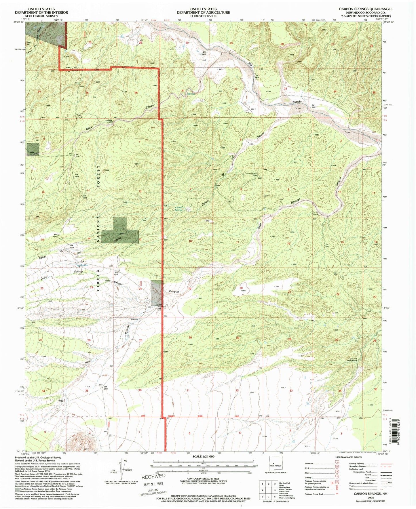
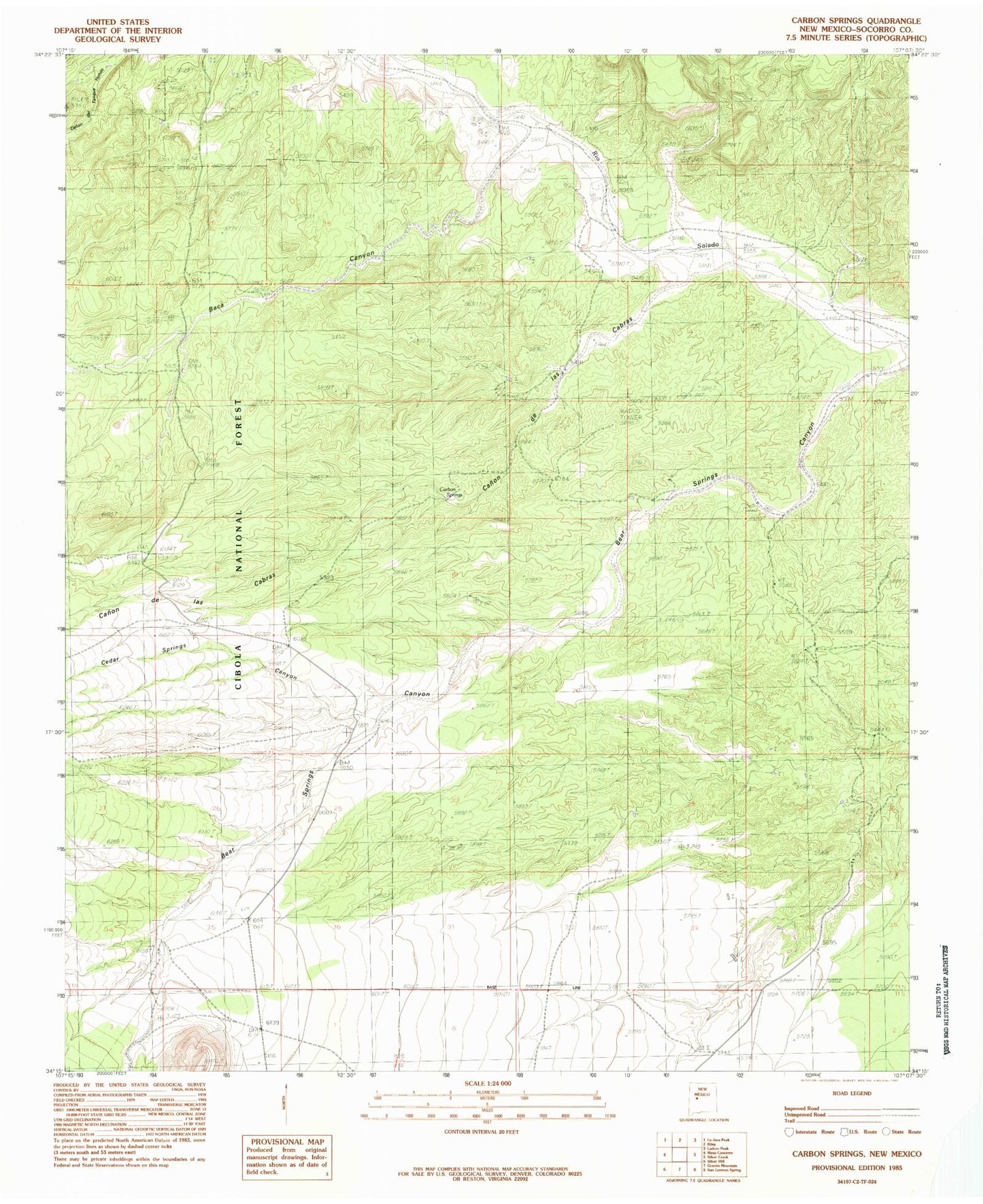
Historical USGS topographic quad map of Carbon Springs in the state of New Mexico. Map scale may vary for some years, but is generally around 1:24,000. Print size is approximately 24" x 27"
This quadrangle is in the following counties: Socorro.
The map contains contour lines, roads, rivers, towns, and lakes. Printed on high-quality waterproof paper with UV fade-resistant inks, and shipped rolled.
Contains the following named places: Baca, Baca Canyon, Baca Spring, Boulder Tank, Canon de las Cabras, Canon del Tanque Hondo, Carbon Springs, Cedar Springs Canyon, East Mill, East New Mill, Gray and Ligon Ranch, Green, New Mill