MyTopo
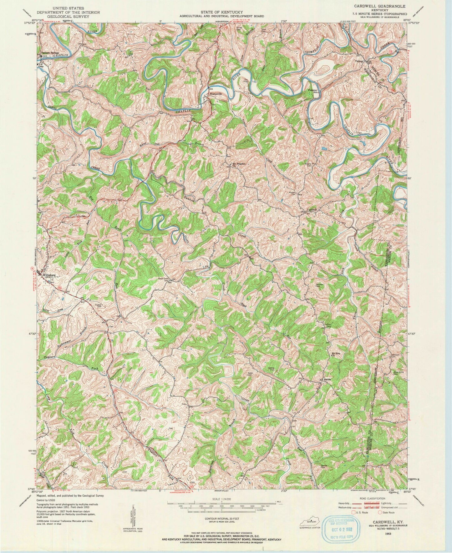
Classic USGS Cardwell Kentucky 7.5'x7.5' Topo Map
Couldn't load pickup availability
Historical USGS topographic quad map of Cardwell in the state of Kentucky. Map scale may vary for some years, but is generally around 1:24,000. Print size is approximately 24" x 27"
This quadrangle is in the following counties: Mercer, Washington.
The map contains contour lines, roads, rivers, towns, and lakes. Printed on high-quality waterproof paper with UV fade-resistant inks, and shipped rolled.
Contains the following named places: Adkinson Cemetery, Altamont Farm, Baker Cemetery, Barnes Cemetery, Battle, Battle Baptist Church, Battle Post Office, Bethel Baptist Cemetery, Big Rock Run, Bluegrass Branch, Caney Branch, Cardwell, Cardwell Post Office, Cardwell School, Careys Island, Careys Tunnel Mill, City of Willisburg, Corn Branch, Danbow Creek, Darling Cemetery, Dorsey Cemetery, Durr Branch, Durr Hill, East Fork Glens Creek, Glens Creek Cemetery, Glens Creek Church, Gum Lick, Hickory Grove, Hoehammer Branch, Little Rock Run, Masters Cemetery, Mount Freedom Church, Mount Olivet Baptist Church, Mount Zion Church, Perkins Cemetery, Pinkston School, Plum Run, Prather Cemetery, Robert Worth Bingham Memorial Four H Camp, Rose Grove Cemetery, Royalty Cemetery, Rush Run, Salzman Cemetery, Sea Cemetery, Sharps Mill, Sharpsville, Sharpsville Covered Bridge, Sharpsville Post Office, Stine Cemetery, Tablow, Tatham Springs, Tatham Springs Hill, Tatham Springs Hotel and Health Resort, Thompson Creek, Three Lick Creek, Traces Creek, White Oak Branch, Willisburg Fire Department, Willisburg Post Office, ZIP Code: 40040


