MyTopo
Classic USGS Cardwell Missouri 7.5'x7.5' Topo Map
Couldn't load pickup availability
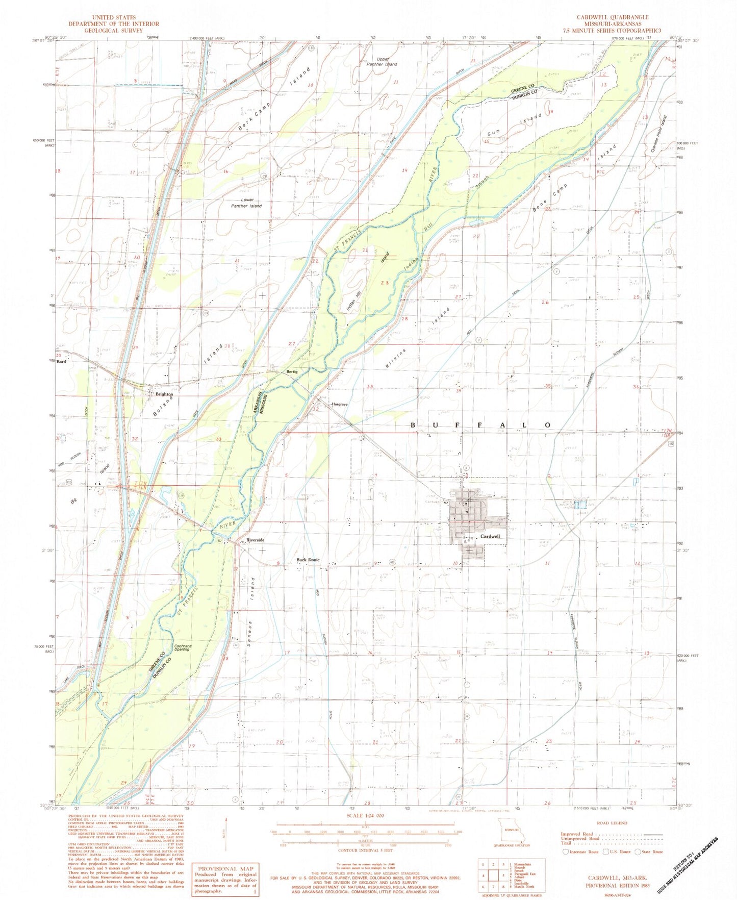
Historical USGS topographic quad map of Cardwell in the states of Missouri, Arkansas. Map scale may vary for some years, but is generally around 1:24,000. Print size is approximately 24" x 27"
This quadrangle is in the following counties: Dunklin, Greene.
The map contains contour lines, roads, rivers, towns, and lakes. Printed on high-quality waterproof paper with UV fade-resistant inks, and shipped rolled.
Contains the following named places: Alexander Baptist Church, Alexander School, Antioch Church, Antioch School, Bard School, Bark Camp Island, Bertig, Bertig Cemetery, Big Island, Bishop School, Boland Island, Bone Camp Island, Bonecamp School, Brighton, Brighton Baptist Church, Buck Donic, Buck Donic School, Cardwell, Cardwell Cemetery, Cardwell Police Department, Cardwell Post Office, Cardwell Volunteer Fire Department, City of Cardwell, Cochrans Opening, Cockrum, Cockrum Cemetery, Cockrum Church, Cockrum School, Forest Grove Church, Gum Island, Hargrove, Hog Air Aviation Inc Airport, Hopkins Bridge, Indian Hill Island, Indian Hill Slough, Kinnemore Slough Ditch, Lake Ditch, Lateral Number 2, Lateral Number 3, Lower Panther Island, Missouri Ditch Number 4, Mud Slough Ditch, Red Devil Ditch, Riverside, Seneca Island, Seneca Slough, Stout Spur, Township of Buffalo, Township of Lake, Upper Panther Island, Walls Chapel, Walls Chapel School, Wilkins Island, ZIP Code: 63829