MyTopo
Classic USGS Carey Texas 7.5'x7.5' Topo Map
Couldn't load pickup availability
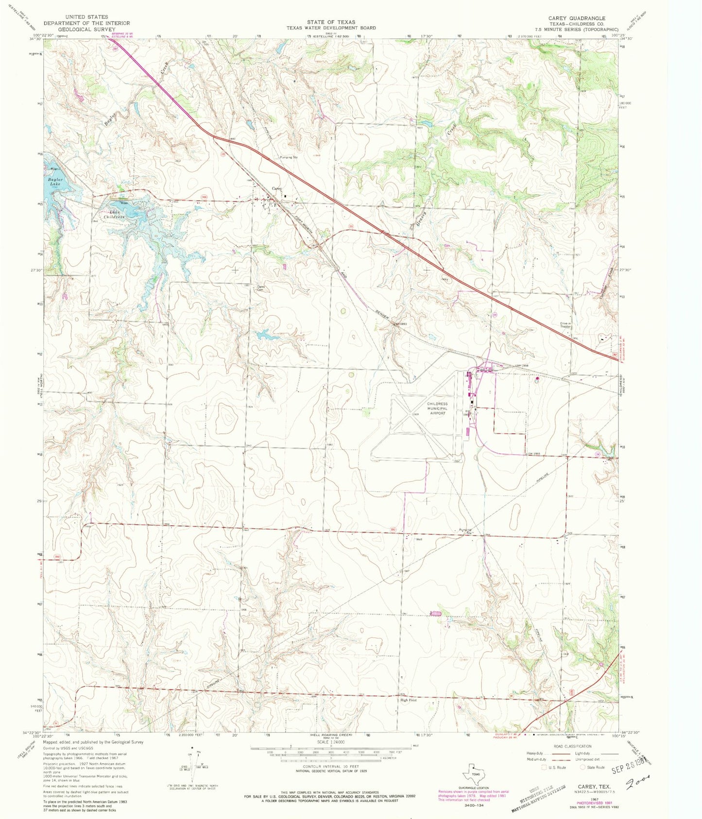
Historical USGS topographic quad map of Carey in the state of Texas. Map scale may vary for some years, but is generally around 1:24,000. Print size is approximately 24" x 27"
This quadrangle is in the following counties: Childress.
The map contains contour lines, roads, rivers, towns, and lakes. Printed on high-quality waterproof paper with UV fade-resistant inks, and shipped rolled.
Contains the following named places: Baylor Lake, Baylor Lake Dam, Carey, Carey Cemetery, Childress Army Air Field, Childress Municipal Airport, City of Childress, High Point, Lake Childress, Lake Childress Dam, Texas Department of Criminal Justice T L Roach Unit, Texas No Name Number 23 Dam, Williams Dam, Williams Reservoir, ZIP Code: 79201