MyTopo
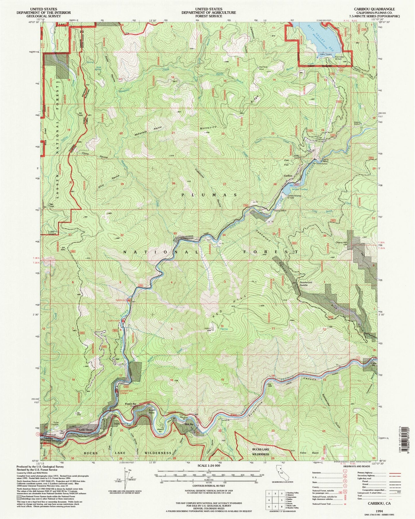
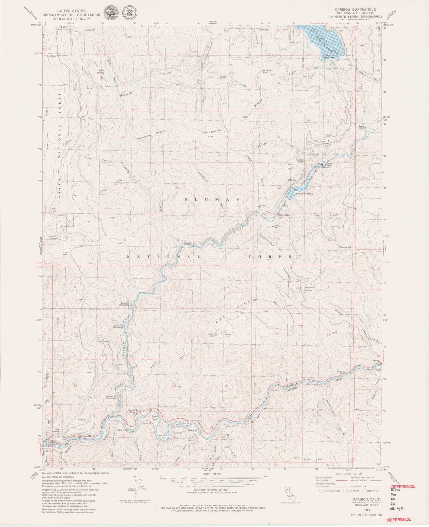
Classic USGS Caribou California 7.5'x7.5' Topo Map
Couldn't load pickup availability
Historical USGS topographic quad map of Caribou in the state of California. Map scale may vary for some years, but is generally around 1:24,000. Print size is approximately 24" x 27"
This quadrangle is in the following counties: Plumas.
The map contains contour lines, roads, rivers, towns, and lakes. Printed on high-quality waterproof paper with UV fade-resistant inks, and shipped rolled.
Contains the following named places: Belden, Belden Campground, Belden Forebay, Belden Ravine, Benner Creek, Bey Cha Creek, Butt Creek, Butt Lake Cemetery, Butt Valley 93 Dam, Caribou, Caribou Afterbay 97-120 Dam, Caribou Census Designated Place, Cherry Hill, China Ravine, Clear Creek, Cold Brook Creek, Cold Spring Ravine, Cottonwood Creek, Crablouse Ravine, Deadwood Canyon, Deadwood Saddle, Deer Creek, East Branch North Fork Feather River, Fales Basin, Feather River Canyon Division, Fern Canyon, French Bar, French Creek, French Ravine, Gansner Bar Campground, Gansner Bar Forest Service Facility, Haven, Indian Bar, Kellogg Ravine, McFarlane Ravine, Middle Branch Mosquito Creek, Middle Campsite, Mill Creek, Missouri Bar, Mosquito Creek, Mosquito Ridge, North Branch Mosquito Creek, North Fork Campground, Oak Flat, Oak Ravine, Owl Creek, Pea Soup Bar, Poverty Bar, Queen Lily Campground, Rattlesnake Gulch, Red Hill, Red Rock Mine, Rich Bar, Serpentine Canyon, Silva Ravine, Smith Point, Smiths Bar, Soda Ravine, Soda Spring, South Branch Mosquito Creek, Squirrel Creek, Tunnel Twenty Five, Tunnel Twenty Four, Tunnel Twenty Three, Twelve Mile Bar, Waller Creek, ZIP Code: 95915