MyTopo
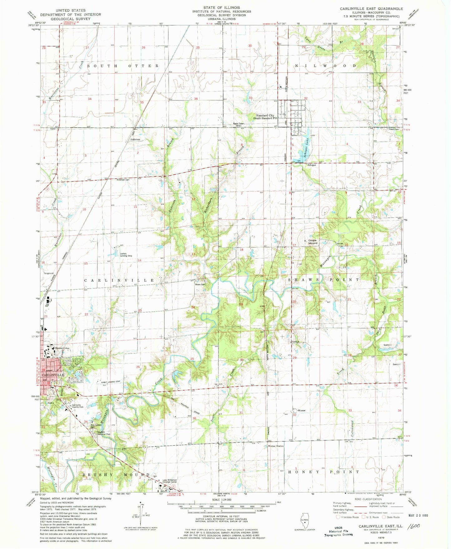
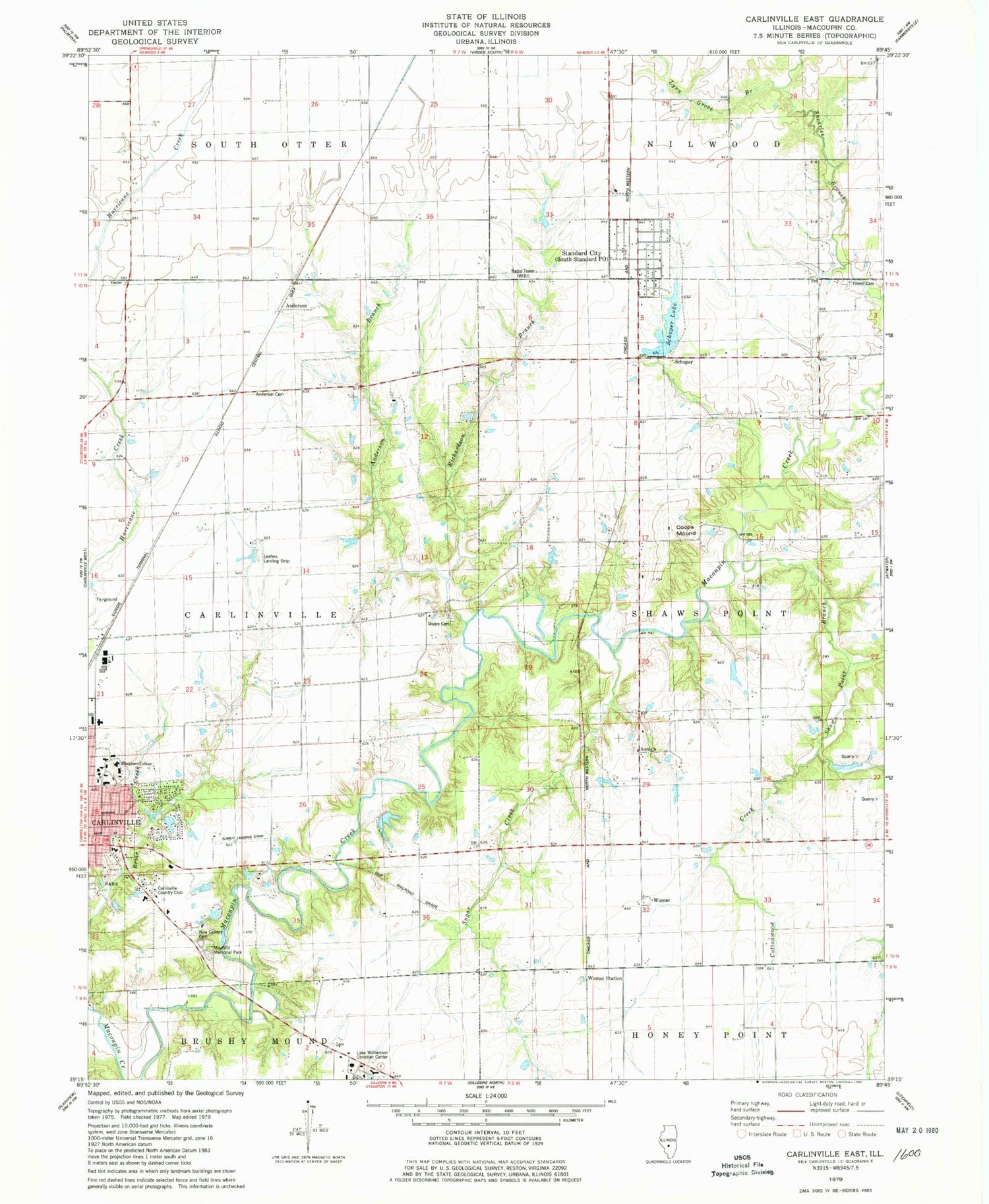
Classic USGS Carlinville East Illinois 7.5'x7.5' Topo Map
Couldn't load pickup availability
Historical USGS topographic quad map of Carlinville East in the state of Illinois. Map scale may vary for some years, but is generally around 1:24,000. Print size is approximately 24" x 27"
This quadrangle is in the following counties: Macoupin.
The map contains contour lines, roads, rivers, towns, and lakes. Printed on high-quality waterproof paper with UV fade-resistant inks, and shipped rolled.
Contains the following named places: Anderson, Anderson Branch, Anderson Cemetery, Anderson School, Anderson Student Center, Austiff Pond, Austiff Pond Dam, Blackburn University, Bothwell Conservatory of Music, Brick School, Burridge D Butler Hall, Burton School, Carlinville Area Hospital Heliport, Carlinville Country Club, Centerview School, Challacombe Hall, Clegg Chapel, Coops Mound, Cottonwood Creek, Davis Cemetery, Dawes Physical Education Center, Demuzio Campus Center, Denbys Pond, Denbys Pond Dam, Gore School, Graham Hall, Gray Family Cemetery, Hudson Hall, Jewell Hall, Jones Allison Hall, Kasten School, Klimut Landing Strip, Lake Williamson Christian Center, Leefers Landing Strip, Ludlum Hall, Lumpkin Library, Lynn Grove Branch, Lynn Grove School, Macoupin County Fairground, Mayfield Memorial Park Cemetery, Moore Cemetery, New Calvary Cemetery, Oakland School, Olin Science Building, Pleasant Point School, Prairie Chapel School, Rahme Learning Center, Renner Art Center, Richardson Branch, Robley School, Rural Church, Rural Methodist Cemetery, Rural School, Schoper, Schoper Lake, Shaw Point Branch, Standard City, Standard City Lake, Standard City Lake Dam, Stoddard Hall, Sugar Creek, Township of Carlinville, Township of Shaws Point, Village of Standard City, WIBI-FM (Carlinville), Womac, Womac Station, Yowell Cemetery, Zion Cemetery


