
MyTopo
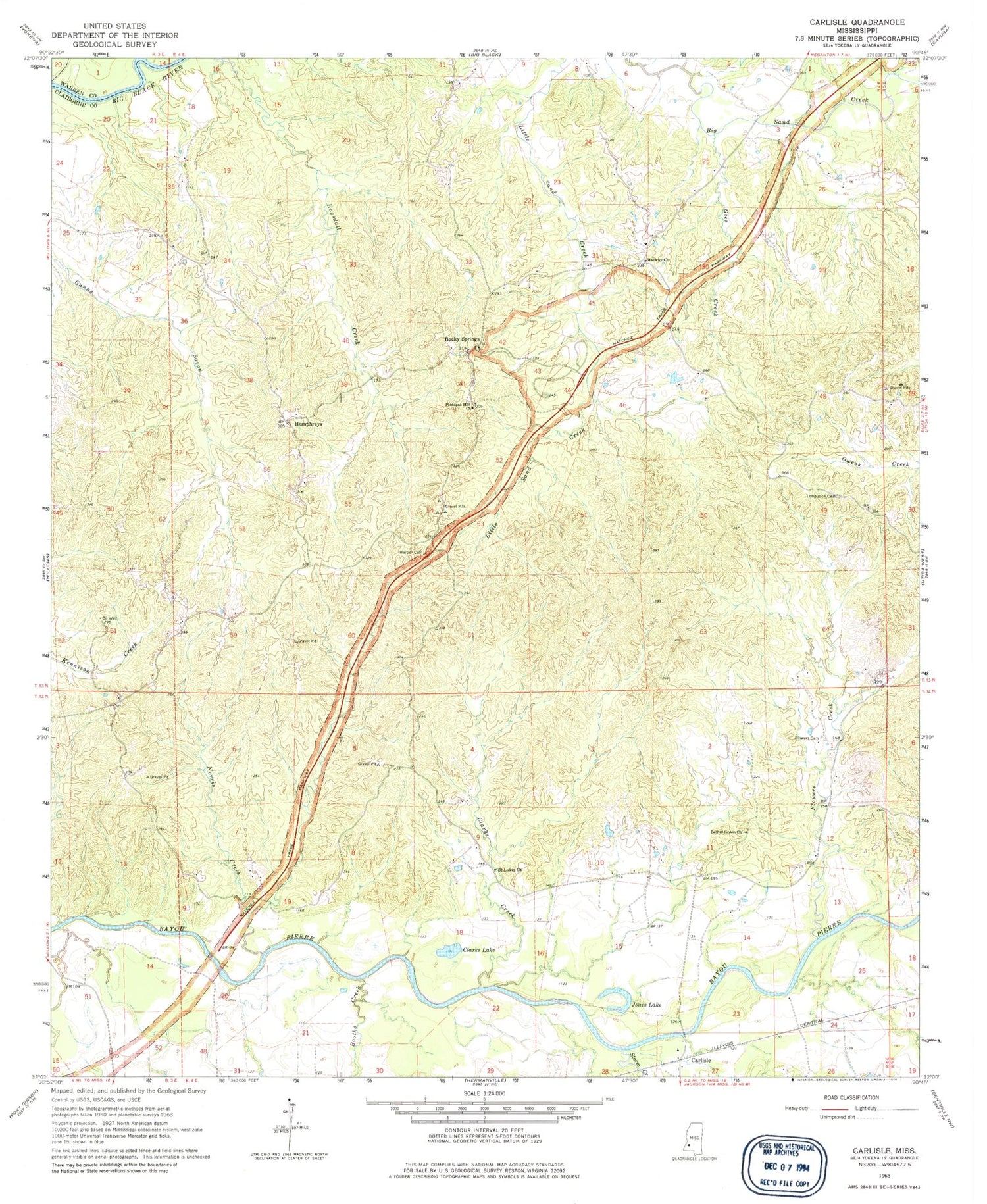
Classic USGS Carlisle Mississippi 7.5'x7.5' Topo Map
Couldn't load pickup availability
Historical USGS topographic quad map of Carlisle in the state of Mississippi. Typical map scale is 1:24,000, but may vary for certain years, if available. Print size: 24" x 27"
This quadrangle is in the following counties: Claiborne, Warren.
The map contains contour lines, roads, rivers, towns, and lakes. Printed on high-quality waterproof paper with UV fade-resistant inks, and shipped rolled.
Contains the following named places: Bethel Green Church, Booths Creek, Clarks Creek, Clarks Lake, Flowers Cemetery, Flowers Creek, Gees Creek, Harper Cemetery, Jones Lake, Midway Church, Norris Creek, Pleasant Hill Church, Saint Lukes Church, Storm Creek, Templeton Cemetery, Clarks Lake Dam, Borenfield School (historical), Lake School (historical), Midway School (historical), Ross School (historical), Saint Luke School (historical), Scutchillo Hills, Carlisle, Humphreys, Rocky Springs, Belvidere Plantation (historical), Hermitage Plantation (historical), Hopewell Plantation (historical), Rocky Springs Cemetery, Rocky Springs Methodist Church, Rose Arbor Plantation (historical), Vernalia Plantation (historical), Supervisor District 3, Claiborne County Fire Department Station 3, Valley of the Moon Airport


