MyTopo
Classic USGS Carlowville Alabama 7.5'x7.5' Topo Map
Couldn't load pickup availability
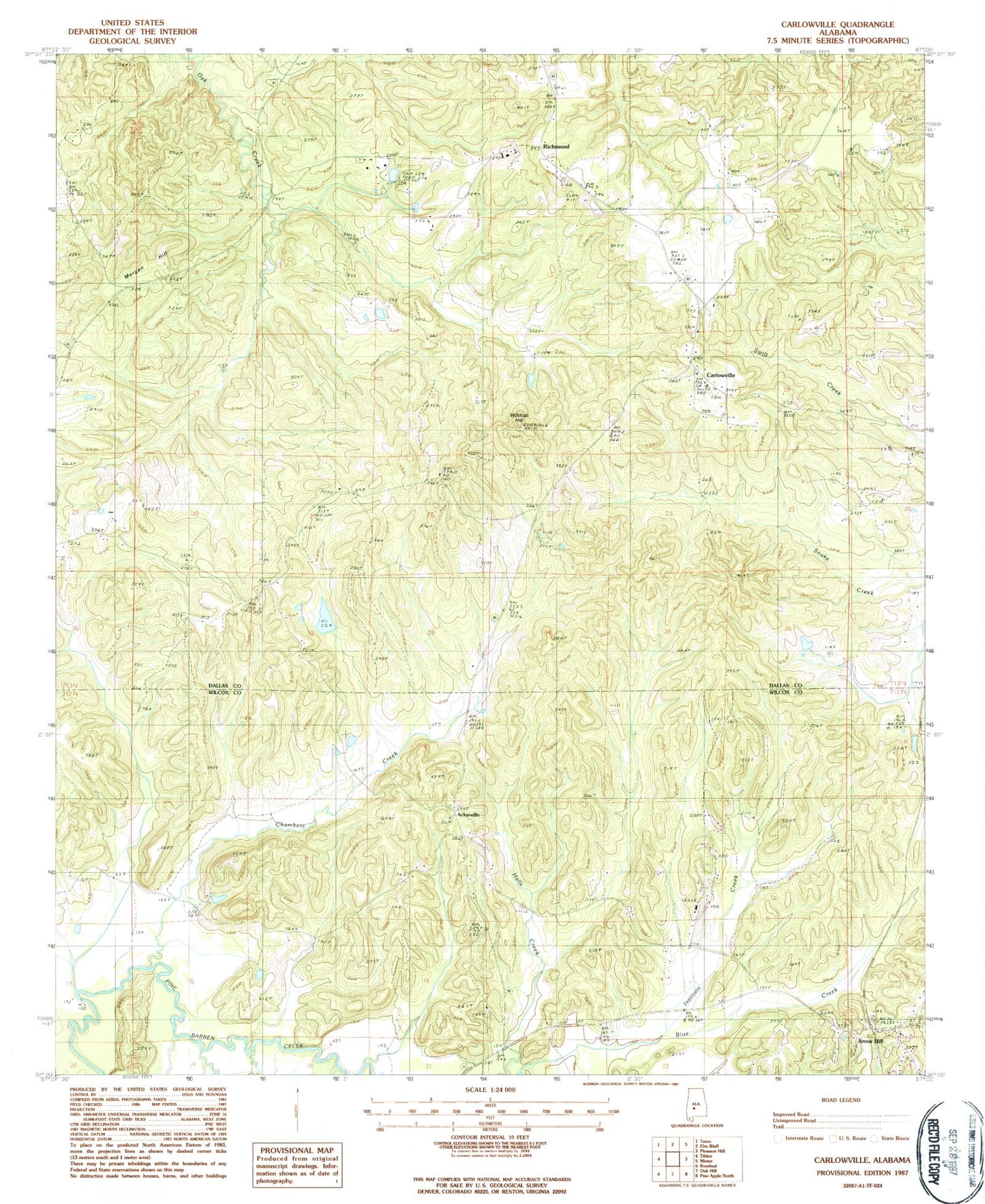
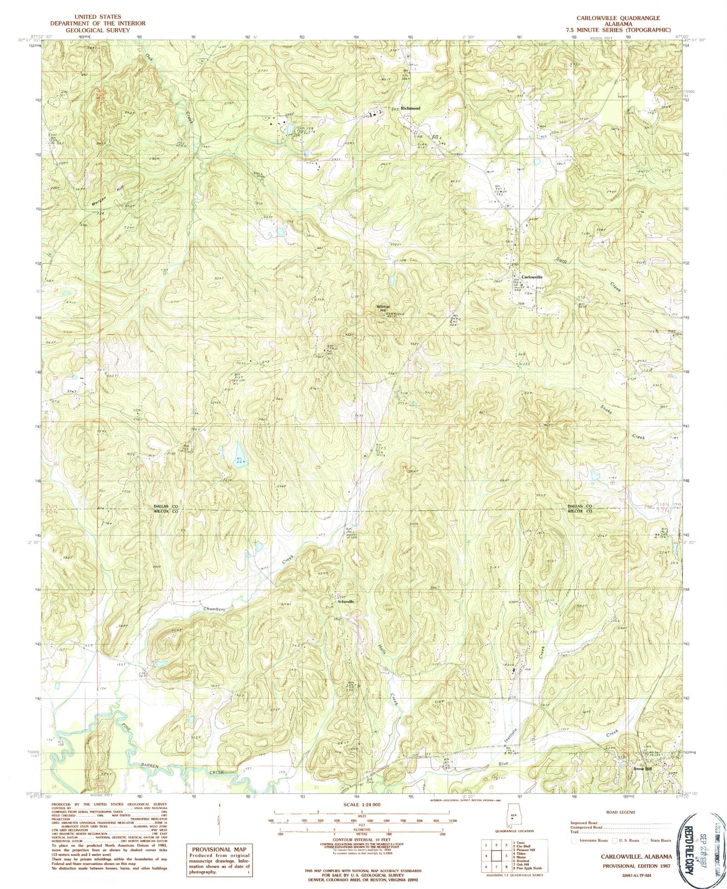
Historical USGS topographic quad map of Carlowville in the state of Alabama. Map scale may vary for some years, but is generally around 1:24,000. Print size is approximately 24" x 27"
This quadrangle is in the following counties: Dallas, Wilcox.
The map contains contour lines, roads, rivers, towns, and lakes. Printed on high-quality waterproof paper with UV fade-resistant inks, and shipped rolled.
Contains the following named places: Ackerville, Ackerville Church, Alabama Sheriffs Boys Ranch, Annemanie School, Antioch Church, Boy's Ranch Airport, Canaan, Carlowville, Carlowville Church, Carlowville Community Cemetery, Carlowville Historic District, Carlowville Volunteer Fire Department, Chambers Creek, Ebe County Line Church, Grays Landing, Hopewell Church, Hopewell School, Institute Creek, Morgan Hill, Mount Nebo Church, Peoples Chapel, Pleasant Church, Prairie Creek, Richmond, Saint Paul Church, Saint Pauls Cemetery, Saint Pauls Church, Saint Peter Church, Snow Hill, Snow Hill Institute, Wildcat Hill