MyTopo
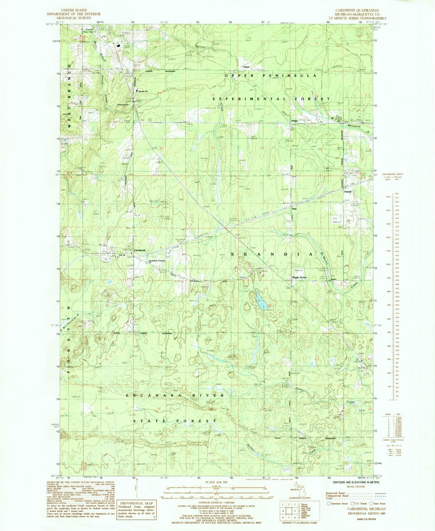
Classic USGS Carlshend Michigan 7.5'x7.5' Topo Map
Couldn't load pickup availability
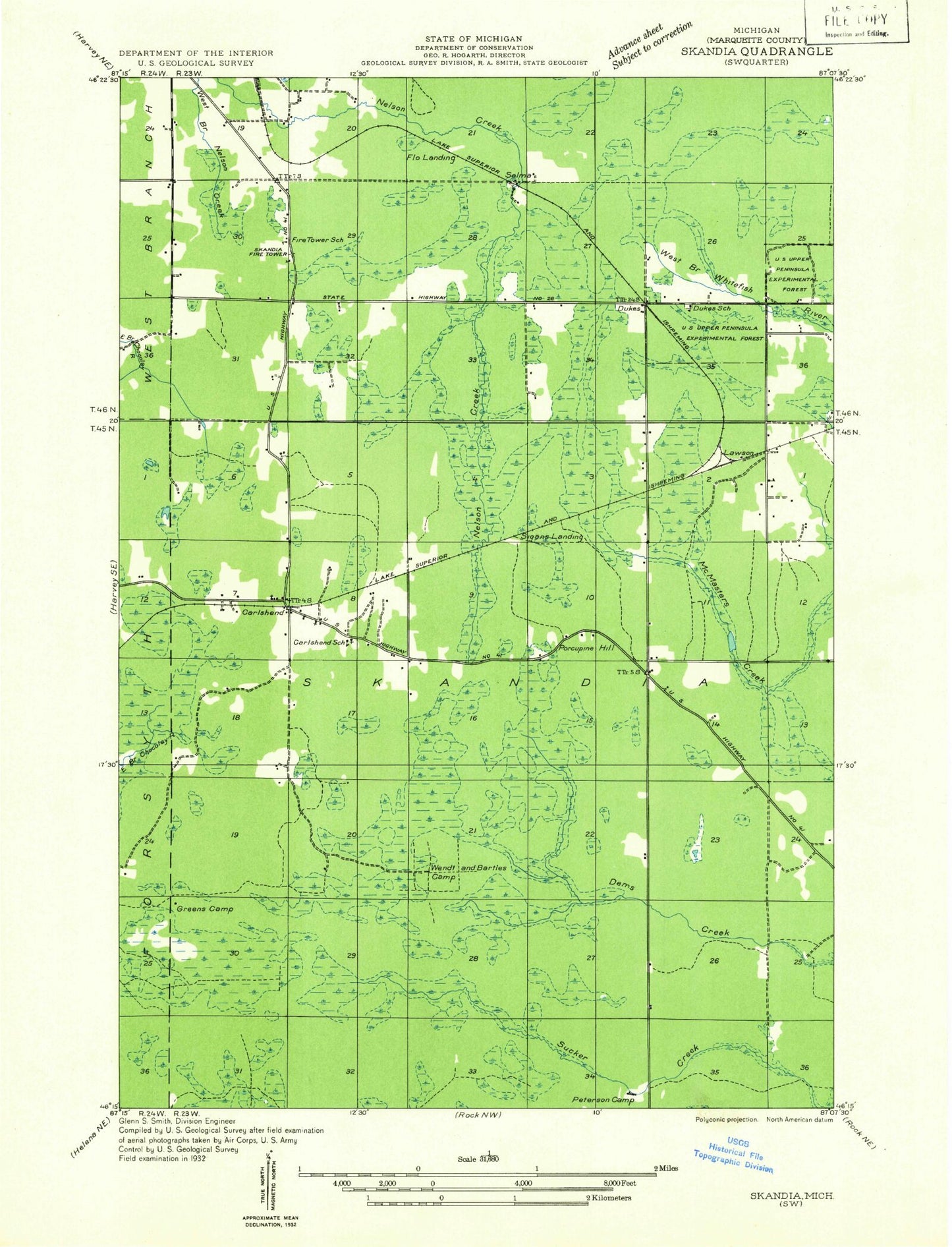
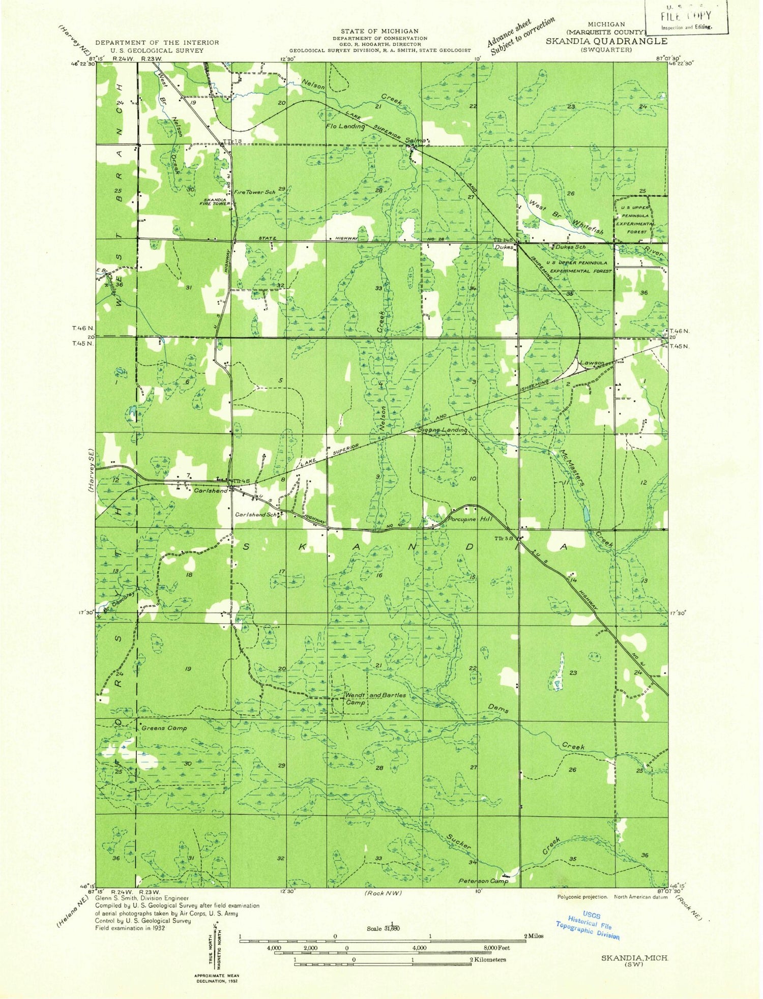
Historical USGS topographic quad map of Carlshend in the state of Michigan. Map scale may vary for some years, but is generally around 1:24,000. Print size is approximately 24" x 27"
This quadrangle is in the following counties: Marquette.
The map contains contour lines, roads, rivers, towns, and lakes. Printed on high-quality waterproof paper with UV fade-resistant inks, and shipped rolled.
Contains the following named places: Carlshend, Carlshend Post Office, Carlshend Station, Dukes, Dukes Lookout Tower, Dukes Post Office, Dukes Station, Emmanuel Church, Emmanuel Lutheran Church Cemetery, Evangelical Covenant Church, Heritage Baptist Church, Hogstrom Post Office, Hogstrom Station, Lawson, Maple Grove, Selma, Skandia Lookout Tower, Skandia School, Skandia West Side Park, Township of Skandia, Upper Peninsula Experimental Forest, Upper Peninsula Experimental Forest Headquarters, Vick, ZIP Code: 49885