MyTopo
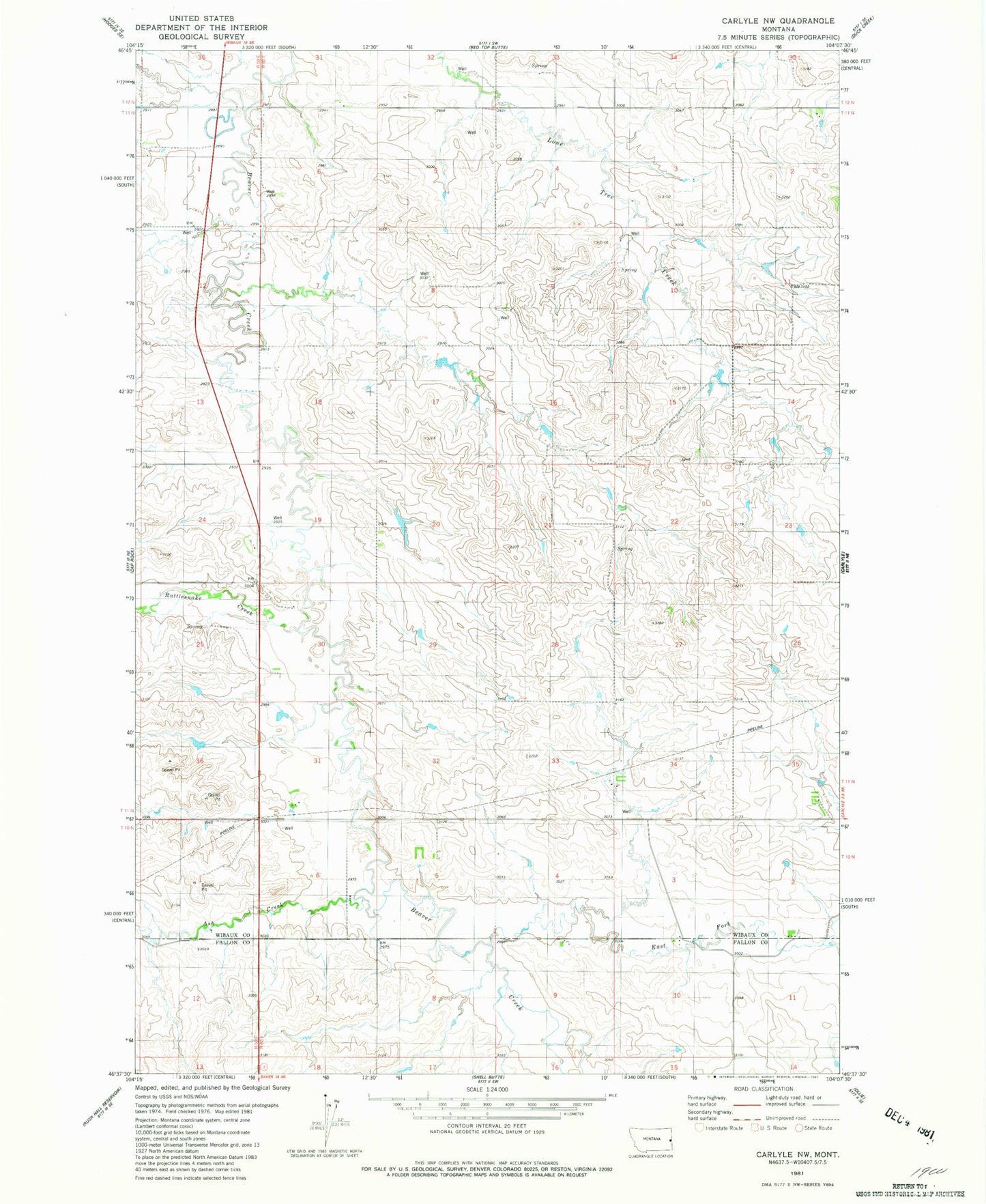
Classic USGS Carlyle NW Montana 7.5'x7.5' Topo Map
Regular price
$16.95
Regular price
Sale price
$16.95
Unit price
per
Couldn't load pickup availability
Historical USGS topographic quad map of Carlyle NW in the state of Montana. Map scale may vary for some years, but is generally around 1:24,000. Print size is approximately 24" x 27"
This quadrangle is in the following counties: Fallon, Wibaux.
The map contains contour lines, roads, rivers, towns, and lakes. Printed on high-quality waterproof paper with UV fade-resistant inks, and shipped rolled.
Contains the following named places: 11N60E30CCB_01 Well, Ash Creek, Dennis Post Office, Dennis School, East Fork Beaver Creek, Edgehill School, Lone Tree School, Lutts School, Muggah School, Nelson School, Olson School, Rattlesnake Creek