MyTopo
Classic USGS Carlyle Illinois 7.5'x7.5' Topo Map
Couldn't load pickup availability
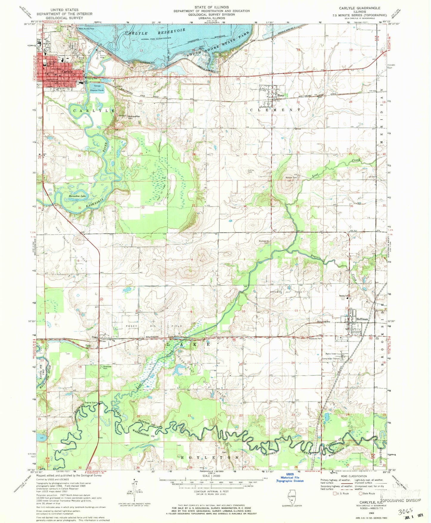
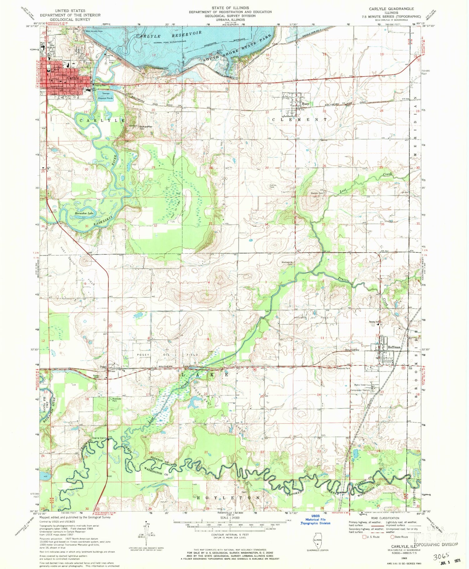
Historical USGS topographic quad map of Carlyle in the state of Illinois. Map scale may vary for some years, but is generally around 1:24,000. Print size is approximately 24" x 27"
This quadrangle is in the following counties: Clinton, Washington.
The map contains contour lines, roads, rivers, towns, and lakes. Printed on high-quality waterproof paper with UV fade-resistant inks, and shipped rolled.
Contains the following named places: Ash Lake, Blue Bell Picnic Area, Carlyle, Carlyle Cemetery, Carlyle Dam, Carlyle Elementary School, Carlyle Fire Protection District, Carlyle High School, Carlyle Police Department, Carlyle Post Office, Case-Halstead Public Library, Central School, Chipmunk Trail, City of Carlyle, Clinton County Courthouse, Clinton County Sheriff's Office, Collins Cemetery, Collins School, Corcoran Hill, East Access Area, First United Methodist Church, General Dean Bridge, Greene Meadow Picnic Area, Hoffman, Hoffman Fire Protection District, Hoffman Oil Field, Hoffman Post Office, Horseshoe Lake, Huey, Huey - Ferrin - Boulder Fire Protection District, Huey Oil Field, Huey Post Office, Huey South Oil Field, Lake Shore Picnic Area, Litle Prairie Nature Trail, Lost Creek, Lueking Dairy Farm, Matsler Cemetery, Matsler School, MedStar Ambulance, Messiah Lutheran Church, Pine Grove Picnic Area, Posey, Posey Cemetery, Posey East Oil Field, Posey Oil Field, Posey Post Office, Prairie Branch, Prairie Creek, Rose Cemetery, Saddle Dam Number 2, Saint Marys Cemetery, Saint Marys Home for the Aged, Saint Marys Roman Catholic Church, Saint Marys School, Schaeffer Hill, Schneider School, South Shore State Park, Spillway Recreation Area, Township of Carlyle, Township of Clement, Township of Lake, Trinity Lutheran Cemetery, Trinity School, Twenhafel Field, Union School, Village of Hoffman, Village of Huey, Wadsworth Cemetery, ZIP Codes: 62231, 62250


