MyTopo
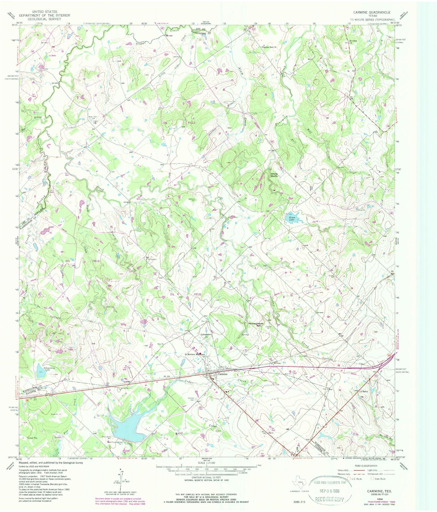
Classic USGS Carmine Texas 7.5'x7.5' Topo Map
Couldn't load pickup availability
Historical USGS topographic quad map of Carmine in the state of Texas. Map scale may vary for some years, but is generally around 1:24,000. Print size is approximately 24" x 27"
This quadrangle is in the following counties: Fayette, Lee, Washington.
The map contains contour lines, roads, rivers, towns, and lakes. Printed on high-quality waterproof paper with UV fade-resistant inks, and shipped rolled.
Contains the following named places: Alligator Creek, Black Creek, Bull Creek, Carmine, Carmine Cemetery, Carmine City Hall, Carmine High School, Carmine Post Office, Carmine Volunteer Fire Department, City of Carmine, Els Lake, Els Lake Dam, Flood Prevention Dam Number 7, Hartstack Cemetery, Hog Branch, Homeymeyer Mountain, Independent Church, La Bahia, Little Cedar Creek, Moye Lake, Moye Lake Dam, Nixon Lake, Nixon Lake Dam, Panther Branch, Pilgrims Rest Church, Saint Johns Church, Saint Matthew Missionary Church, Schoenberg Lake, Soil Conservation Service Site 7 Dam, Soil Conservation Service Site 7 Reservoir, Tracy Creek, Turkey Creek, White Bluffs, White Union Cemetery, Wolf Creek, ZIP Code: 78932