MyTopo
Classic USGS Carolina Alabama 7.5'x7.5' Topo Map
Couldn't load pickup availability
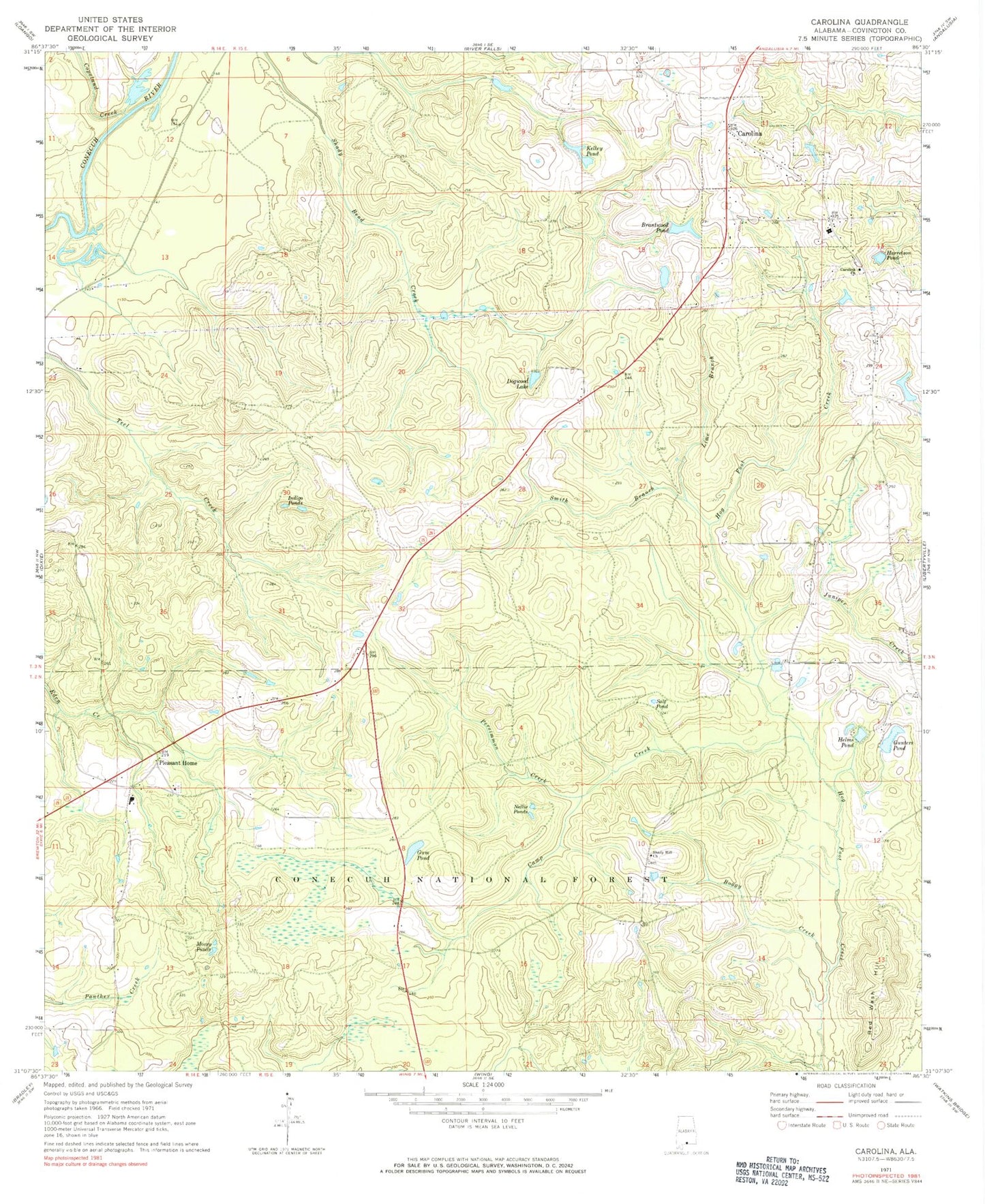
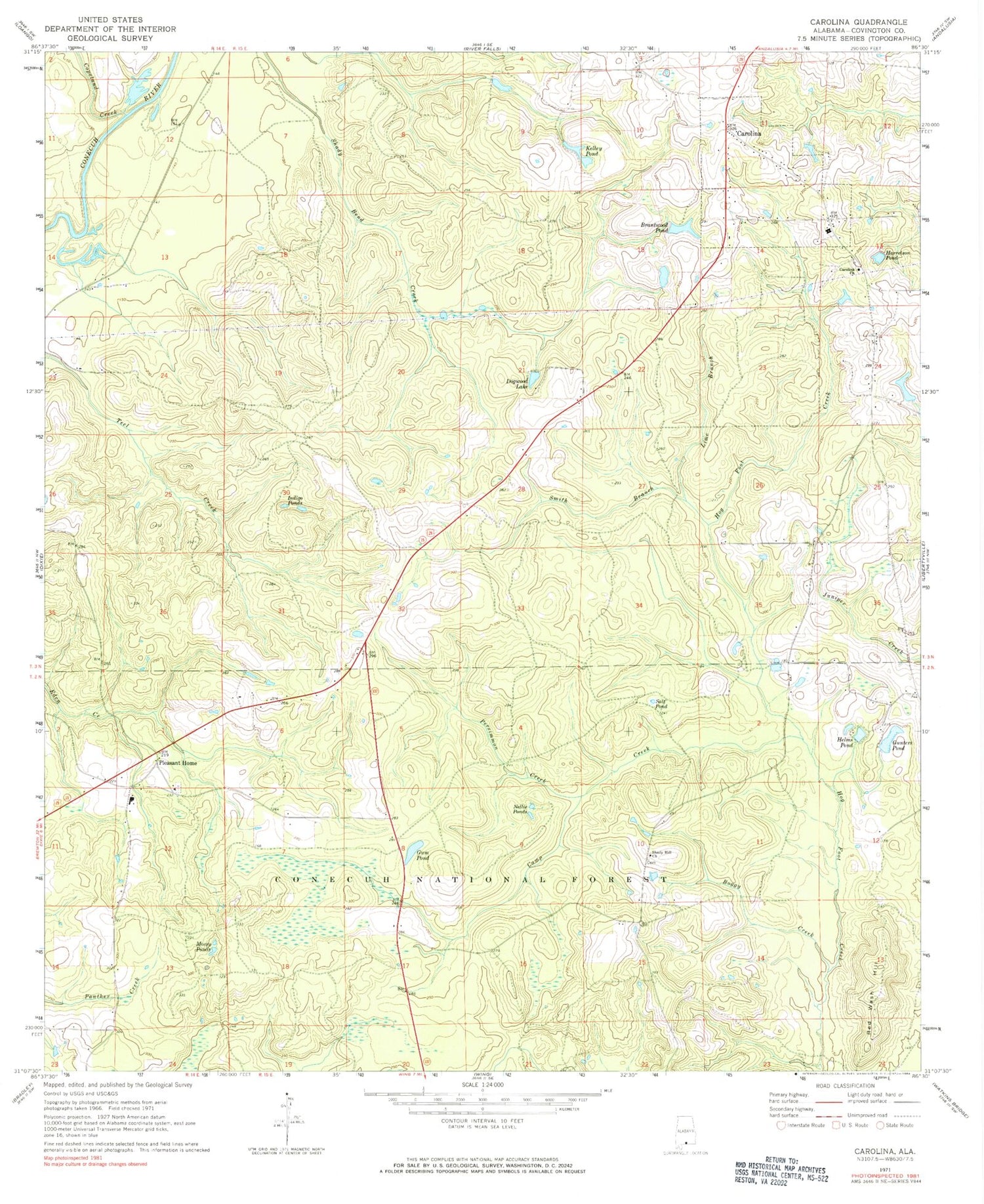
Historical USGS topographic quad map of Carolina in the state of Alabama. Map scale may vary for some years, but is generally around 1:24,000. Print size is approximately 24" x 27"
This quadrangle is in the following counties: Covington.
The map contains contour lines, roads, rivers, towns, and lakes. Printed on high-quality waterproof paper with UV fade-resistant inks, and shipped rolled.
Contains the following named places: B O Gunter Lake Dam, Bass School, Blue Spring Wildlife Management Area, Boggy Creek, Brantwood Pond, Camp Creek, Carolina, Carolina Baptist Church, Carolina Cemetery, Carolina Church, Carolina School, Carolina Volunteer Fire Department, Conecuh Recreation Area, Conecuh River Community, Conecuh Trail, Copeland Creek, Dogwood Lake, George W Proctor Lake Dam, Gum Pond, Gunters Pond, Harrelson Pond, Helms Pond, Indigo Ponds, Kelley Pond, Lime Branch, Mossy Ponds, Nellie Ponds, Persimmon Creek, Pleasant Home, Pleasant Home Church, Pleasant Home High School, Red Wash Hill, Robert Brantley Dam, Salt Pond, Shady Hill Church, Smith Branch, Town of Carolina, Walker School, ZIP Code: 36420


