MyTopo
Classic USGS Caroline Butte South Dakota 7.5'x7.5' Topo Map
Regular price
$16.95
Regular price
Sale price
$16.95
Unit price
per
Couldn't load pickup availability
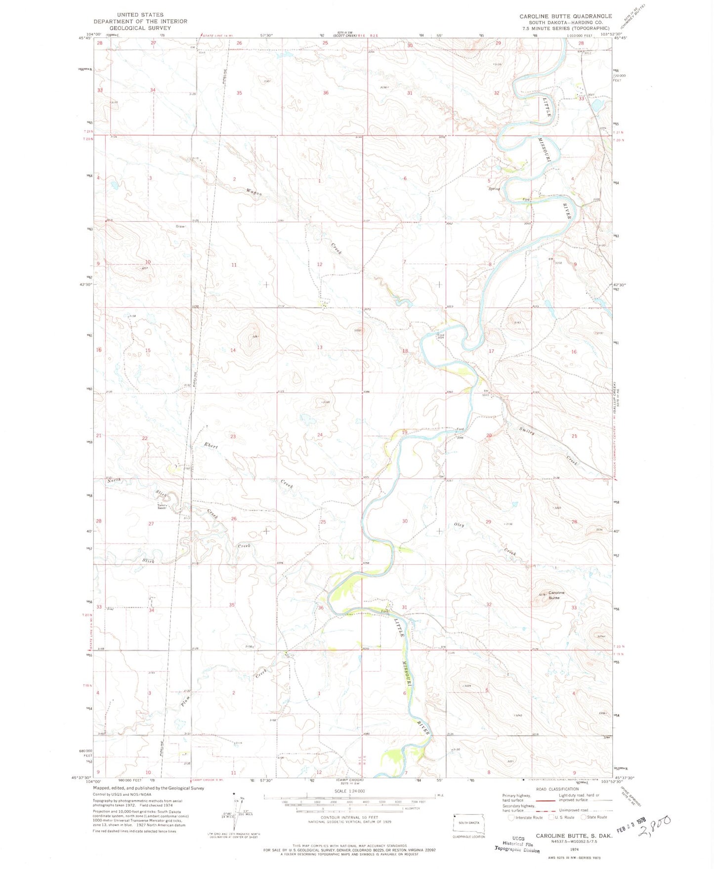
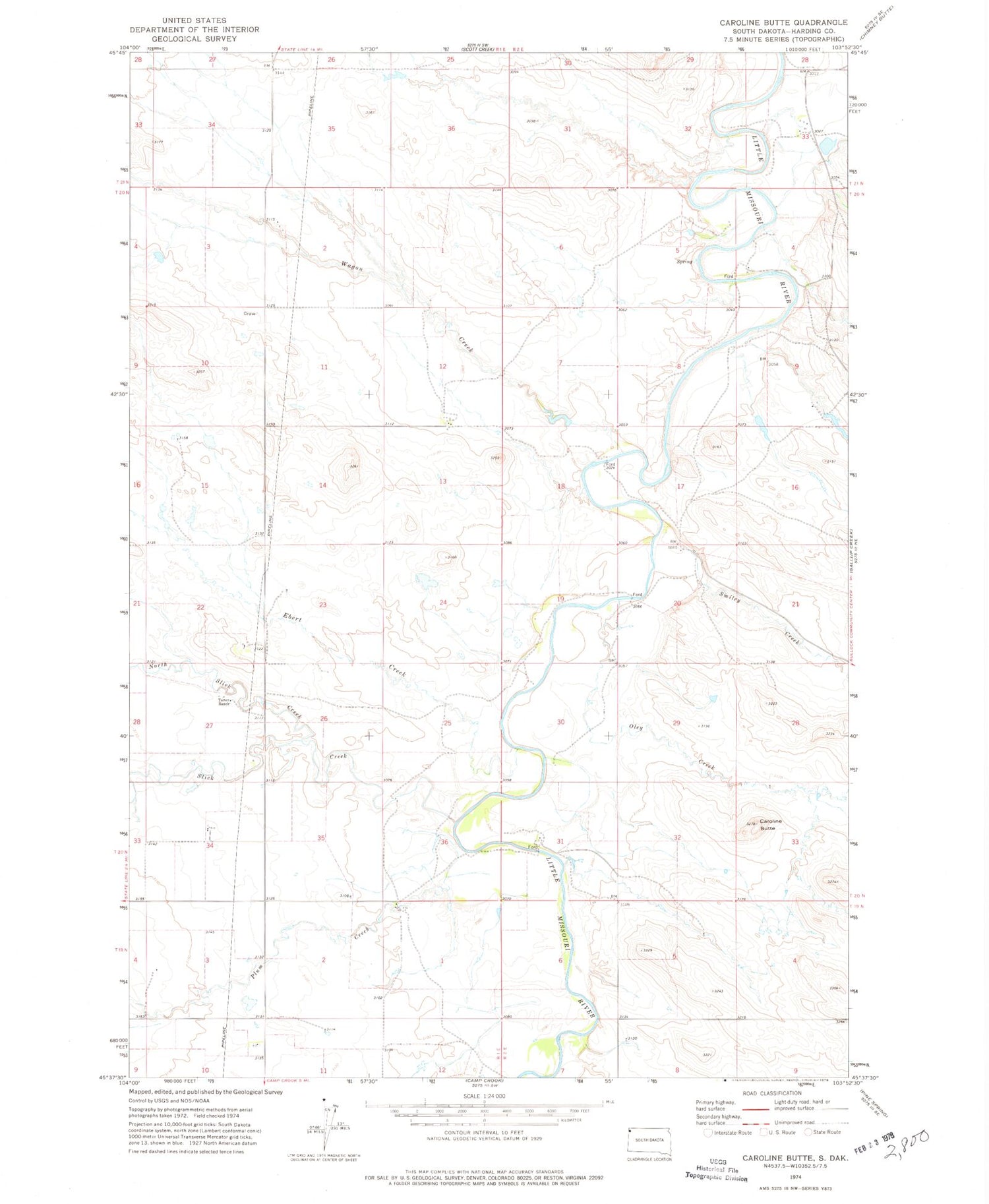
Historical USGS topographic quad map of Caroline Butte in the state of South Dakota. Map scale may vary for some years, but is generally around 1:24,000. Print size is approximately 24" x 27"
This quadrangle is in the following counties: Harding.
The map contains contour lines, roads, rivers, towns, and lakes. Printed on high-quality waterproof paper with UV fade-resistant inks, and shipped rolled.
Contains the following named places: Ashcroft, Caroline Butte, Ebert Creek, Latham Ranch, North Slick Creek, Oley Creek, Plum Creek, Slick Creek, Smiley Creek, Tarter Ranch, Township of Camp Crook, Township of Granger, Turbiville Ranch, Wagon Creek