MyTopo
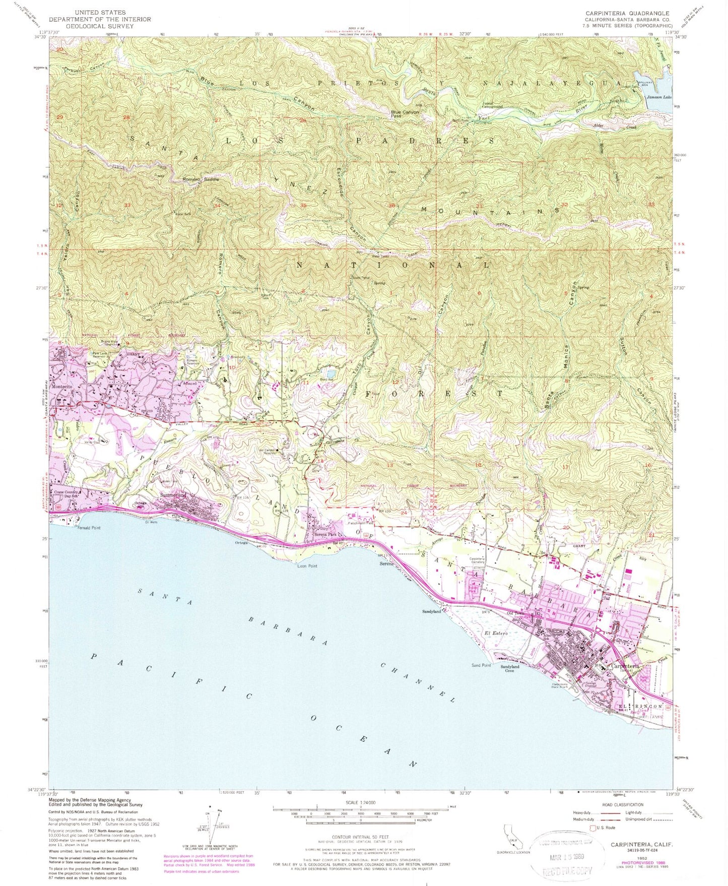
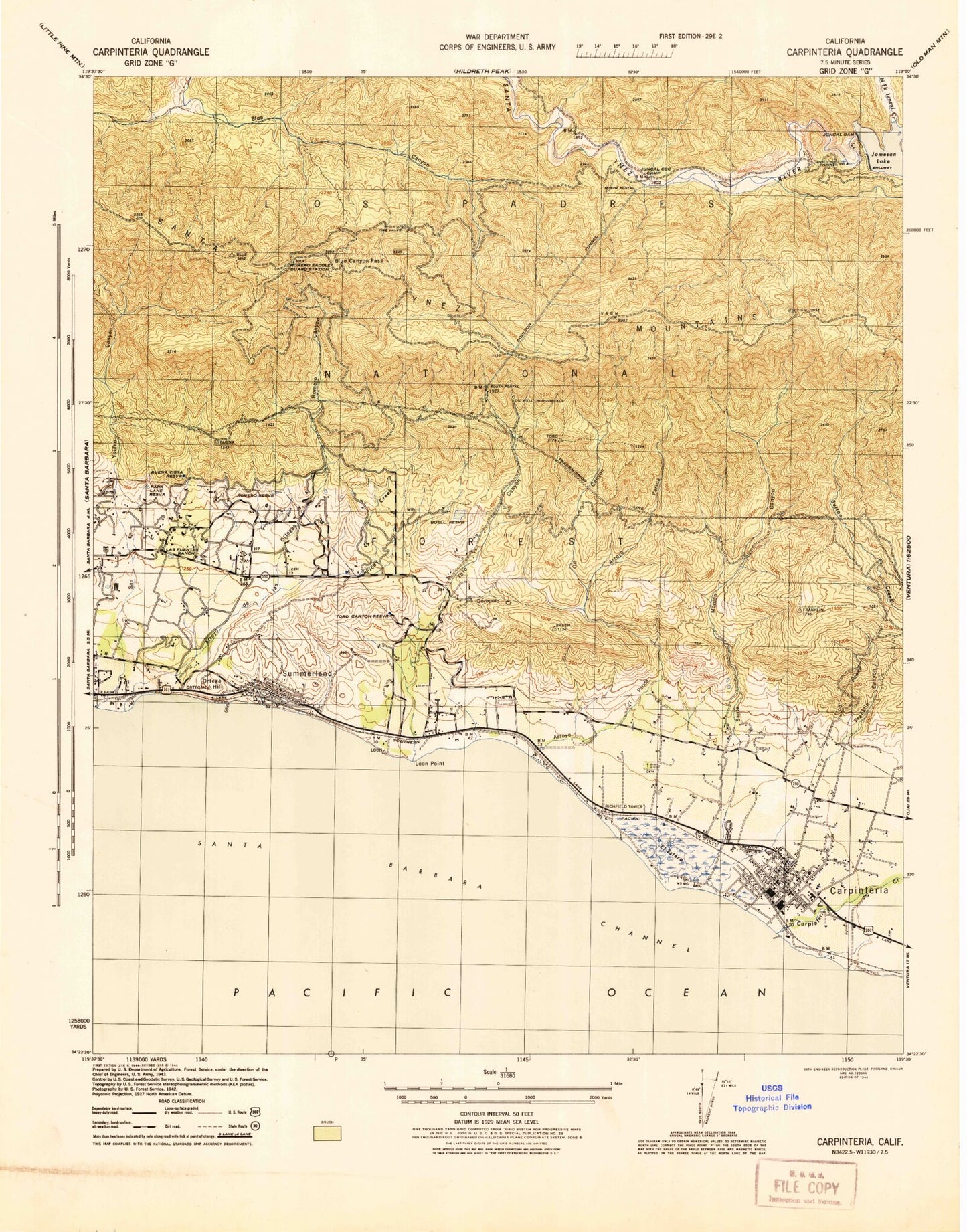
Classic USGS Carpinteria California 7.5'x7.5' Topo Map
Couldn't load pickup availability
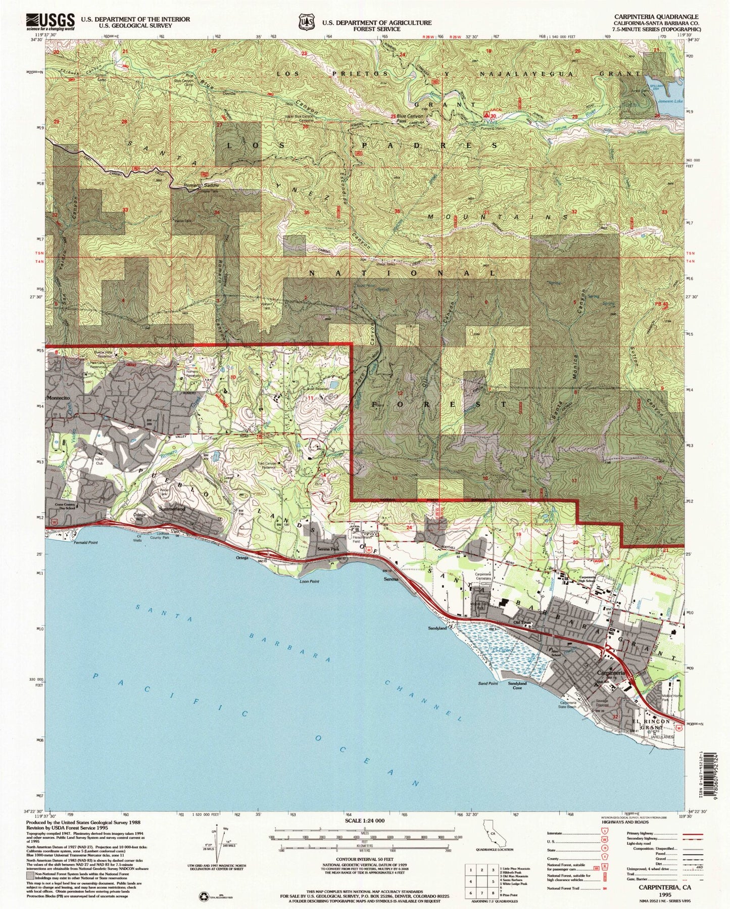
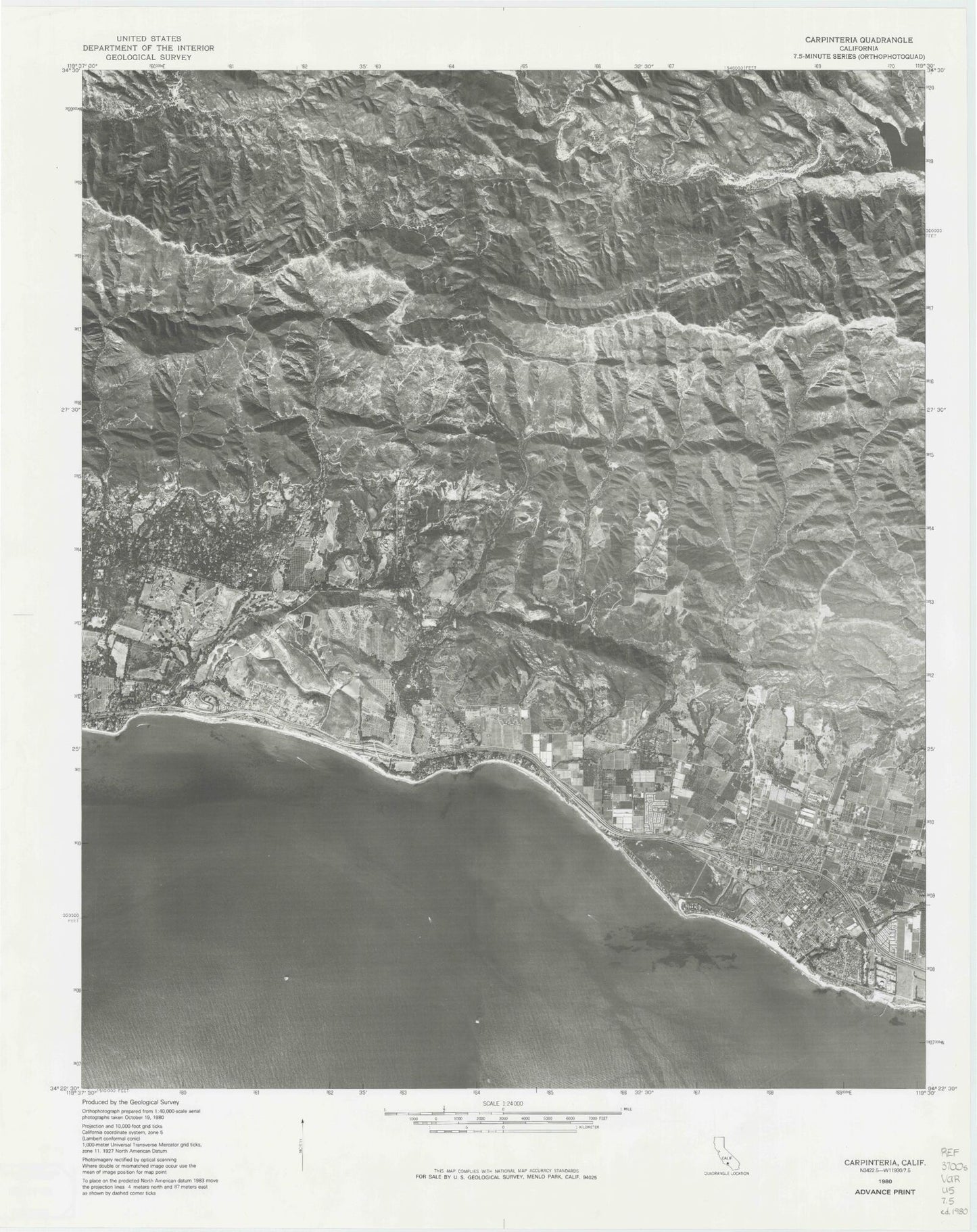
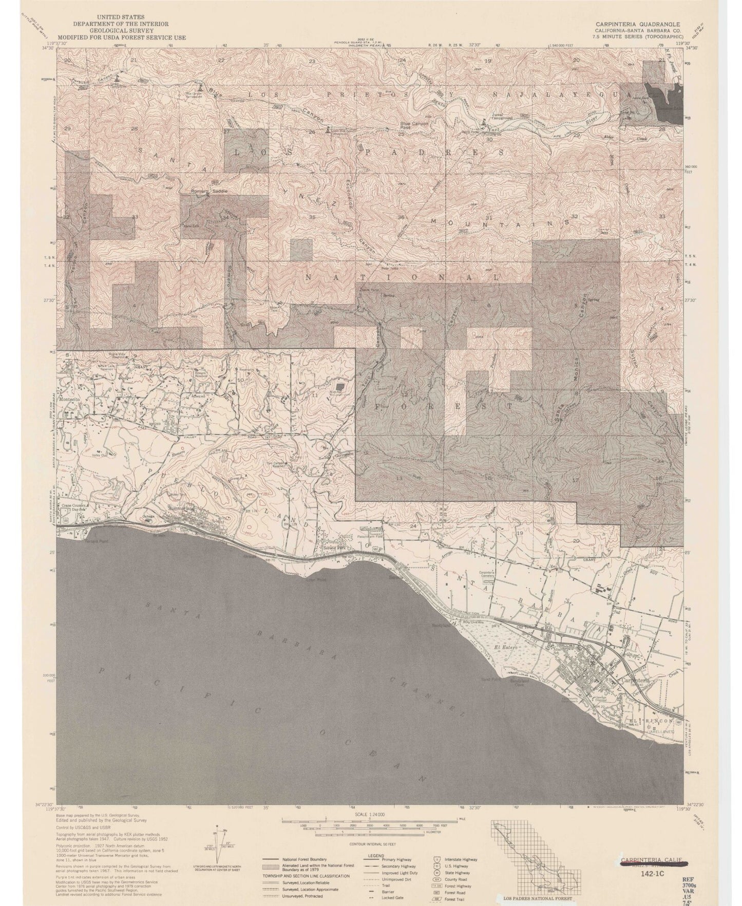
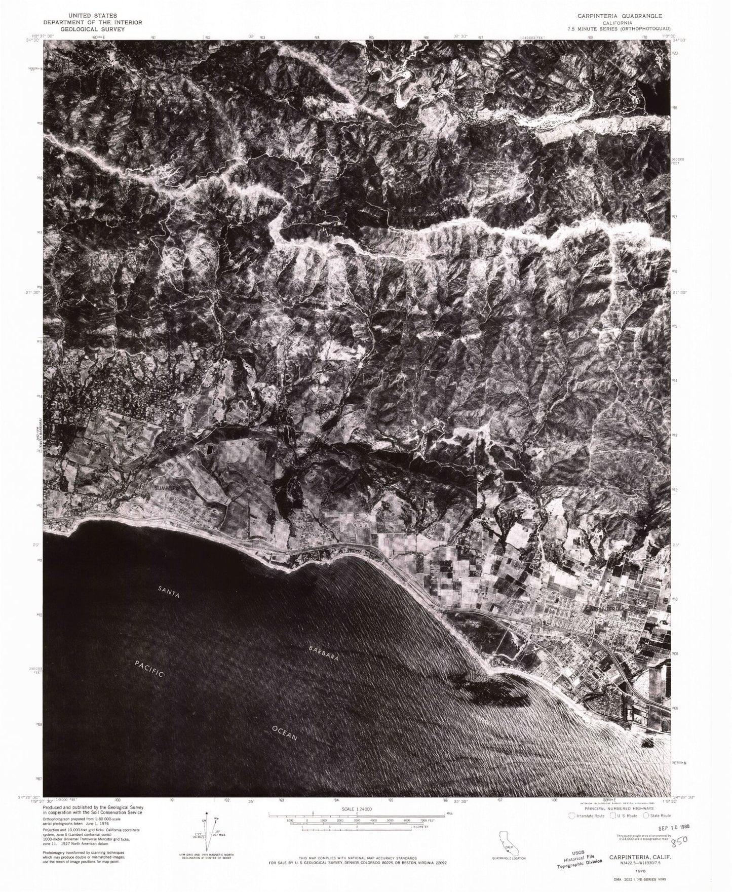
Historical USGS topographic quad map of Carpinteria in the state of California. Map scale may vary for some years, but is generally around 1:24,000. Print size is approximately 24" x 27"
This quadrangle is in the following counties: Santa Barbara.
The map contains contour lines, roads, rivers, towns, and lakes. Printed on high-quality waterproof paper with UV fade-resistant inks, and shipped rolled.
Contains the following named places: Alder Creek, Aliso Elementary School, American Medical Response Station 1, Arroyo Paredon, Birnam Wood Golf Club, Blue Canyon Campground, Blue Canyon Pass, Blue Canyon Trail, Buell Reservoir, Buena Vista Reservoir, Canalino Elementary School, Carpinteria, Carpinteria Branch Santa Barbara Public Library, Carpinteria Cemetery, Carpinteria Chamber of Commerce, Carpinteria City Beach, Carpinteria City Hall, Carpinteria Civic Center, Carpinteria Community Church, Carpinteria Community Swimming Pool, Carpinteria Creek, Carpinteria Division, Carpinteria Family School, Carpinteria Girls Club, Carpinteria High School, Carpinteria Middle School, Carpinteria Post Office, Carpinteria State Beach, Carpinteria Summerland Fire District Station 1, Carpinteria Summerland Fire District Station 2, Carpinteria Union School District Office, Carpinteria Valley Baptist Church, Carpinteria Valley Museum of History, Casitas Plaza Shopping Center, Church of Christ, Church of the Nazarene, City of Carpinteria, College of the Queen of Peace Jesuit Novitiate, Cottam Campground, Crane Country Day School, Doulton Tunnel, El Carro Park, El Estero, Escondido Canyon, Faith Lutheran Church, Fernald Point, First Baptist Church of Carpinteria, First Church of Christ Scientist, Fleischmann Field, Foothill High School, Forbush Canyon, Franciscan Village, Franklin Canyon, Franklin Creek, Franklin Creek Park, Franklin Trail, Garrapata Creek, Heath Ranch Park, Howard School, Immaculate Heart College, Immaculate Heart of Mary Novitiate, Jameson Lake, Juncal 34-002 Dam, Juncal Campground, Juncal Civilian Conservation Corps Camp, Juncal Dam, La Casa de Maria Conference and Retreat Center, Las Fuentes Ranch, Lookout County Park, Loon Point, Main Elementary School, Memorial Park, Mishopshnow, Morse Creek, North Fork Juncal Creek, North Portal, Oil Canyon, Old Town, Ortega, Ortega Dam, Ortega Hill, Ortega Reservoir, Pacifica Graduate Institute - Lambert Campus, Park Lane Reservoir, Picay Creek, Rancho Granada Mobile Homes, Rincon High School, Romero Canyon, Romero Canyon Creek Number 18 Debris Basin Dam, Romero Creek, Romero Reservoir, Romero Saddle, Romero Saddle Guard Station, Romero Trail, Saint Joseph Catholic Church, San Roque Mobile Home, San Ysidro Canyon, San Ysidro Trail, Sand Point, Sandpiper Mobile Home Park, Sandyland, Sandyland Cove, Santa Barbara County Sheriff's Office Carpinteria Station, Santa Barbara Polo Grounds, Santa Monica Canyon, Santa Monica Creek, Santa Monica Debris 2010 Dam, Seaside Theatre, Serena, Serena Park, South Portal, Summerland, Summerland Census Designated Place, Summerland Elementary School, Summerland Post Office, Summerland Presbyterian Church, The Carpenters Chapel, Toro Canyon, Toro Canyon Census Designated Place, Toro Canyon County Park, Toro Canyon Creek, Toro Canyon Reservoir, Torro Saddle, Tunnel Number Two, Upper Blue Canyon Campground, Valley Club, Veterans Memorial Hall, ZIP Codes: 93013, 93067, 93108
