
MyTopo
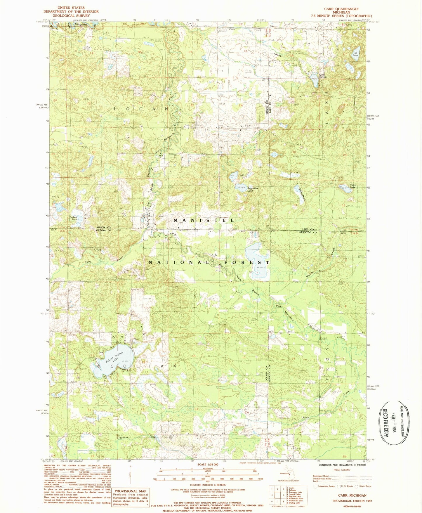
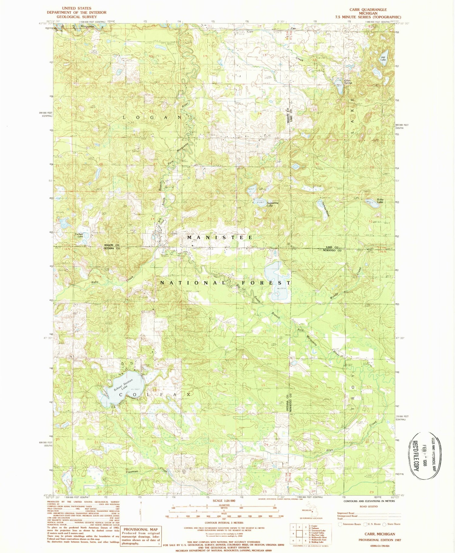
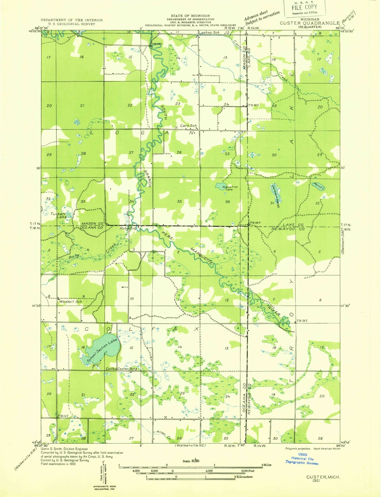
Classic USGS Carr Michigan 7.5'x7.5' Topo Map
Couldn't load pickup availability
Historical USGS topographic quad map of Carr in the state of Michigan. Map scale may vary for some years, but is generally around 1:24,000. Print size is approximately 24" x 27"
This quadrangle is in the following counties: Lake, Mason, Newaygo, Oceana.
The map contains contour lines, roads, rivers, towns, and lakes. Printed on high-quality waterproof paper with UV fade-resistant inks, and shipped rolled.
Contains the following named places: Allen Creek, Allencreek Post Office, Augustine Lake, Carr, Carr Settlement Cemetery, Carrs Post Office, Colfax Cemetery, Darkeys Marsh, Gillen Springs, Hill Lake, McCumber Cemetery, Misti Pines Campground, Pine Haven Camp Ground, Roby Lake, Ruby Creek, School Section Lake, Township of Colfax, Township of Logan, Tuckett Lake, Woody Creek