MyTopo
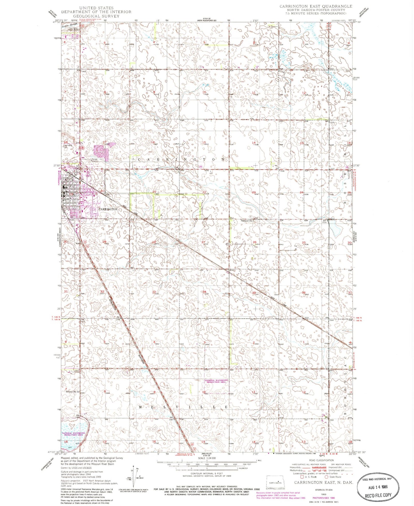
Classic USGS Carrington East North Dakota 7.5'x7.5' Topo Map
Couldn't load pickup availability
Historical USGS topographic quad map of Carrington East in the state of North Dakota. Map scale may vary for some years, but is generally around 1:24,000. Print size is approximately 24" x 27"
This quadrangle is in the following counties: Foster.
The map contains contour lines, roads, rivers, towns, and lakes. Printed on high-quality waterproof paper with UV fade-resistant inks, and shipped rolled.
Contains the following named places: Carrington Cemetery, Carrington City Library, Carrington Elementary School, Carrington High School, Carrington Water Works, Foster County Medical Center, Golden Acres Manor, KDAK-AM (Carrington), Putnam House Museum, School Number 1, School Number 4, Township of Carrington, ZIP Code: 58421