MyTopo
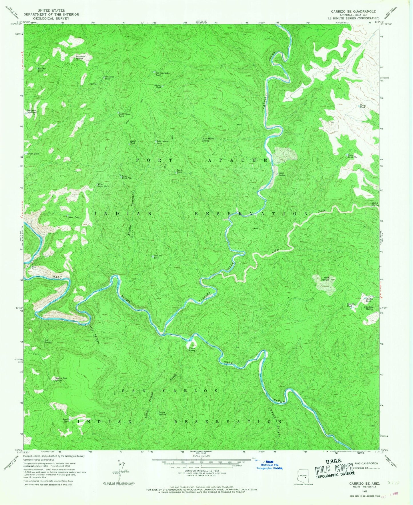
Classic USGS Carrizo SE Arizona 7.5'x7.5' Topo Map
Couldn't load pickup availability
Historical USGS topographic quad map of Carrizo SE in the state of Arizona. Map scale may vary for some years, but is generally around 1:24,000. Print size is approximately 24" x 27"
This quadrangle is in the following counties: Gila.
The map contains contour lines, roads, rivers, towns, and lakes. Printed on high-quality waterproof paper with UV fade-resistant inks, and shipped rolled.
Contains the following named places: Abdoul Canyon, Alkali Canyon, Bill Schroeder Tank, Bog Spring, Bonehead Catchment, Bonehead Spring, Bonehead Tank, Bull Butte, Carrizo Creek, Cedar Creek, Clover Tank, Cowboy Butte, Cowboy Tank, Drift Fence Tank, Fort Apache Division, Golden Roll Spring, John Moore Spring, KM Mine, Little Trough Creek, Louse Tank Number One, Mesquite Tank, Mine Tank, Mine Tank Number Two, Old R Spring, Popcorn Canyon, Quail Tank, Ridge Tank Number One, Rim Pit Tank, Side Oat Tank, Skeleton Tank, Soda Spring, Spoon Tank, Swede Spring, Swede Tank, Warm Spring