MyTopo
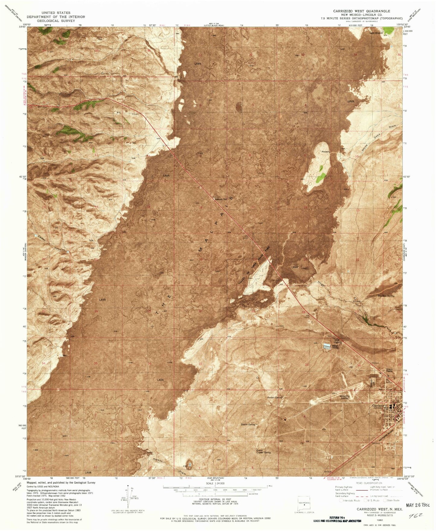
Classic USGS Carrizozo West New Mexico 7.5'x7.5' Topo Map
Couldn't load pickup availability
Historical USGS topographic quad map of Carrizozo West in the state of New Mexico. Map scale may vary for some years, but is generally around 1:24,000. Print size is approximately 24" x 27"
This quadrangle is in the following counties: Lincoln.
The map contains contour lines, roads, rivers, towns, and lakes. Printed on high-quality waterproof paper with UV fade-resistant inks, and shipped rolled.
Contains the following named places: Anchor Spring, Assembly of God Church, Bloom Spring, Carrizoza Health Center, Carrizozo, Carrizozo Elementary School, Carrizozo High School, Carrizozo Historical Marker, Carrizozo Middle School, Carrizozo Municipal Airport, Carrizozo Police Department, Carrizozo Post Office, Carrizozo Weather Station, Christian Science of Lincoln Church, Church of Christ, Evergreen Cemetery, First Baptist Church, Harkey Prospect, L M and M Mill, Lincoln County Emergency Medical Services Carrizozo Station, Lincoln County Sheriff's Office, Lower Coyote Spring, Malpais-Valley of Fires Historical Marker, Nogal Creek, Nogal Draw, Saint Matthias Episcopal Church, Santa Rita Catholic Church, Scott Spring, The Malpais, Trinity Church, Valley of Fires State Park, Western Hotel, White Oaks Draw