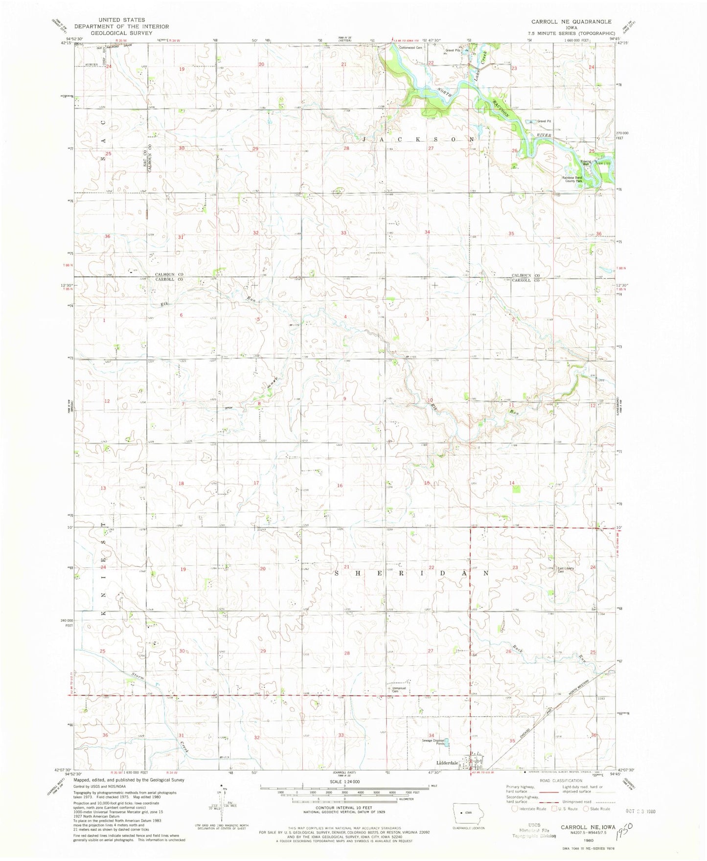
MyTopo
Classic USGS Carroll NE Iowa 7.5'x7.5' Topo Map
Regular price
$16.95
Regular price
Sale price
$16.95
Unit price
per
Couldn't load pickup availability
Historical USGS topographic quad map of Carroll NE in the state of Iowa. Map scale may vary for some years, but is generally around 1:24,000. Print size is approximately 24" x 27"
This quadrangle is in the following counties: Calhoun, Carroll, Sac.
The map contains contour lines, roads, rivers, towns, and lakes. Printed on high-quality waterproof paper with UV fade-resistant inks, and shipped rolled.
Contains the following named places: Browning Post Office, Cottonwood Cemetery, Ditch Number 72 and 81, East Liberty Cemetery, Immanuel Cemetery, Immanuel School, Kentner, Kentner Post Office, Lake City Bridge, Lake Creek, Onken Feedlots, Rainbow Bend County Park, Township of Sheridan