MyTopo
Classic USGS Carrville Alabama 7.5'x7.5' Topo Map
Couldn't load pickup availability
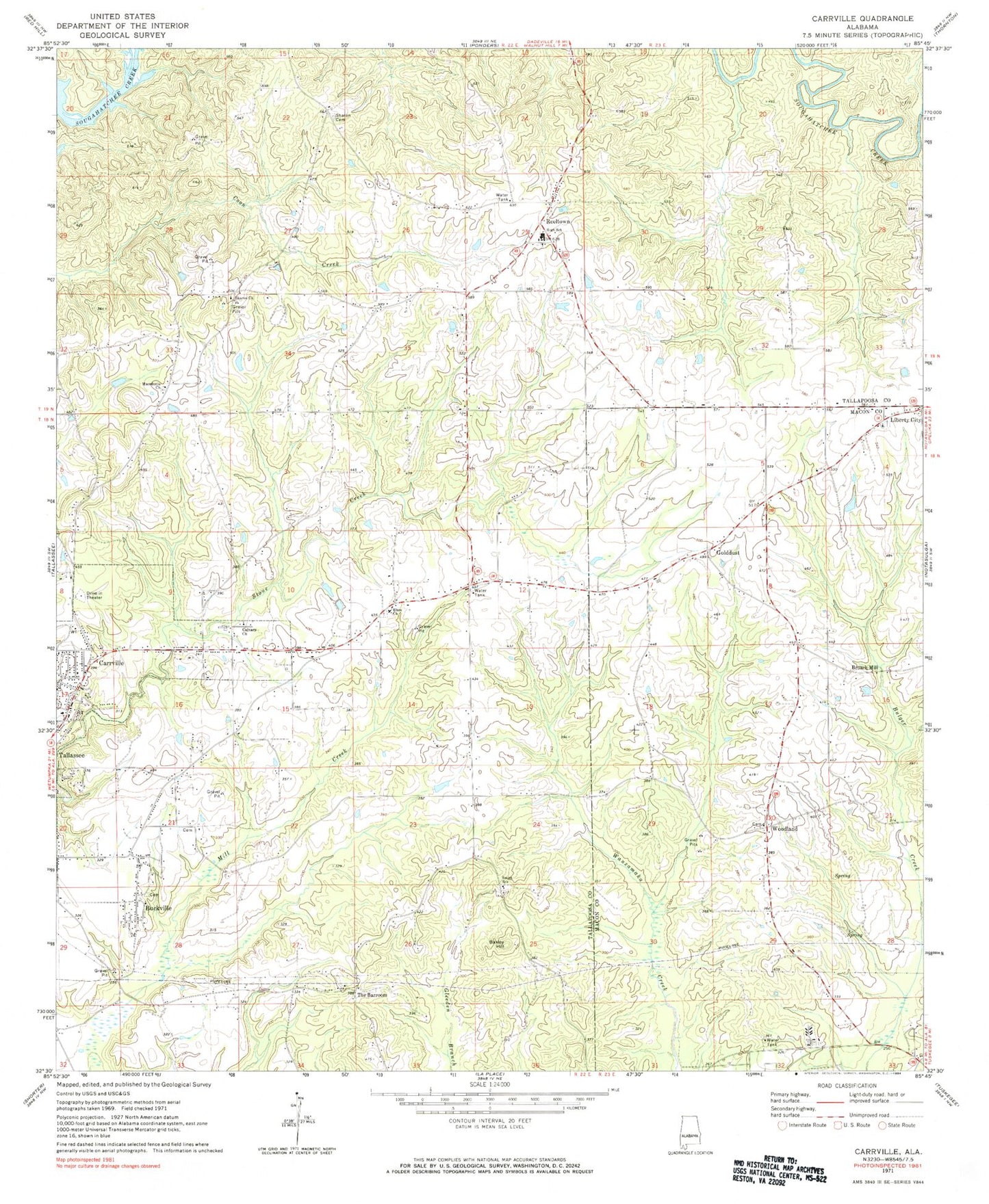
Historical USGS topographic quad map of Carrville in the state of Alabama. Map scale may vary for some years, but is generally around 1:24,000. Print size is approximately 24" x 27"
This quadrangle is in the following counties: Macon, Tallapoosa.
The map contains contour lines, roads, rivers, towns, and lakes. Printed on high-quality waterproof paper with UV fade-resistant inks, and shipped rolled.
Contains the following named places: Ashurot Mill, Baxley Hill, Broach Mill, Buckville, Calvary Baptist Church, Carrville, Elam Church, Gauntts Mill, Golddust, Golddust School, Hicks Chapel School, Jackson School, Liberty Cemetery, Liberty United Methodist Church, Macedonia Church, Mount Heeren Church, Muck Creek, New Zion Church, Oak Heights Church, Old Hicks Chapel Church, Reeltown, Reeltown - Macedonia Fire Department, Reeltown Cemetery, Reeltown Census Designated Place, Reeltown Church, Reeltown High School, Reeltown Volunteer Fire Department, Sharon Primitive Baptist Church, Simmons School, Smith, Smith Church, Smith School, Sycamore Creek, Tallapoosa City, Tallassee Division, Tallassee Fire Department Station 2, The Barroom, WACQ-AM (Carrville), Woodland, Woodland Cemetery, Woodland Church