MyTopo
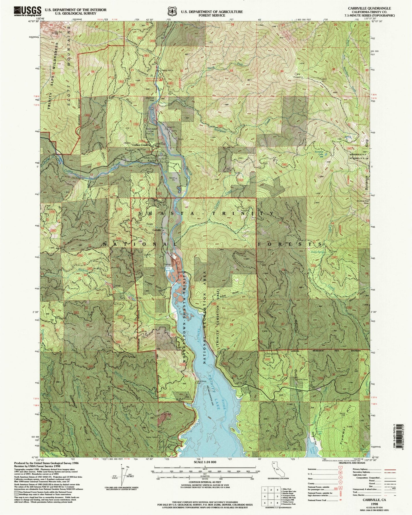
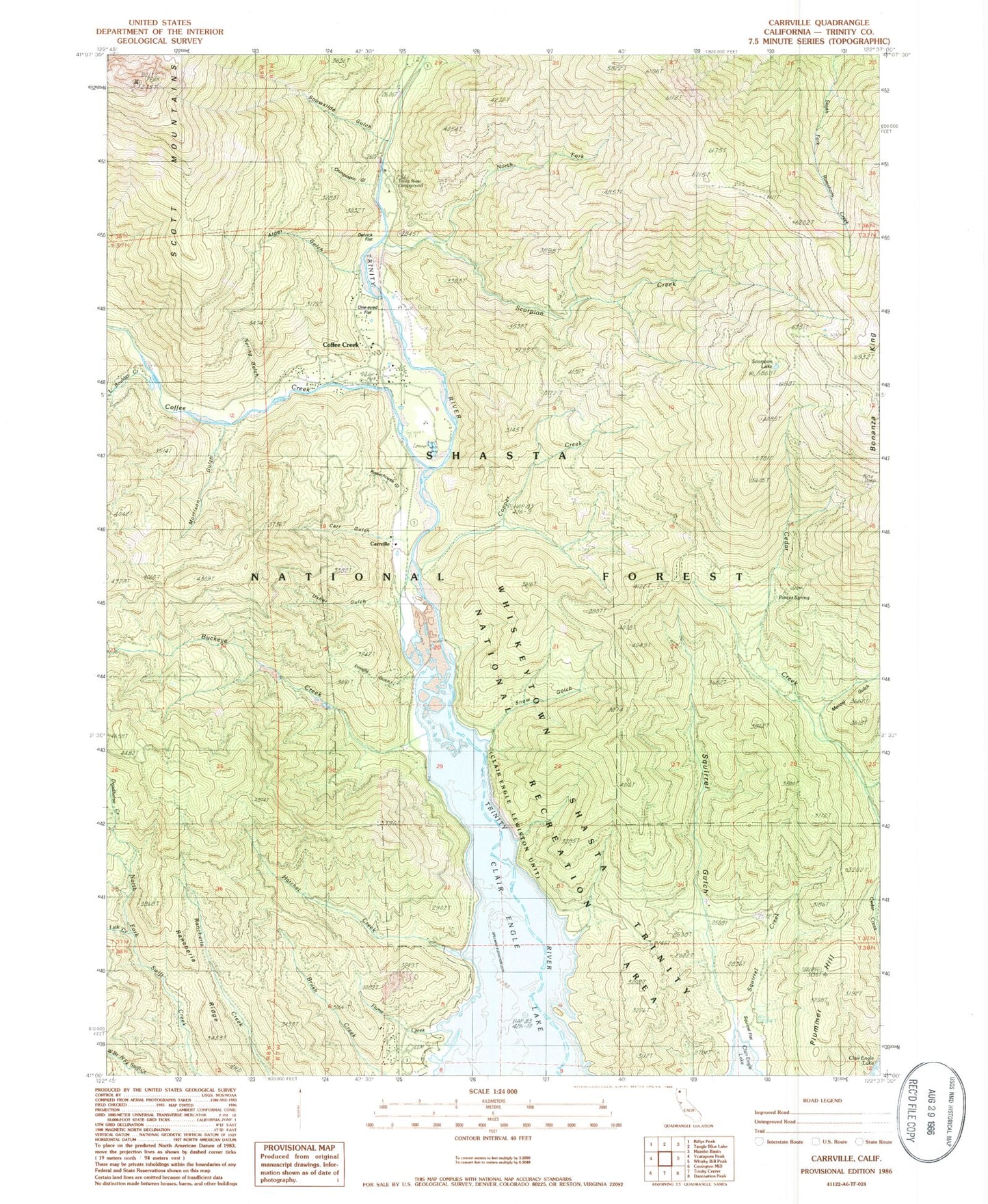
Classic USGS Carrville California 7.5'x7.5' Topo Map
Couldn't load pickup availability
Historical USGS topographic quad map of Carrville in the state of California. Typical map scale is 1:24,000, but may vary for certain years, if available. Print size: 24" x 27"
This quadrangle is in the following counties: Trinity.
The map contains contour lines, roads, rivers, towns, and lakes. Printed on high-quality waterproof paper with UV fade-resistant inks, and shipped rolled.
Contains the following named places: Bonanza King Mine, Cabin Gulch, Powerhouse Gulch, Spring Gulch, Alder Gulch, Brush Creek, Buckeye Creek, Carr Gulch, Chinquapin Gulch, Coffee Creek, Copper Creek, Deadhorse Creek, Enright Gulch, Flume Creek, Hatchet Creek, Lick Creek, Little Boulder Creek, Menzel Gulch, Minnehaha Creek, Morrison Gulch, North Fork Scorpion Creek, Oneeyed Flat, Porter Spring, Scorpion Creek, Scorpion Lake, Snow Gulch, Snowslide Gulch, Squirrel Creek, Squirrel Gulch, Trinity River Campground, Usher Gulch, Menzel Creek, Billys Peak Lookout, Kadas Mine, Coffee Creek Station, Bonanza King, Carrville, Plummer Hill, Coffee Creek, Rancheria Ridge, Squirrel Flat, Stringtown (historical), Coffee Creek Elementary School, Coffee Creek Census Designated Place, Coffee Creek Volunteer Fire Department


