MyTopo
Classic USGS Carson Lake Nevada 7.5'x7.5' Topo Map
Regular price
$16.95
Regular price
Sale price
$16.95
Unit price
per
Couldn't load pickup availability
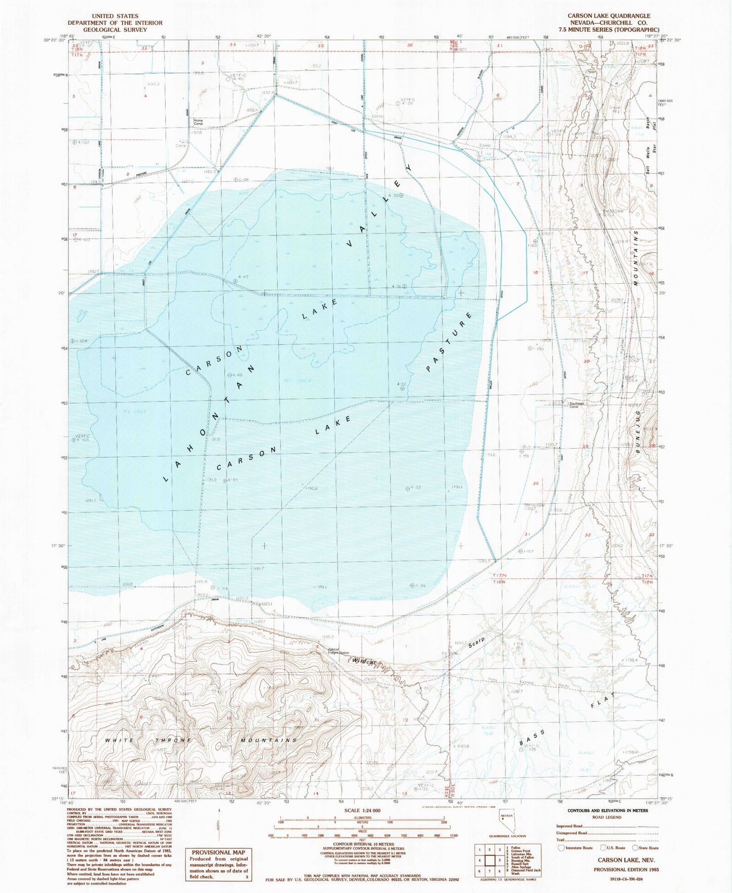
Historical USGS topographic quad map of Carson Lake in the state of Nevada. Map scale may vary for some years, but is generally around 1:24,000. Print size is approximately 24" x 27"
This quadrangle is in the following counties: Churchill.
The map contains contour lines, roads, rivers, towns, and lakes. Printed on high-quality waterproof paper with UV fade-resistant inks, and shipped rolled.
Contains the following named places: Bass Flat, Carson Lake, Carson Lake Pasture, East Lee Drain, Greenhead Duck Club, Home Corral, Pierson Slough, Rice Ditch, South Branch Carson River, Southeast Corral, West Lee Drain, White Throne Mountains, Wildcat Freight Station, Wildcat Scarp