MyTopo
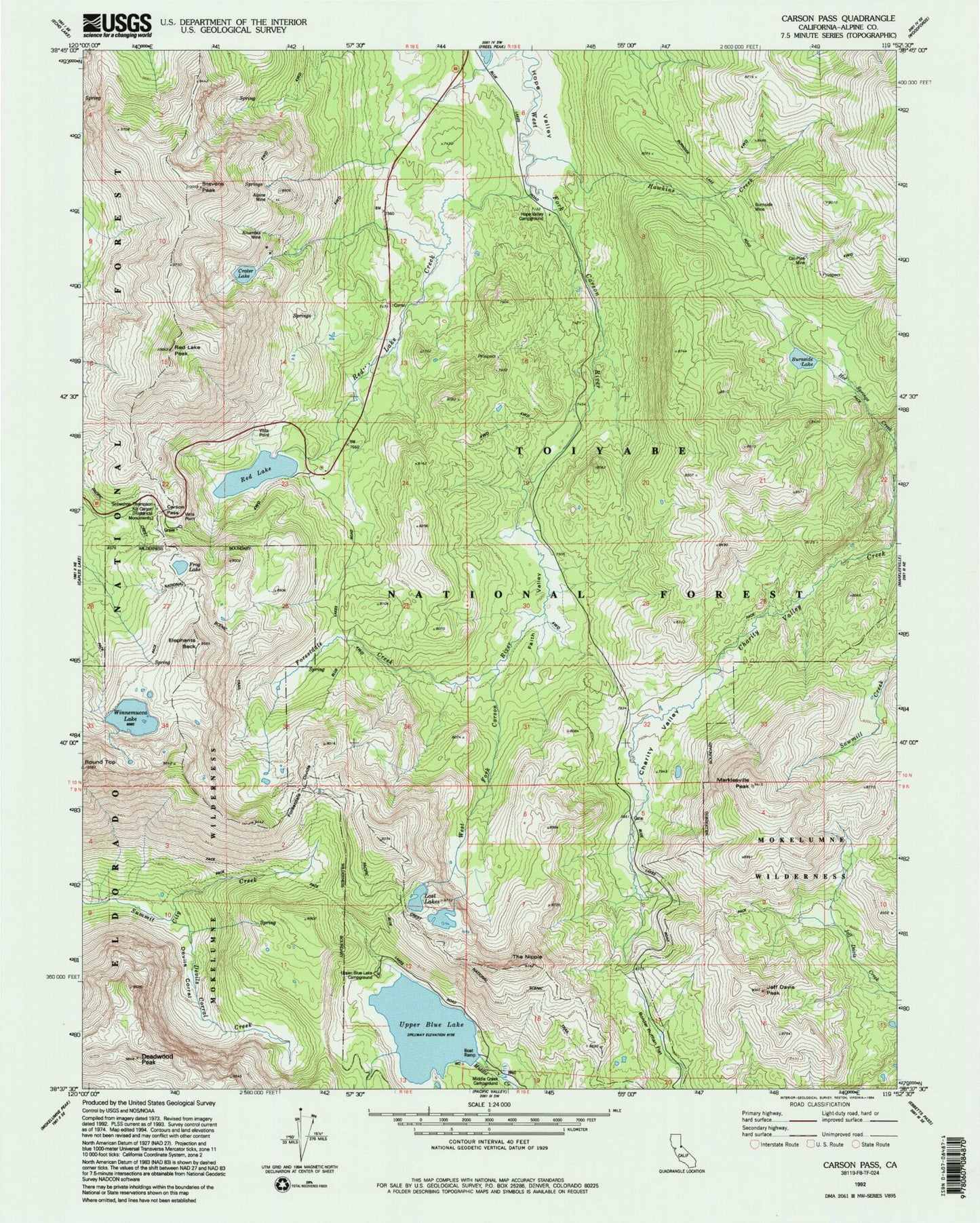
USGS Classic Carson Pass California 7.5'x7.5' Topo Map
Couldn't load pickup availability
Historical USGS topographic quad map of Carson Pass in the state of California. Scale: 1:24000. Print size: 24" x 27"
This quadrangle is in the following counties: Alpine.
The map contains contour lines, roads, rivers, towns, lakes, and grids including latitude / longitude and UTM / MGRS. Printed on high-quality waterproof paper with UV fade-resistant inks.
Contains the following named places: Alhambra Mine, Alpine Mine, Border Ruffian Flat, Burnside Lake, Burnside Mine, Cal-Pine Mine, Carson Pass, Charity Valley, Crater Lake, Damsite Campground, Devils Corral, Devils Corral Creek, Elephants Back, Faith Valley, Forestdale Creek, Forestdale Divide, Frog Lake, Hawkins Creek, Hope Valley Campground, Da-ek Dow Go-et Mountain, Kit Carson, Lost Lakes, Markleeville Peak, Middle Creek Campground, Red Lake, Red Lake Creek, Red Lake Peak, Snowshoe Thompson Historical Monument, Stevens Peak, The Nipple, Upper Blue Lake, Winnemucca Lake, Deadwood Peak, Upper Blue Lake Campground, Brewers Mine, Dressler, Carson Pass Scenic Viewpoint, Upper Blue Creek 97-070 Dam, Crater Lake 511-002 Dam, Red Lake 511-003 Dam, Lost Lake East 512 Dam, Lost Lake West 512-002 Dam, Charity Valley Trail, Red Vista, Sentinel Rock


