MyTopo
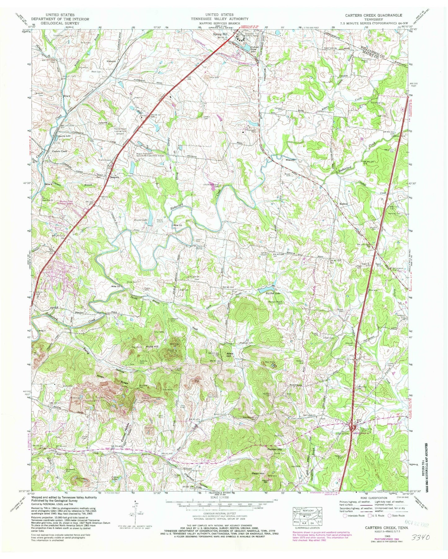
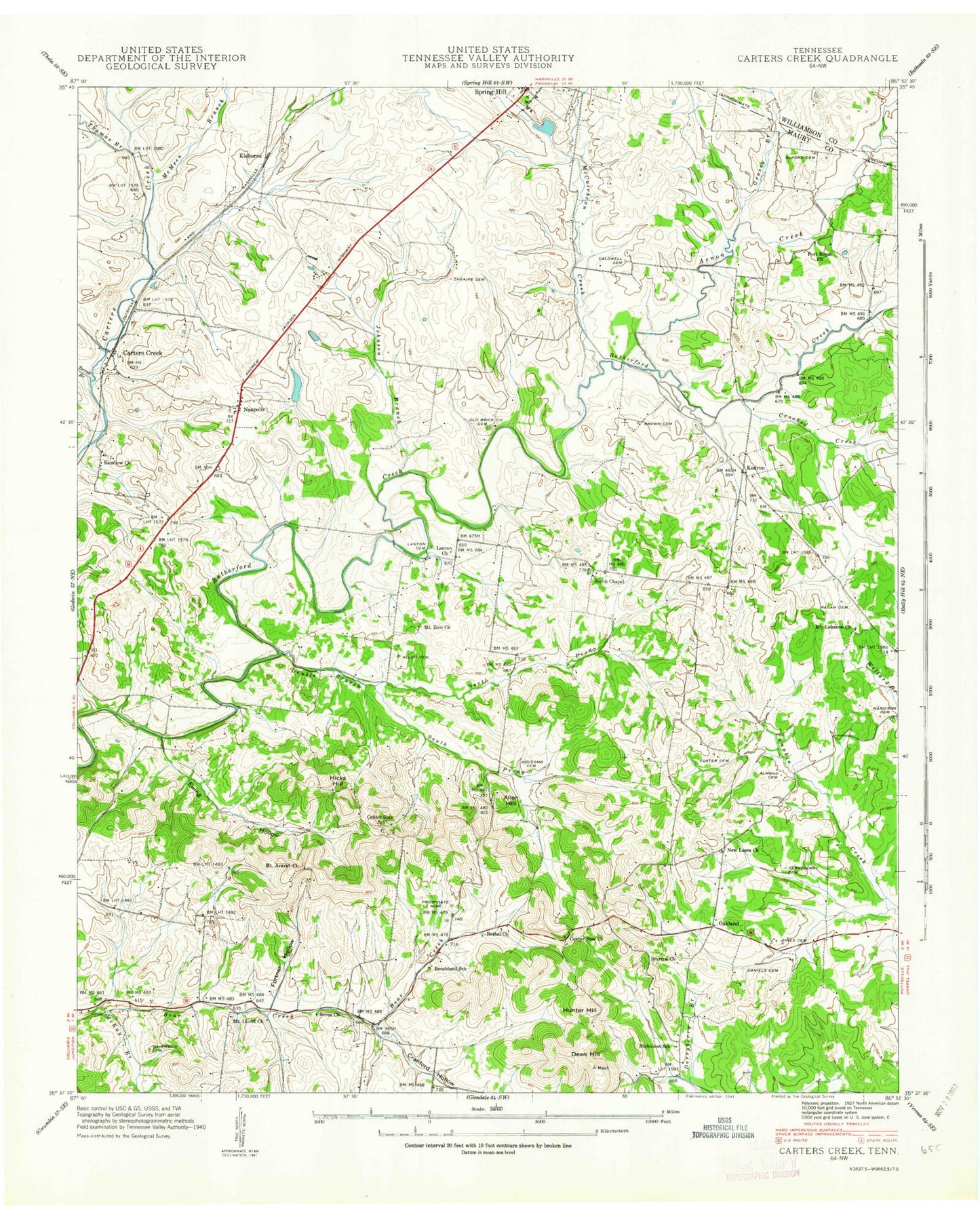
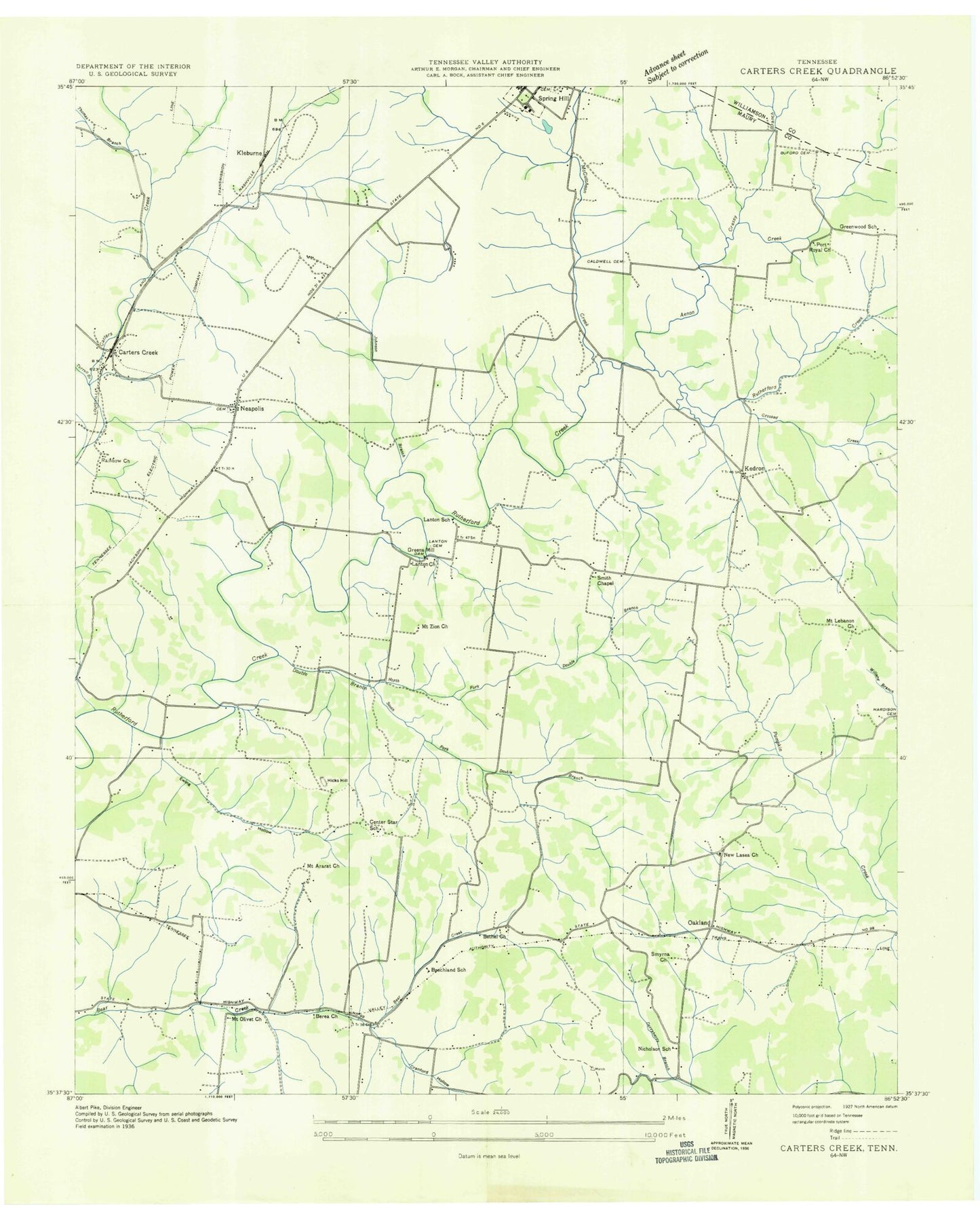
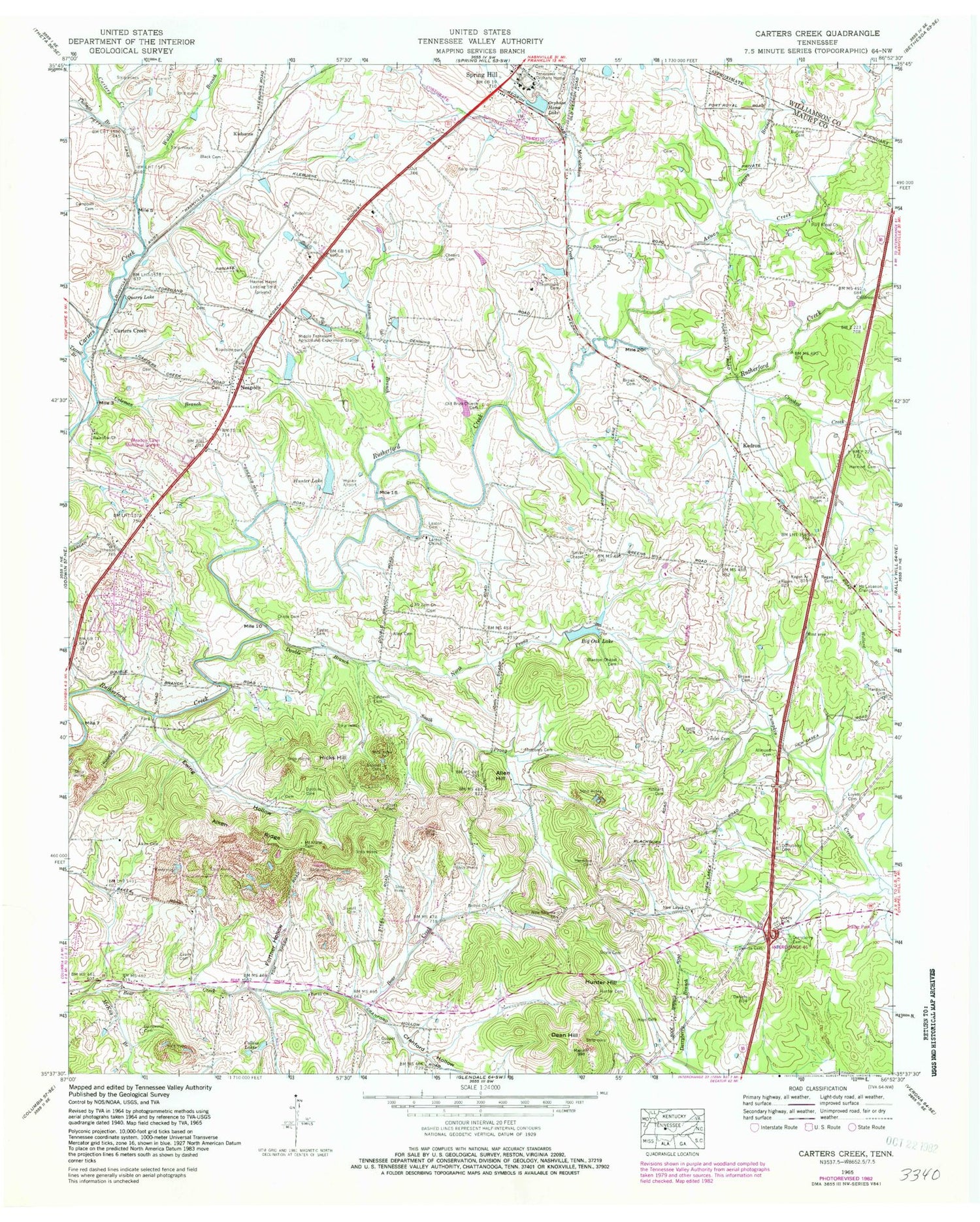
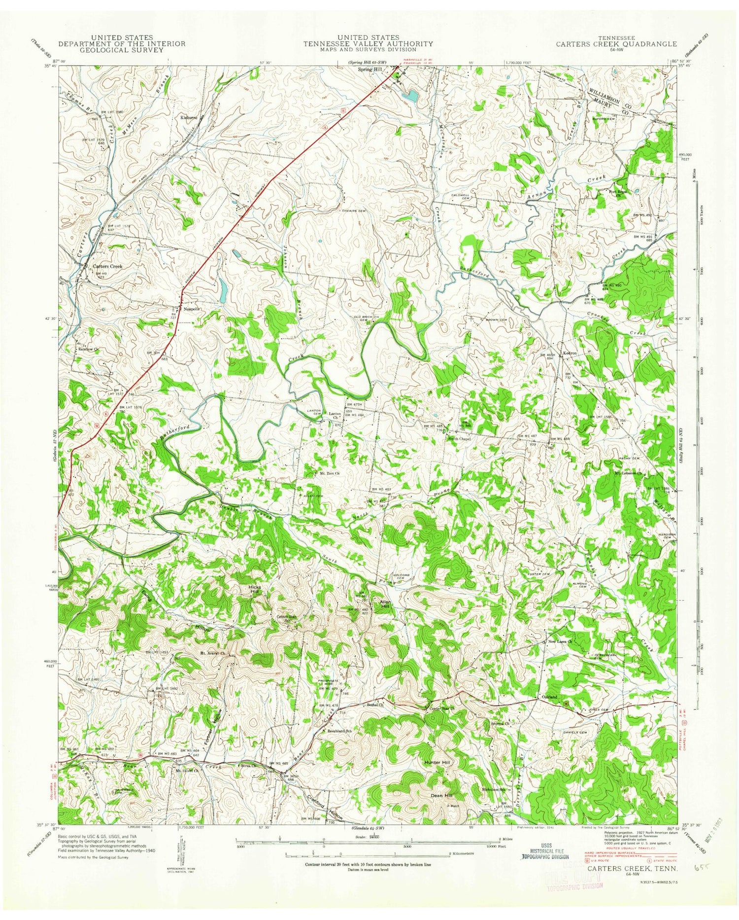
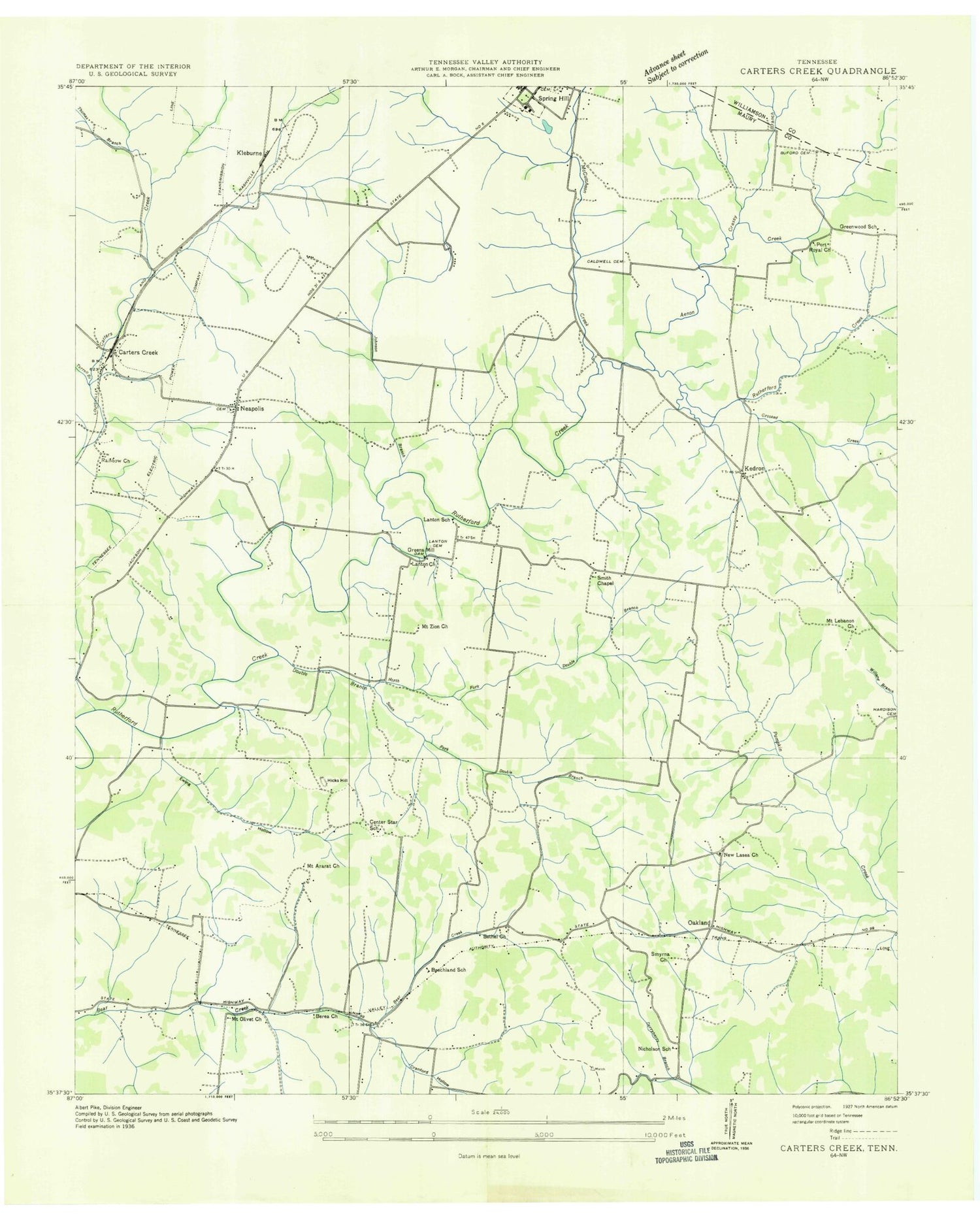
Classic USGS Carters Creek Tennessee 7.5'x7.5' Topo Map
Couldn't load pickup availability
Historical USGS topographic quad map of Carters Creek in the state of Tennessee. Map scale may vary for some years, but is generally around 1:24,000. Print size is approximately 24" x 27"
This quadrangle is in the following counties: Maury, Williamson.
The map contains contour lines, roads, rivers, towns, and lakes. Printed on high-quality waterproof paper with UV fade-resistant inks, and shipped rolled.
Contains the following named places: Aenon Creek, Aiken Cemetery, Aiken Ridge, Allen Cemetery, Allen Hill, Allmond Cemetery, Bailey Cemetery, Beechland School, Benjamin Watkins Cemetery, Berea Church, Bethel Church, Big Oak Dam, Big Oak Lake, Black Cemetery, Blackburn Cemetery, Blair Cemetery, Blanton Chapel Cemetery, Blantons Chapel, Branham and Hughes Military Academy, Brown Cemetery, Buford Cemetery, Bunch Cemetery, Caldwell Cemetery, Campbell Cemetery, Campbells stand, Carters Creek, Center Star School, Cheairs Cemetery, Childress Cemetery, Chrite Cemetery, City of Spring Hill, Coleman Branch, Collins Lakes, Columbia Fire Department Station 5, Commissioner District 11, Commissioner District 5, Cooper Cemetery, Cox Cemetery, Cranford Hollow, Crooked Creek, Daimwood Cemetery, Daniels Cemetery, Dean Hill, Derryberry Cemetery, District 21, District 22, District 23, Dobbins Cemetery, Double Branch, Doyle Cemetery, Evans Cemetery, Everett Cemetery, Ewing Hollow, Ewing Mine, Farris Cemetery, Fortner Hollow, Foster Cemetery, Grassy Branch, Greens Mill, Greens Mill Dam, Greenwood School, Hardison Cemetery, Hardison Mine, Harmon Cemetery, Haynes Haven Farm Airport, Hays Cemetery, Herring Cemetery, Hicks Hill, Holcomb Cemetery, Hunter Airport, Hunter Cemetery, Hunter Hill, Hunter Lake, Hunter Lake Dam, Johnson Branch, Johnston Cemetery, Jones Cemetery, Kedron, Kinnard Cemetery, Kleburne, Lanton, Lanton Cemetery, Lanton Church, Lasea, Lasea Church, Leftwich Cemetery, Lofton Hill, Lovett Cemetery, Lower Rutherford Creek Division, Match, McCutcheon Creek, McKay Branch, Middle Tennessee Agricultural Experiment Station, Mount Ararat Cemetery, Mount Ararat Church, Mount Lebanon Church, Mount Olivet Methodist Church, Mount Zion Church, Neapolis, Neapolis Cemetery, Neapolis United Methodist Church, New Lasea Church, New Smyrna Church, Nicholson School, North Prong Double Branch, Oakland, Oglebys Mill, Old Brick Church, Old Brick Church Cemetery, Orphans Home Lake, Pinecrest Memorial Gardens, Port Royal Church, Quarry Lake, R & S Buzzard Airport, Ragan Cemetery, Rainbow Church, Roberts Cemetery, Rourkes Mill, Rutherford Hills, Secrest Cemetery, Sharp Cemetery, Shyes Cemetery, Smith Chapel, Smyrna Cumberland Presbyterian Church, South Prong Double Branch, Sowell Cemetery, Speed and Harmon Mine, Speed Mine, Spring Hill Cemetery, Spring Hill Division, Spring Hill Fire Department Station 2, Spring Hill Police Department, Spring Hill School, Street Cemetery, Tennessee Orphans Home, Terrell Branch, Thomas Branch, Thompson Cemetery, TriStar Spring Hill Emergency Hospital, University of Tennessee Experimental Farm Lake, University of Tennessee Experimental Farm Lake Dam, University of Tennessee Mine, Voorhies Cemetery, Wade Cemetery, Walden Branch, Wells Cemetery, ZIP Code: 37174
