MyTopo
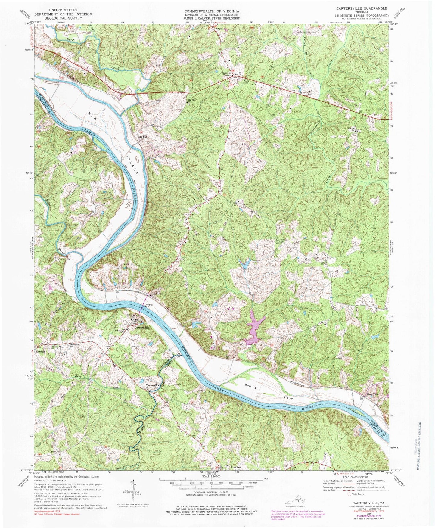
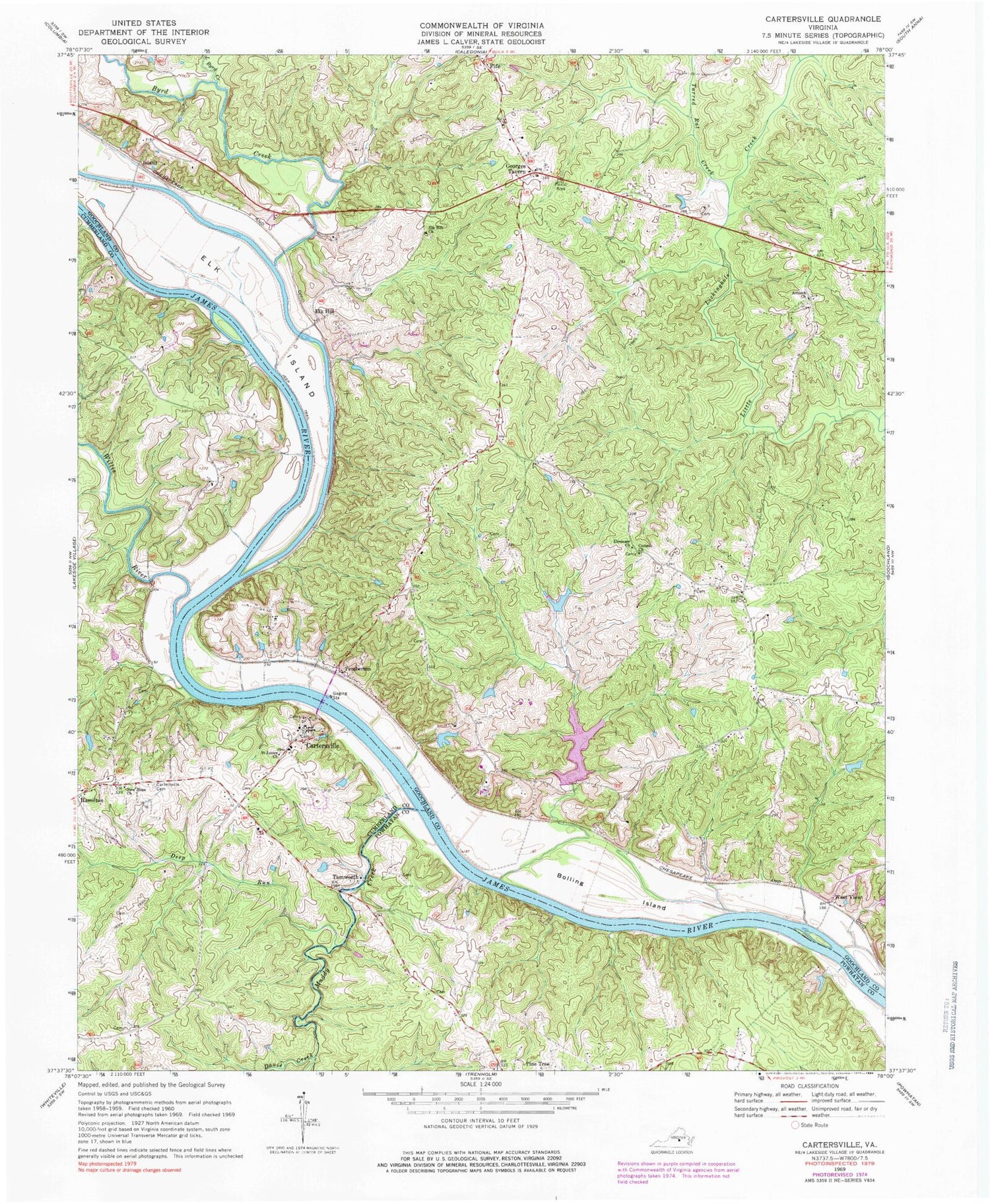
Classic USGS Cartersville Virginia 7.5'x7.5' Topo Map
Couldn't load pickup availability
Historical USGS topographic quad map of Cartersville in the state of Virginia. Typical map scale is 1:24,000, but may vary for certain years, if available. Print size: 24" x 27"
This quadrangle is in the following counties: Cumberland, Goochland, Powhatan.
The map contains contour lines, roads, rivers, towns, and lakes. Printed on high-quality waterproof paper with UV fade-resistant inks, and shipped rolled.
Contains the following named places: Antioch Church, Bolling Island, Byrd Creek, Cartersville Cemetery, Corinth Church, Davis Creek, Deep Run, Ebenezer Church, Elk Hill Church, Elk Island, Island, Little Byrd Creek, Muddy Creek, New Hope Church, Pine Tree, Saint James Church, Tarred Rat Creek, Willis River, West View, Knorr Dam, Picketts Creek Dam, Picketts Creek Reservoir, Queensmeer Dam, Queensmeer Lake, Volchers Dam, Cartersville, Elk Hill, Fife, Georges Tavern, Pemberton, Tamworth, Cartersville Post Office, Muddy Creek Mills, New Hope School (historical), Hamilton, Stokes Airport (historical), Dogwood Acres, Hunters Trail, James River Landing, Stokes (historical), Cartersville Volunteer Fire Department, Goochland County Volunteer Fire and Rescue Company 4 Fife, The Harambee School at Elk Hill, Picketts Creek


