MyTopo
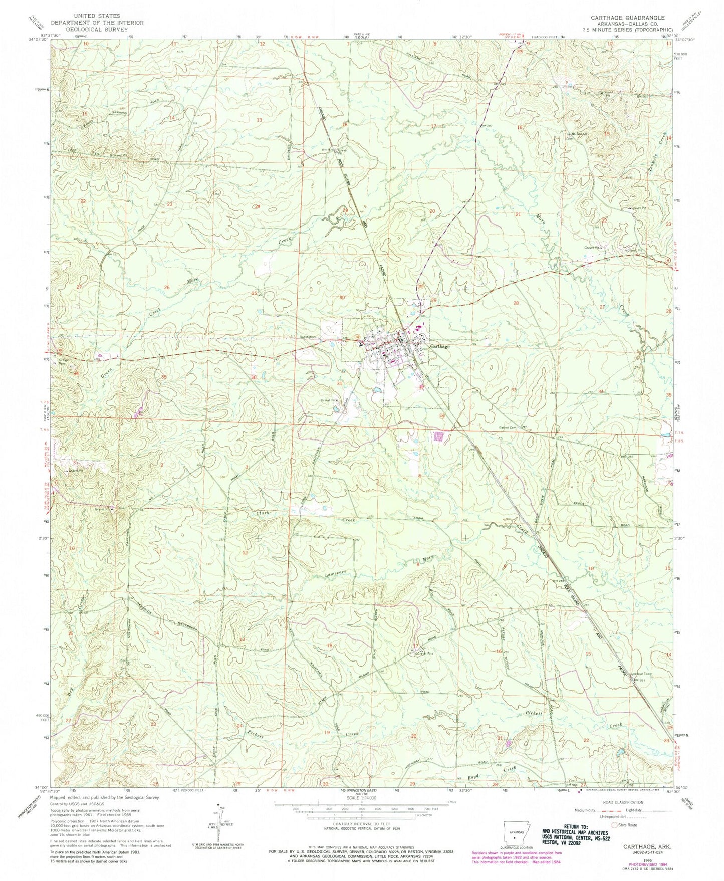
Classic USGS Carthage Arkansas 7.5'x7.5' Topo Map
Couldn't load pickup availability
Historical USGS topographic quad map of Carthage in the state of Arkansas. Map scale may vary for some years, but is generally around 1:24,000. Print size is approximately 24" x 27"
This quadrangle is in the following counties: Dallas.
The map contains contour lines, roads, rivers, towns, and lakes. Printed on high-quality waterproof paper with UV fade-resistant inks, and shipped rolled.
Contains the following named places: Bethel Cemetery, Canada Creek, Carthage, Carthage Elementary School, Carthage High School, Carthage Post Office, Carthage Volunteer Fire Department, City of Carthage, Clark Creek, Dyer Moro Creek, Green Creek, Gum Creek, Matthews Creek, Mount Zion Methodist Church, Township of Bunn, Williams Creek, ZIP Code: 71725