MyTopo
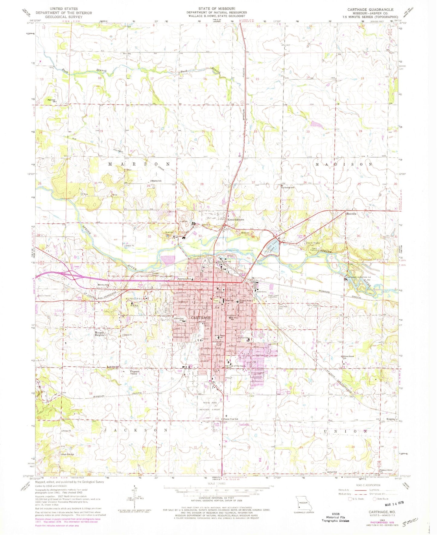
Classic USGS Carthage Missouri 7.5'x7.5' Topo Map
Couldn't load pickup availability
Historical USGS topographic quad map of Carthage in the state of Missouri. Map scale may vary for some years, but is generally around 1:24,000. Print size is approximately 24" x 27"
This quadrangle is in the following counties: Jasper.
The map contains contour lines, roads, rivers, towns, and lakes. Printed on high-quality waterproof paper with UV fade-resistant inks, and shipped rolled.
Contains the following named places: Barlet's Base Airport, Bethel Church, Camp Putnam, Carthage, Carthage Fire Department, Carthage High School, Carthage Junior High School, Carthage Middle School, Carthage Police Department, Carthage Post Office, Carthage Technical Center, Cedar Hill Cemetery, Centennial School, City of Carthage, Columbian Elementary School, Edwin, Eugene Field School, Fairview Church, Fairview Elementary School, Frerer Strip, Green Cove School, Green Grove School, Hawthorne School, High Hill School, Jasper County, Jasper County Sheriff's Office, KDMO-AM (Carthage), Kellogg Lake, Kellogg Lake Dam, Kellogg Lake Park, Kendricktown, Knells Park, Knights, KRGK-FM (Carthage), La Grange School, Lee's Flying Park, Lone Star School, Marion School, Mark Twain Elementary School, Maxville, Mercy Hospital Carthage, Monitor School, Morgan Heights, Myers Park Memorial Municipal Airport, Oak Hill Cemetery, Our Lady of the Ozarks College, Park Cemetery, Pleasant Grove School, Pleasant Valley, Prairie Dale School, Prairie View School, Radium School, Saint Anns School, Shiloh School, Steadley Elementary School, Township of Marion, ZIP Code: 64836