MyTopo
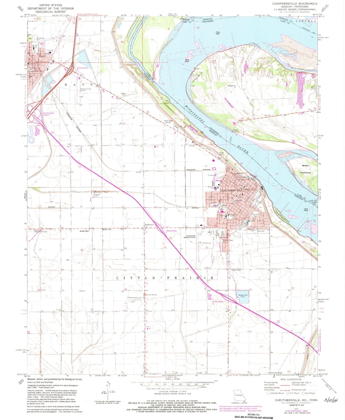
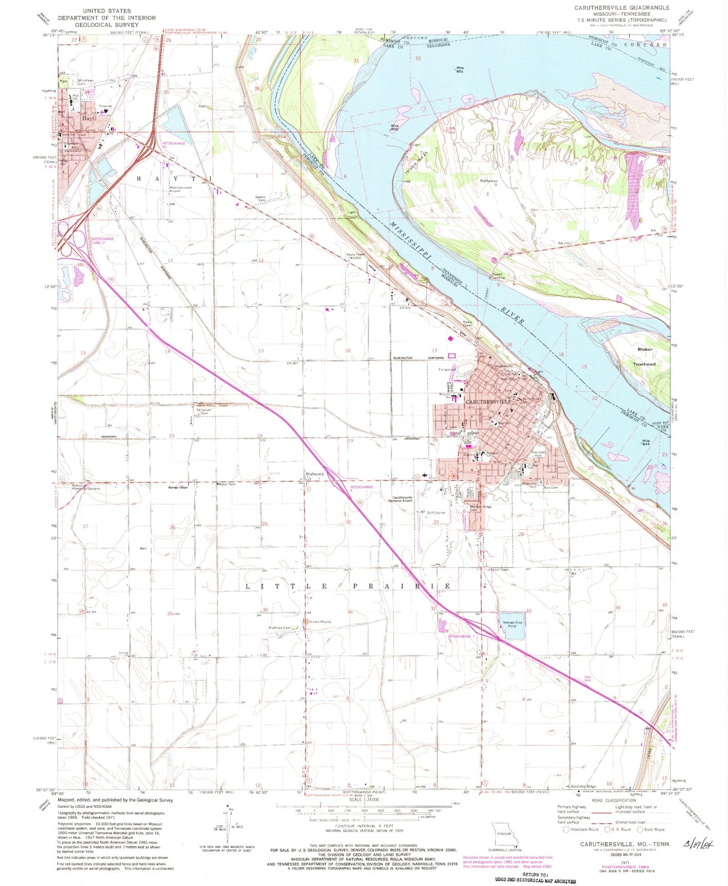
Classic USGS Caruthersville Missouri 7.5'x7.5' Topo Map
Couldn't load pickup availability
Historical USGS topographic quad map of Caruthersville in the states of Missouri, Tennessee. Map scale may vary for some years, but is generally around 1:24,000. Print size is approximately 24" x 27"
This quadrangle is in the following counties: Dyer, Lake, Pemiscot.
The map contains contour lines, roads, rivers, towns, and lakes. Printed on high-quality waterproof paper with UV fade-resistant inks, and shipped rolled.
Contains the following named places: Carlston, Carlston School, Caruthersville, Caruthersville Fire Department, Caruthersville Memorial Airport, Caruthersville Police Department, Caruthersville Police Department Substation, Caruthersville Post Office, Chapel Church, Chapel School, Chute School, City of Caruthersville, City of Hayti, Cunningham, Dowd School, Eastside Park, Flag Lakes School, Golden Light Church, Hathaway, Hathaway Church, Hathaway Landing Revetment, Hathaway School, Hathway Dikes, Hathway Landing, Hayti, Hayti Fire Department, Hayti Police Department, Hayti Post Office, Huffman Cemetery, Indian Mound, Island Number Fifteen, Island Number Fifteen Dikes, Island Number Fifteen Revetment, KCRV-AM (Caruthersville), KLOW-FM (Caruthersville), Little Prairie Bend, Little Prairie Cemetery, Loving Church, Magnolia Cemetery, Maple Cemetery, Marvin Chapel, Mavity Landing, Mid Continent Airport, Mitchells, Morgan Ridge Cemetery, Mounds, Mounds School, Mount Olive Church, Patterson Cemetery, Pemiscot County Memorial Hospital, Pemiscot County Sheriff's Office, Powell Landing, Powells Ferry, Rice Cemetery, Robinson Bayou Revetment, Rood School, Sacred Heart Church, Sacred Heart School, Schult, Southside School, Speers Cemetery, Stubtown, Township of Little Prairie, Westside School, Woodlawn Cemetery, ZIP Code: 63830


