MyTopo
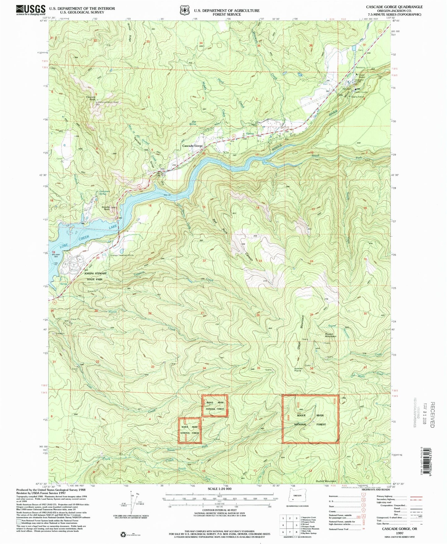
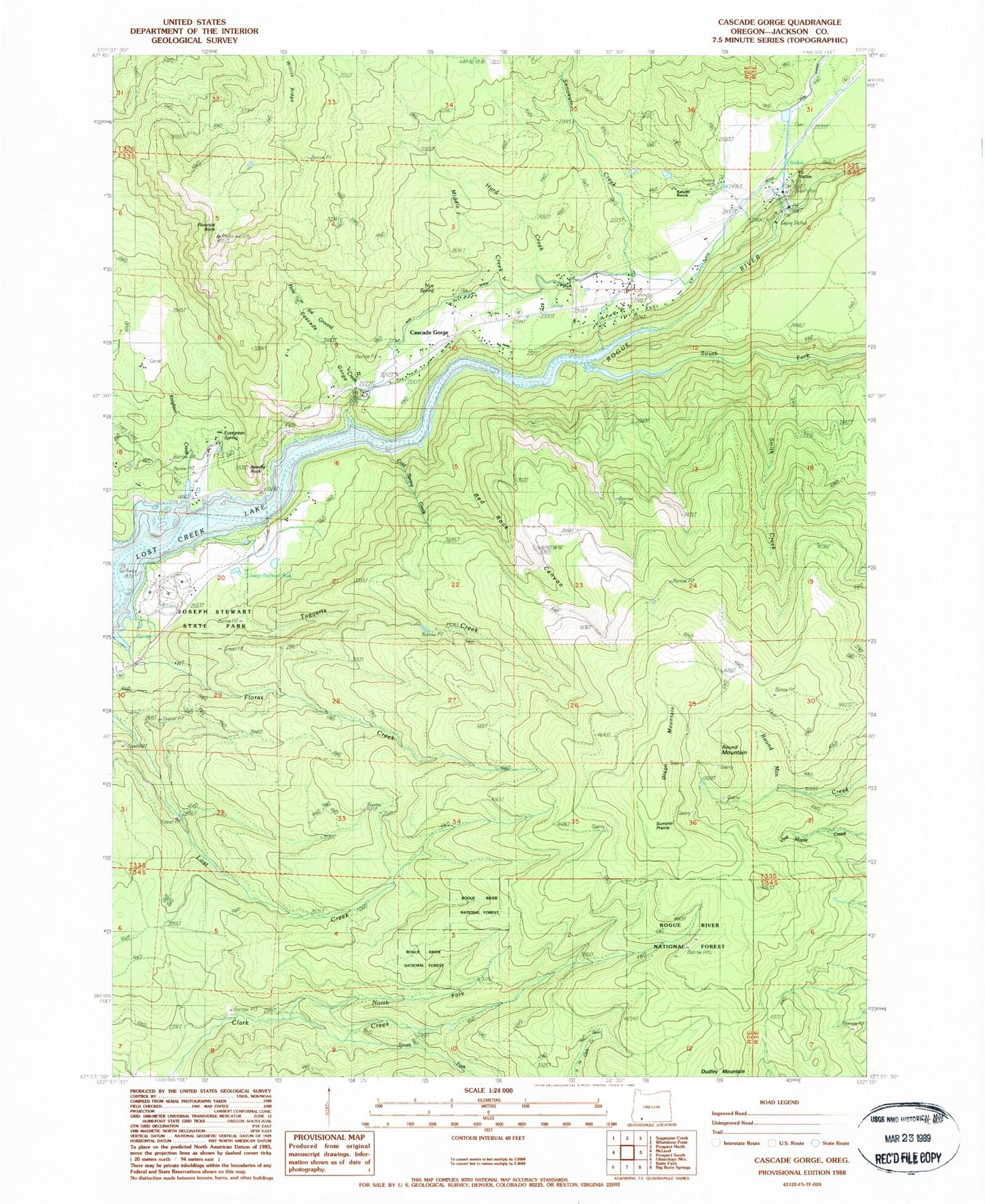
Classic USGS Cascade Gorge Oregon 7.5'x7.5' Topo Map
Couldn't load pickup availability
Historical USGS topographic quad map of Cascade Gorge in the state of Oregon. Map scale may vary for some years, but is generally around 1:24,000. Print size is approximately 24" x 27"
This quadrangle is in the following counties: Jackson.
The map contains contour lines, roads, rivers, towns, and lakes. Printed on high-quality waterproof paper with UV fade-resistant inks, and shipped rolled.
Contains the following named places: Cascade Gorge, Cold Spring Creek, Diamond Creek, Dudley, Dudley Mountain, Dudley Post Office, Evergreen Spring, Flounce Rock, Hole in the Ground Creek, Hurd Creek, Joseph H Stewart State Park, Katydid Ranch, Knighten Creek, Leeds Post Office, Middle Creek, Needle Rock, North Fork Clark Creek, Nye Cemetery, Nye Ditch, Nye Spring, Olson Mountain, Payton, Peyton Bridge, Peyton Reservoir, Prospect Guard Station, Prospect Power Plant, Red Rock Canyon, Round Mountain, Skookum Creek, Skookum Gorge, Smith Creek, South Fork Clark Creek, South Fork Rogue River, Summit Prairie, Taggarts Creek, Tie Creek, Whelpley Post Office


