MyTopo
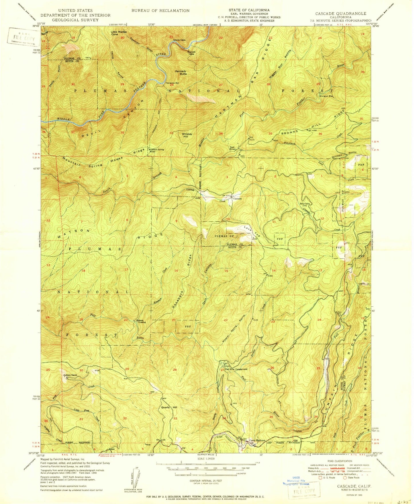
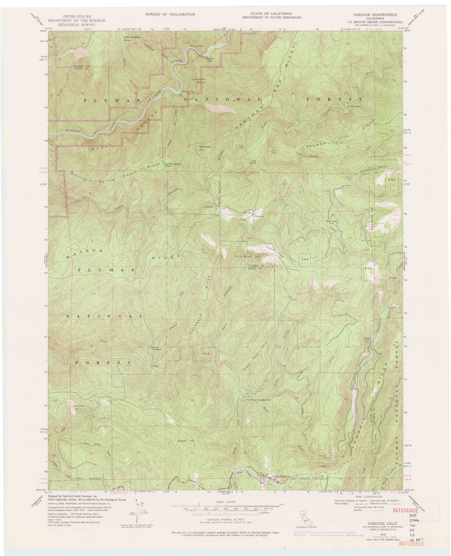
Classic USGS Cascade California 7.5'x7.5' Topo Map
Couldn't load pickup availability
Historical USGS topographic quad map of Cascade in the state of California. Map scale may vary for some years, but is generally around 1:24,000. Print size is approximately 24" x 27"
This quadrangle is in the following counties: Butte, Plumas.
The map contains contour lines, roads, rivers, towns, and lakes. Printed on high-quality waterproof paper with UV fade-resistant inks, and shipped rolled.
Contains the following named places: Bills Cabin, Boomer Creek, Browns Hill Ridge, Camp Eighteen, Cascade, Cascade Creek, Coyote Creek, Dark Canyon, Deadman Gulch, Devil Canyon, Devils Gulch, Fall River Campground, Granes Cabin, Grouse Hollow Creek, Hansons Bar, Hansons Trail, Jackson Ranch, Kellog Ravine, Kenebeck Creek, Kenebeck Ridge, Kennedy Butte, Kennedy Cabin, Lava Creek, Lava Top, Little Frey Creek, Little Marble Cone, Mineral Spring Ravine, Morgan Bar, Mountain Spring House, Mountain Spring House Ridge, Negro Run Ravine, Nelsons Crossing, Pinchard Creek, Quartz Creek, Quartz Hill, Wagners, Walters Mine, Watson Ridge, Whiskey Hill, Williams Ravine, Yard House


