MyTopo
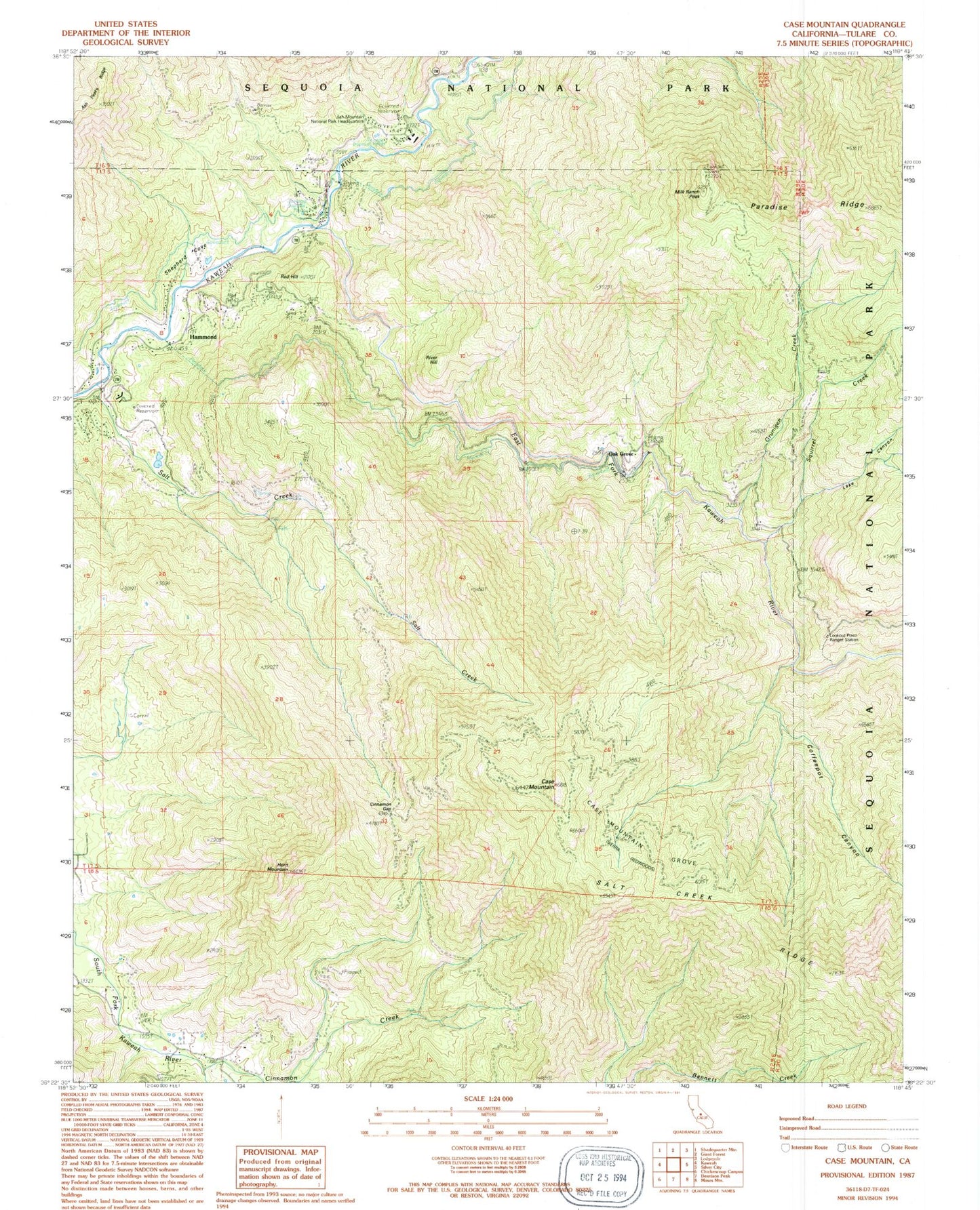
Classic USGS Case Mountain California 7.5'x7.5' Topo Map
Couldn't load pickup availability
Historical USGS topographic quad map of Case Mountain in the state of California. Typical map scale is 1:24,000, but may vary for certain years, if available. Print size: 24" x 27"
This quadrangle is in the following counties: Tulare.
The map contains contour lines, roads, rivers, towns, and lakes. Printed on high-quality waterproof paper with UV fade-resistant inks, and shipped rolled.
Contains the following named places: Ash Mountain National Park Headquarters, Case Mountain, Case Mountain Grove, Cinnamon Gap, Coffeepot Canyon, Grunigen Creek, East Fork Kaweah River, Horn Mountain, Lookout Point Ranger Station, Milk Ranch Peak, River Hill, Salt Creek, Shepherd Cove, Squirrel Creek, Milk Ranch Lookout, Ash Mountain Heliport, Hammond, Oak Grove, Red Hill, Lake Canyon, Sequoia District Ranger Station


