MyTopo
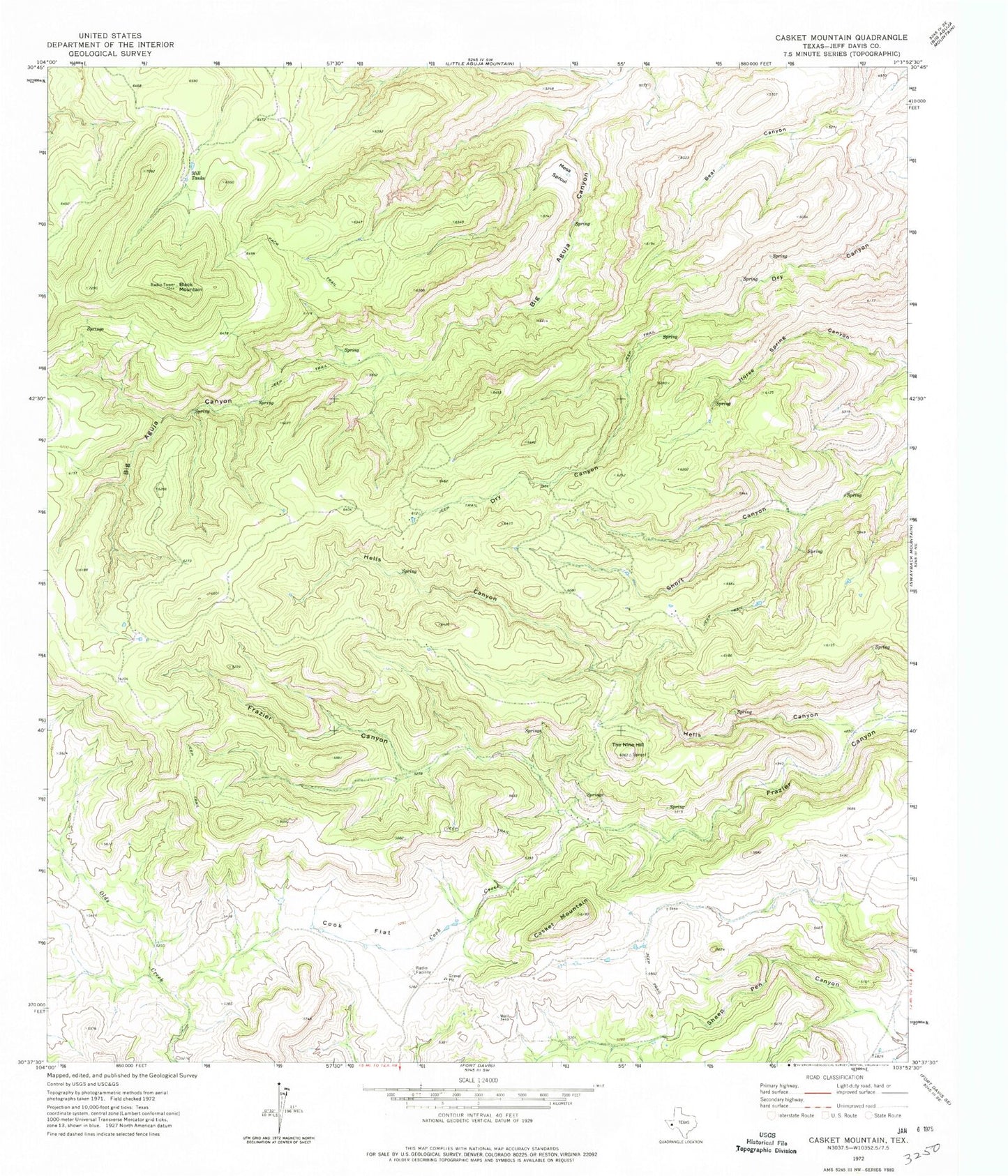
Classic USGS Casket Mountain Texas 7.5'x7.5' Topo Map
Regular price
$16.95
Regular price
Sale price
$16.95
Unit price
per
Couldn't load pickup availability
Historical USGS topographic quad map of Casket Mountain in the state of Texas. Map scale may vary for some years, but is generally around 1:24,000. Print size is approximately 24" x 27"
This quadrangle is in the following counties: Jeff Davis.
The map contains contour lines, roads, rivers, towns, and lakes. Printed on high-quality waterproof paper with UV fade-resistant inks, and shipped rolled.
Contains the following named places: Black Mountain, Casket Mountain, Cook Creek, Cook Flat, Fort Davis Division, Hells Canyon, Mesa Sproul, Mill Tanks, Neill Museum, Overland Trail Museum, The Nine Hill, ZIP Code: 79734