MyTopo
Classic USGS Cass City Michigan 7.5'x7.5' Topo Map
Couldn't load pickup availability
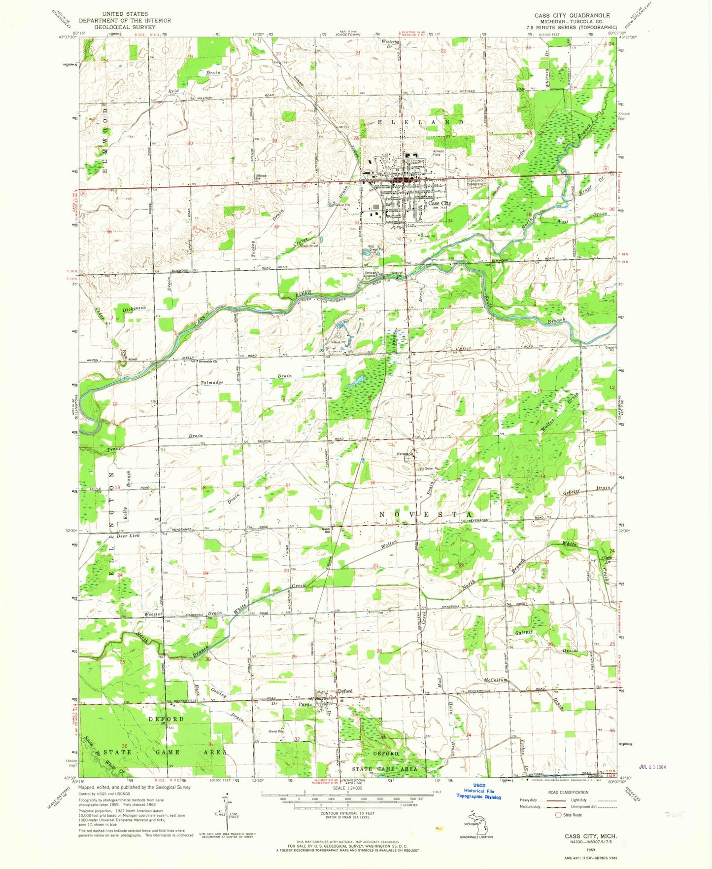
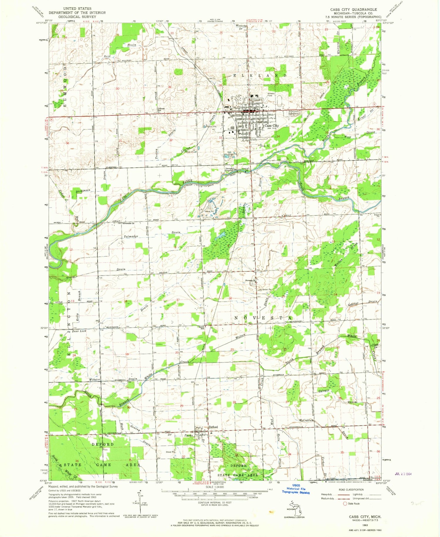
Historical USGS topographic quad map of Cass City in the state of Michigan. Map scale may vary for some years, but is generally around 1:24,000. Print size is approximately 24" x 27"
This quadrangle is in the following counties: Tuscola.
The map contains contour lines, roads, rivers, towns, and lakes. Printed on high-quality waterproof paper with UV fade-resistant inks, and shipped rolled.
Contains the following named places: Baker College of Cass City, Calvary Bible Baptist Church, Cass City, Cass City Elementary School, Cass City Fire Department, Cass City High School, Cass City Methodist Church, Cass City Middle School, Cass City Missionary Church, Cass City Mobile Medical Response, Cass City Police Department, Cass City Post Office, Cass City Station, Cedar Run, Center Drain, Church of Nazarene, Deer Lick Drain, Deford, Deford Christian Academy, Deford Community Church, Deford Post Office, Deford Station, Dickinson Drain, Dillman School, Elkland Township Cemetery, Elkland Township Hall Historical Marker, Evangelical Free Church, First Baptist Church, First Presbyterian Church, Flying T Ranch Airport, Galspie Drain, Gekeler Drain, Good Shepherd Lutheran Church, Gowing Drain, Hack Drain, Hills and Dales General Hospital, Holts Drain, Huntsville Park, Internal Medicine Clinic, Kelly Branch, Living Word Church of God, McCallum Drain, Mud Creek, Mulligan's Irish Links, North Branch Cass River, Novesta Church, Novesta Church Cemetery, Novesta Post Office, Parks Drain, Potters House Christian Fellowship Church, Quick School, Rawson Memorial Library, Reid Drain, Riverside Church, Rolling Hills Golf Course, Saint Pancratius Church, South Branch Cass River, Spencer Drain, State Reward Road Number One Historical Marker, Talmadge Drain, Township of Novesta, Tracy Drain, Tuckey Drain, Village of Cass City, Vorhes Drain, Walton Drain, Webster Drain, Whitney Drain, ZIP Code: 48726


