MyTopo
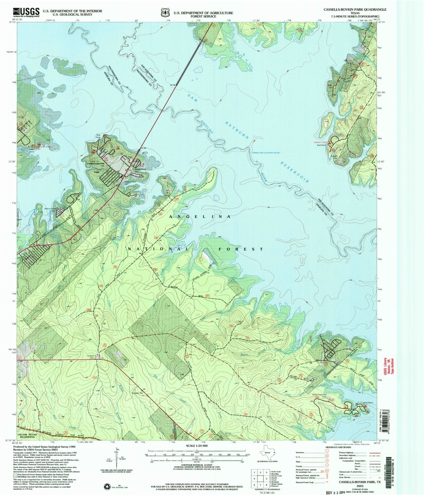
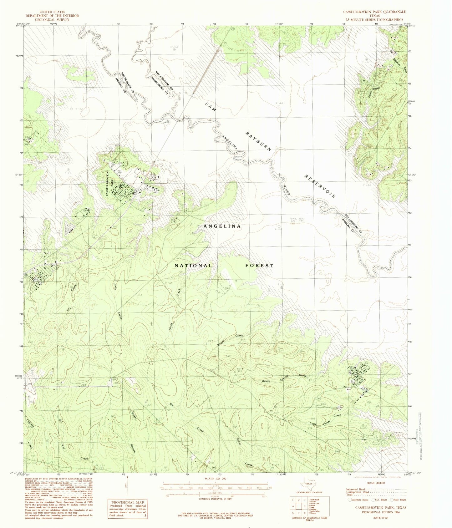
Classic USGS Cassells-Boykin Park Texas 7.5'x7.5' Topo Map
Couldn't load pickup availability
Historical USGS topographic quad map of Cassells-Boykin Park in the state of Texas. Map scale may vary for some years, but is generally around 1:24,000. Print size is approximately 24" x 27"
This quadrangle is in the following counties: Angelina, Nacogdoches, San Augustine.
The map contains contour lines, roads, rivers, towns, and lakes. Printed on high-quality waterproof paper with UV fade-resistant inks, and shipped rolled.
Contains the following named places: Angelina National Forest, Bayou Springs Creek, Blackbum Branch, Boggy Creek, Boykin Cemetery, Brushy Creek, Caney Creek Recreation Site, Cassell Boykin Park Recreation Site, Cassells-Boykin Park, Cassels Cemetery, Concord Cemetery, Concord Church, Dry Creek, Franklin Branch, Harvey Cemetery, Harvey Creek, Harvey Creek Recreation Site, Hog Branch, Indian Creek, Julia Creek, Little Caney Creek, Miller Cemetery, Monterey Boat Ramp, Monterey Park Campground, Mott Cemetery, Mudd Creek, Pophers Creek, Rayburn Branch, Rayburn Cemetery, Rocky Creek, Runnels Cemetery, Warsaw, Zavalla Division


