MyTopo
Classic USGS Cassville Wisconsin 7.5'x7.5' Topo Map
Couldn't load pickup availability
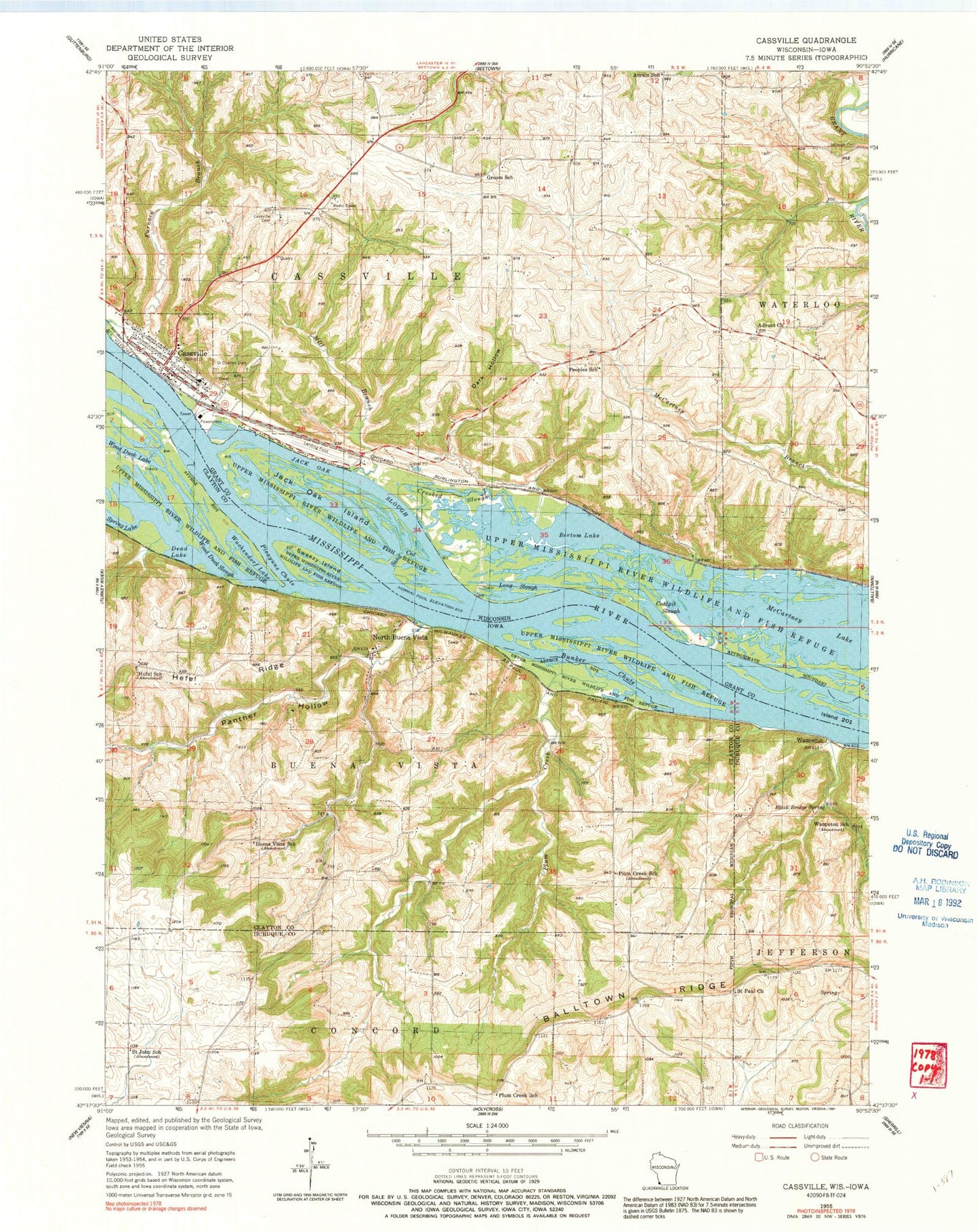
Historical USGS topographic quad map of Cassville in the states of Wisconsin, Iowa. Map scale may vary for some years, but is generally around 1:24,000. Print size is approximately 24" x 27"
This quadrangle is in the following counties: Clayton, Dubuque, Grant.
The map contains contour lines, roads, rivers, towns, and lakes. Printed on high-quality waterproof paper with UV fade-resistant inks, and shipped rolled.
Contains the following named places: Adrain School, Advent Church, Balltown Ridge, Bertom Lake, Black Bridge Spring, Buena Vista School, Bunker Chute, Carney Hollow, Cassville, Cassville Bluffs State Natural Area, Cassville Cemetery, Cassville Elementary School, Cassville Methodist Church, Cassville MIddle and High School, Cassville Municipal Airport, Cassville Police Department, Cassville Post Office, Cassville Rescue Squad Ambulance Service, Cassville Volunteer Fire Department, City of North Buena Vista, Coalpit Slough, Crooked Slough, Dark Hollow, Dead Lake, E J Stoneman Generating Station, Groom School, Hay Meadow Lake, Hefel Ridge, Hefel School, Immaculate Conception Cemetery, Island Number Two Hundred One, Jack Oak Island, Jack Oak Slough, Long Slough, McCartney Lake, Mill Branch, North Buena Vista, North Buena Vista Cemetery, North Buena Vista Post Office, Panther Hollow, Peoples School, Picayune Chute, Plum Creek, Plum Creek School, River Valley Community Church, Riverside Park, Saint Charles Borromeo School, Saint Charles Catholic Church, Saint Charles Cemetery, Saint John School, Saint Paul Church, Saint Paul Lutheran Cemetery, Saint Peters Lutheran Church, Sand Cut, Sprauge Cemetery, Sugar Loaf, Sweezy Island, Town of Cassville, Township of Buena Vista, Village of Cassville, Wachendorf Lake, Waupeton, Waupeton Post Office, Waupeton School, Wood Duck Slough, ZIP Codes: 52066, 53806


