MyTopo
Classic USGS Castle Butte Idaho 7.5'x7.5' Topo Map
Regular price
$16.95
Regular price
Sale price
$16.95
Unit price
per
Couldn't load pickup availability
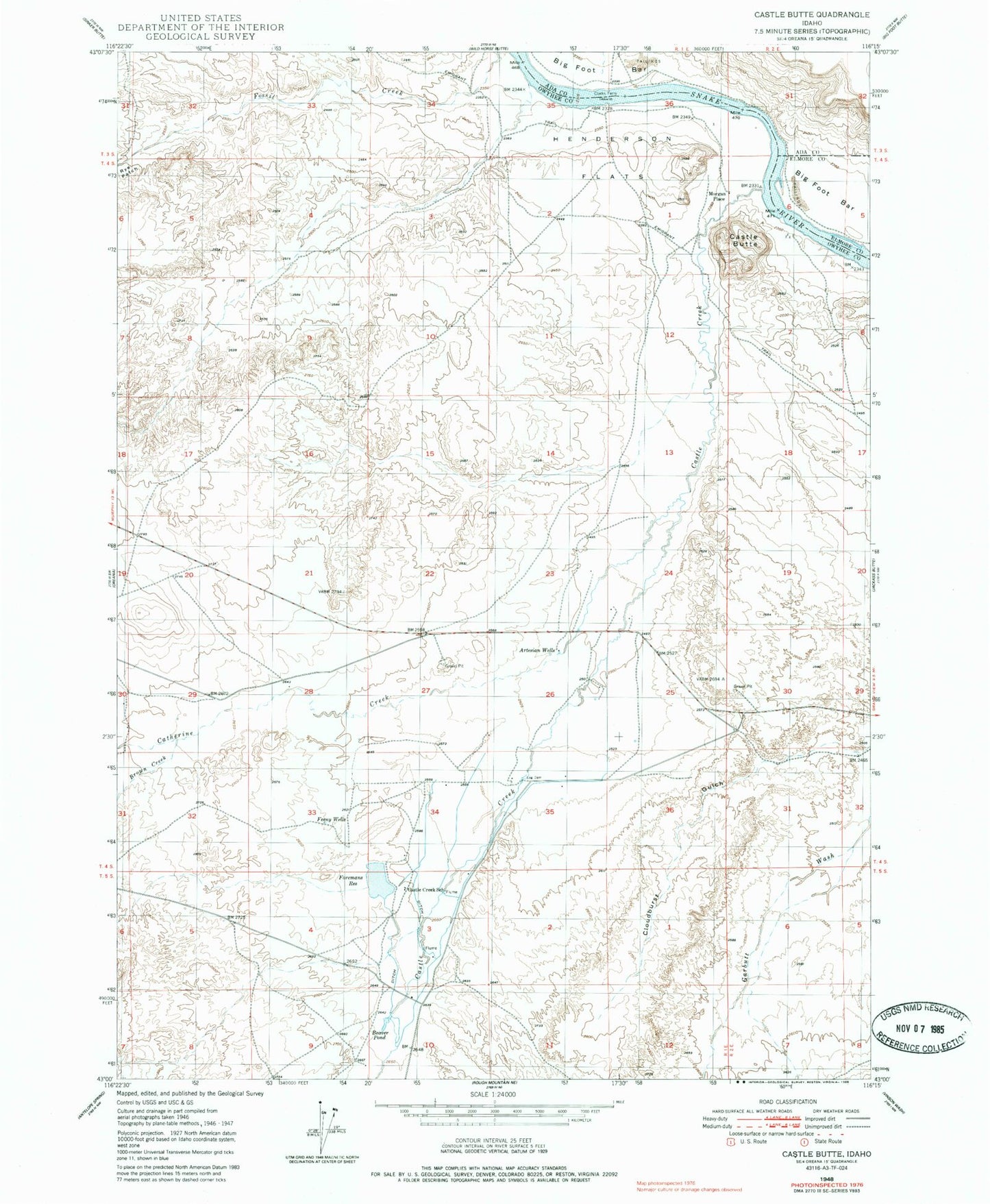
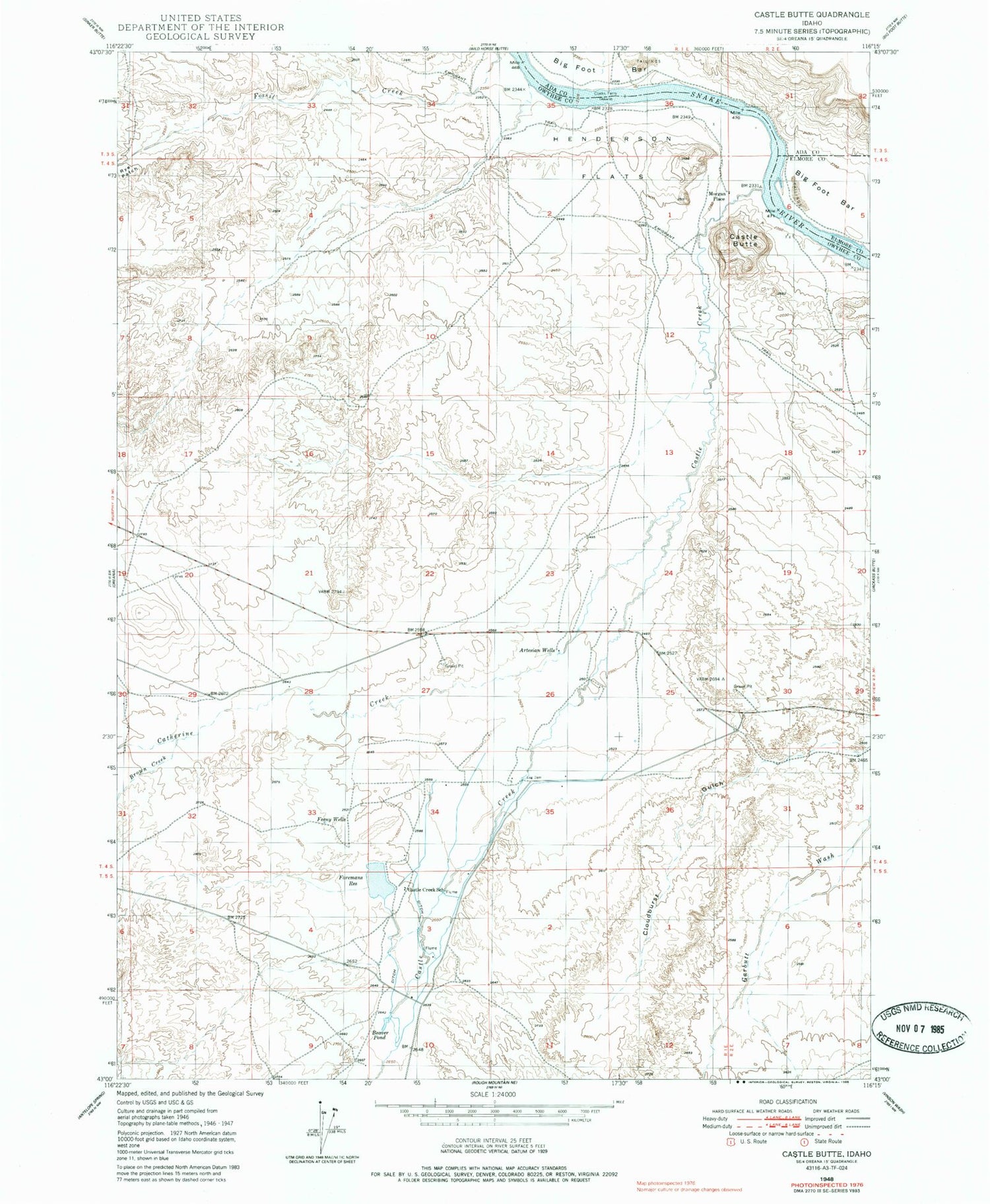
Historical USGS topographic quad map of Castle Butte in the state of Idaho. Map scale may vary for some years, but is generally around 1:24,000. Print size is approximately 24" x 27"
This quadrangle is in the following counties: Ada, Elmore, Owyhee.
The map contains contour lines, roads, rivers, towns, and lakes. Printed on high-quality waterproof paper with UV fade-resistant inks, and shipped rolled.
Contains the following named places: Browns Creek, Castle Butte, Castle Creek, Castle Creek School, Catherine Creek, Clarks Ferry, Feeny Wells, Foreman Dam, Foremans Reservoir, Garbutt Wash, Henderson Flats, Morgan Place, Oregon Trail - South Alternate